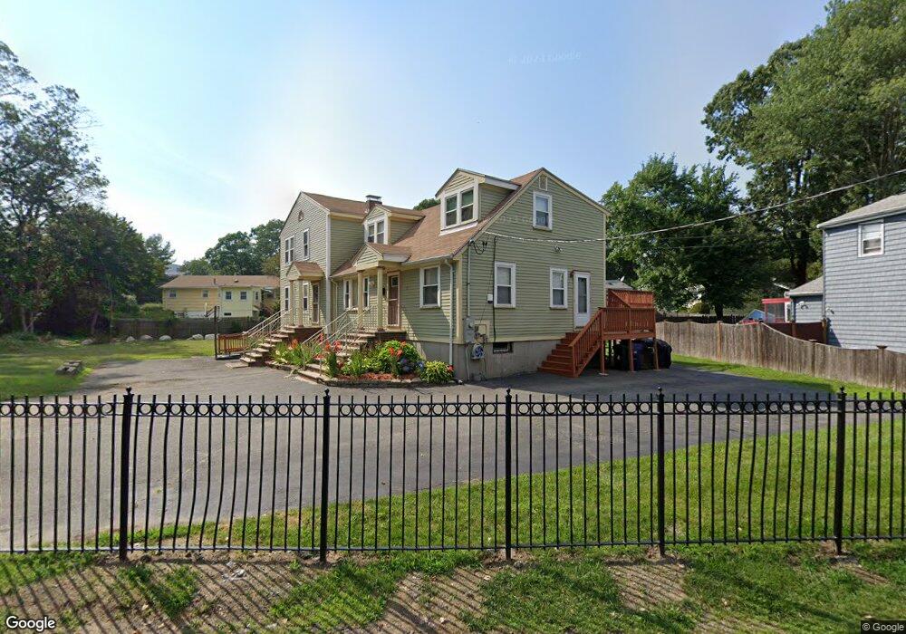
55 Monterey Ave Mattapan, MA 02126
Southern Mattapan NeighborhoodEstimated Value: $766,000 - $1,333,000
4
Beds
6
Baths
2,539
Sq Ft
$377/Sq Ft
Est. Value
About This Home
This home is located at 55 Monterey Ave, Mattapan, MA 02126 and is currently estimated at $957,778, approximately $377 per square foot. 55 Monterey Ave is a home located in Suffolk County with nearby schools including KIPP Academy Boston Charter School and Berea Seventh-day Adventist Academy.
Ownership History
Date
Name
Owned For
Owner Type
Purchase Details
Closed on
May 4, 2001
Sold by
Lowe Cheryl E
Bought by
Lowe Cheryl E
Current Estimated Value
Home Financials for this Owner
Home Financials are based on the most recent Mortgage that was taken out on this home.
Original Mortgage
$223,236
Outstanding Balance
$82,245
Interest Rate
6.85%
Mortgage Type
Purchase Money Mortgage
Estimated Equity
$875,533
Purchase Details
Closed on
Jun 18, 1991
Sold by
Fitzgerald Winifred A and Fitzgerald William
Bought by
Gregory Patrick A
Home Financials for this Owner
Home Financials are based on the most recent Mortgage that was taken out on this home.
Original Mortgage
$99,000
Interest Rate
9.39%
Mortgage Type
Purchase Money Mortgage
Create a Home Valuation Report for This Property
The Home Valuation Report is an in-depth analysis detailing your home's value as well as a comparison with similar homes in the area
Home Values in the Area
Average Home Value in this Area
Purchase History
| Date | Buyer | Sale Price | Title Company |
|---|---|---|---|
| Lowe Cheryl E | $225,000 | -- | |
| Gregory Patrick A | $110,000 | -- |
Source: Public Records
Mortgage History
| Date | Status | Borrower | Loan Amount |
|---|---|---|---|
| Open | Lowe Cheryl E | $223,236 | |
| Previous Owner | Gregory Patrick A | $99,000 |
Source: Public Records
Tax History Compared to Growth
Tax History
| Year | Tax Paid | Tax Assessment Tax Assessment Total Assessment is a certain percentage of the fair market value that is determined by local assessors to be the total taxable value of land and additions on the property. | Land | Improvement |
|---|---|---|---|---|
| 2025 | $9,430 | $814,300 | $148,200 | $666,100 |
| 2024 | $9,173 | $841,600 | $148,300 | $693,300 |
| 2023 | $8,175 | $761,200 | $134,100 | $627,100 |
| 2022 | $6,833 | $628,000 | $130,700 | $497,300 |
| 2021 | $6,207 | $581,700 | $124,500 | $457,200 |
| 2020 | $5,266 | $498,700 | $111,100 | $387,600 |
| 2019 | $5,056 | $479,700 | $83,300 | $396,400 |
| 2018 | $4,698 | $448,300 | $83,300 | $365,000 |
| 2017 | $4,356 | $411,300 | $83,300 | $328,000 |
| 2016 | $4,113 | $373,900 | $83,300 | $290,600 |
| 2015 | $4,292 | $354,400 | $97,100 | $257,300 |
| 2014 | $4,089 | $325,000 | $97,100 | $227,900 |
Source: Public Records
Map
Nearby Homes
- 100 Itasca St
- 14-14R Kennebec St
- 60 and 64 Monterey Ave
- 20 Monterey Ave
- 116 Almont St
- 10 Itasca St
- 49 Fottler Rd
- 231 Itasca St
- 58 Mattapan St
- 72 Livermore St
- 45 1st Ave Unit 111
- 12 Hiawatha Rd
- 710 Walk Hill St
- 95 Woodhaven St
- 10 Brockton St
- 839-843 Cummins Hwy
- 179 Hebron St
- 1465 Blue Hill Ave
- 770 Cummins Hwy Unit 1
- 770 Cummins Hwy Unit 22