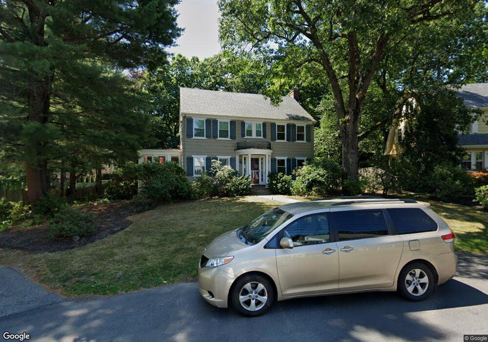
55 Morse Rd Newtonville, MA 02460
Newtonville NeighborhoodEstimated Value: $1,990,000 - $2,196,000
4
Beds
4
Baths
2,619
Sq Ft
$793/Sq Ft
Est. Value
About This Home
This home is located at 55 Morse Rd, Newtonville, MA 02460 and is currently estimated at $2,076,363, approximately $792 per square foot. 55 Morse Rd is a home located in Middlesex County with nearby schools including Cabot Elementary School, F.A. Day Middle School, and Newton North High School.
Ownership History
Date
Name
Owned For
Owner Type
Purchase Details
Closed on
Jul 8, 2020
Sold by
Victor Richard A and Victor Marlyn A
Bought by
Katz Tamar and Banks Eric
Current Estimated Value
Home Financials for this Owner
Home Financials are based on the most recent Mortgage that was taken out on this home.
Original Mortgage
$1,240,000
Outstanding Balance
$1,099,550
Interest Rate
3.1%
Mortgage Type
Purchase Money Mortgage
Estimated Equity
$976,813
Purchase Details
Closed on
Sep 5, 1991
Sold by
Glick Monroe S
Bought by
Victor Richard A and Victor Marilyn A
Create a Home Valuation Report for This Property
The Home Valuation Report is an in-depth analysis detailing your home's value as well as a comparison with similar homes in the area
Home Values in the Area
Average Home Value in this Area
Purchase History
| Date | Buyer | Sale Price | Title Company |
|---|---|---|---|
| Katz Tamar | $1,550,000 | None Available | |
| Victor Richard A | $370,000 | -- |
Source: Public Records
Mortgage History
| Date | Status | Borrower | Loan Amount |
|---|---|---|---|
| Open | Katz Tamar | $1,240,000 | |
| Previous Owner | Victor Richard A | $390,000 | |
| Previous Owner | Victor Richard A | $400,000 | |
| Previous Owner | Victor Richard A | $298,000 |
Source: Public Records
Tax History Compared to Growth
Tax History
| Year | Tax Paid | Tax Assessment Tax Assessment Total Assessment is a certain percentage of the fair market value that is determined by local assessors to be the total taxable value of land and additions on the property. | Land | Improvement |
|---|---|---|---|---|
| 2025 | $17,197 | $1,754,800 | $1,357,800 | $397,000 |
| 2024 | $16,628 | $1,703,700 | $1,318,300 | $385,400 |
| 2023 | $15,778 | $1,549,900 | $1,008,900 | $541,000 |
| 2022 | $15,097 | $1,435,100 | $934,200 | $500,900 |
| 2021 | $14,568 | $1,353,900 | $881,300 | $472,600 |
| 2020 | $12,851 | $1,230,900 | $801,100 | $429,800 |
| 2019 | $12,488 | $1,195,000 | $777,800 | $417,200 |
| 2018 | $11,998 | $1,108,900 | $701,400 | $407,500 |
| 2017 | $11,633 | $1,046,100 | $661,700 | $384,400 |
| 2016 | $11,126 | $977,700 | $618,400 | $359,300 |
| 2015 | $10,608 | $913,700 | $577,900 | $335,800 |
Source: Public Records
Map
Nearby Homes
- 3 Cedar St
- 34 Morton Rd
- 95 Blake St
- 887 Commonwealth Ave
- 73 Elmore St
- 206-208 Cabot St
- 110 Harvard St
- 1004 Centre St
- 61 Lakeview Ave
- 59 Charlotte Rd
- 154 Beaumont Ave
- Lots 2 & 3 Chapin Rd
- Lot 3 Chapin Rd
- Lot 2 Chapin Rd
- 112 Washington Park Unit 1
- 34 Winchester Rd Unit 34
- 22 Walnut Place Unit 1
- 48 Harvard St Unit 1
- 31 W Boulevard Rd
- 4 Charlotte Rd