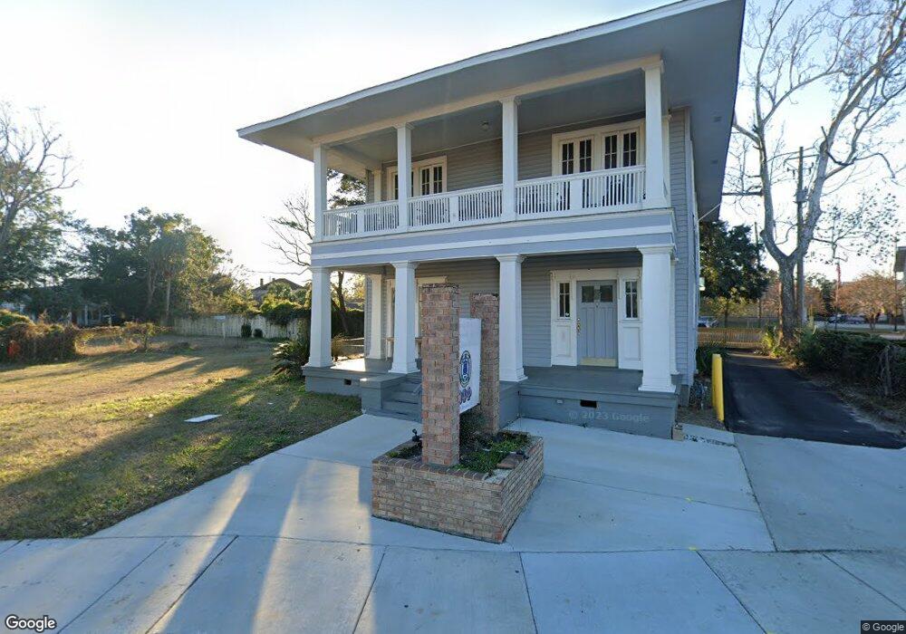
55 N Broad St Mobile, AL 36602
Downtown Mobile NeighborhoodEstimated Value: $68,148
Studio
--
Bath
--
Sq Ft
8,756
Sq Ft Lot
About This Home
This home is located at 55 N Broad St, Mobile, AL 36602 and is currently estimated at $68,148. 55 N Broad St is a home located in Mobile County with nearby schools including Florence Howard Elementary School, Calloway Smith Middle School, and Ben C Rain High School.
Ownership History
Date
Name
Owned For
Owner Type
Purchase Details
Closed on
Apr 16, 2007
Sold by
Randolph Johnnie R
Bought by
Robinson John R
Current Estimated Value
Create a Home Valuation Report for This Property
The Home Valuation Report is an in-depth analysis detailing your home's value as well as a comparison with similar homes in the area
Home Values in the Area
Average Home Value in this Area
Purchase History
| Date | Buyer | Sale Price | Title Company |
|---|---|---|---|
| Robinson John R | -- | None Available |
Source: Public Records
Tax History
| Year | Tax Paid | Tax Assessment Tax Assessment Total Assessment is a certain percentage of the fair market value that is determined by local assessors to be the total taxable value of land and additions on the property. | Land | Improvement |
|---|---|---|---|---|
| 2025 | $285 | $6,160 | $6,160 | $0 |
| 2024 | $285 | $3,560 | $3,560 | $0 |
| 2023 | $270 | $3,520 | $3,520 | $0 |
| 2022 | $224 | $3,520 | $3,520 | $0 |
| 2021 | $224 | $3,520 | $3,520 | $0 |
| 2020 | $335 | $5,280 | $5,280 | $0 |
| 2019 | $441 | $6,940 | $6,940 | $0 |
| 2018 | $441 | $6,940 | $0 | $0 |
| 2017 | $441 | $6,940 | $0 | $0 |
| 2016 | $441 | $6,940 | $0 | $0 |
| 2013 | $441 | $6,940 | $0 | $0 |
Source: Public Records
Map
Nearby Homes
- 105 Marine St
- 109 Marine St
- 101 Marine St
- 928 Government St
- 932 Government St
- 936 Government St
- 916 Church St Unit Lot 6
- 916 Church St Unit Lot 7
- 753 Saint Francis St Unit 2001B
- 753 St Francis St Unit 2001B
- 753 St Francis St Unit 3001B
- 753 St Francis St Unit 2003A
- 753 St Francis St Unit 1001
- 709 Dauphin St Unit 1
- 701 Dauphin St Unit A
- 962 Government St
- 7 Common St
- 150 S Dearborn St
- 1010 Caroline Ave
- 1006 Dauphin St
- 532 3rd St S
- 0 N Gates Cir Unit 266254
- 0 N Gates Cir Unit 295382
- 853 Dauphin St Unit 5
- 853 Dauphin St Unit 4
- 853 Dauphin St
- 805 Government St
- 907 Government St
- 910 Government St
- 909 Government St
- 909 Government St Unit B
- 110 S Broad St
- 110 S Broad St Unit 4
- 110 S Broad St Unit 3
- 110 S Broad St Unit 2
- 63 S Bayou St
- 106 S Bayou St
- 106 S Bayou St Unit A
- 106 S Bayou St Unit B
- 911 Government St
Your Personal Tour Guide
Ask me questions while you tour the home.