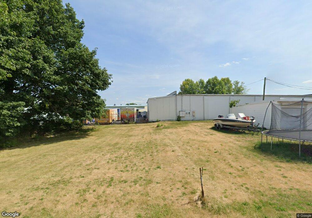
Estimated Value: $492,471
--
Bed
--
Bath
6,900
Sq Ft
$71/Sq Ft
Est. Value
About This Home
This home is located at 55 N Forrest St, York, PA 17404 and is currently estimated at $492,471, approximately $71 per square foot. 55 N Forrest St is a home located in York County with nearby schools including West York Area High School, Lincoln Charter School, and Logos Academy.
Ownership History
Date
Name
Owned For
Owner Type
Purchase Details
Closed on
Jul 31, 2018
Sold by
Hassler David J and Hassler Carol
Bought by
Bricker Donald
Current Estimated Value
Purchase Details
Closed on
May 4, 2018
Sold by
Hassler Keith A and Hassler David W
Bought by
Hassler E David J and Wayne E Hassler E
Purchase Details
Closed on
Apr 9, 2012
Sold by
Hassler Keith A and Estate Of Charles A Heyelman
Bought by
Hassler David J and Hassler Wayne E
Purchase Details
Closed on
Feb 17, 2005
Sold by
Heyelman Charles A and Estate Of Ruth H Heyelman
Bought by
Heyelman Charles A
Create a Home Valuation Report for This Property
The Home Valuation Report is an in-depth analysis detailing your home's value as well as a comparison with similar homes in the area
Home Values in the Area
Average Home Value in this Area
Purchase History
| Date | Buyer | Sale Price | Title Company |
|---|---|---|---|
| Bricker Donald | $275,000 | None Available | |
| Hassler E David J | -- | None Available | |
| Hassler David J | -- | None Available | |
| Heyelman Ruth H | -- | None Available | |
| Heyelman Charles A | -- | -- |
Source: Public Records
Tax History Compared to Growth
Tax History
| Year | Tax Paid | Tax Assessment Tax Assessment Total Assessment is a certain percentage of the fair market value that is determined by local assessors to be the total taxable value of land and additions on the property. | Land | Improvement |
|---|---|---|---|---|
| 2025 | $5,638 | $167,190 | $59,280 | $107,910 |
| 2024 | $5,496 | $167,190 | $59,280 | $107,910 |
| 2023 | $5,496 | $167,190 | $59,280 | $107,910 |
| 2022 | $5,496 | $167,190 | $59,280 | $107,910 |
| 2021 | $5,329 | $167,190 | $59,280 | $107,910 |
| 2020 | $5,329 | $167,190 | $59,280 | $107,910 |
| 2019 | $5,229 | $167,190 | $59,280 | $107,910 |
| 2018 | $5,187 | $167,190 | $59,280 | $107,910 |
| 2017 | $5,028 | $167,190 | $59,280 | $107,910 |
| 2016 | $0 | $167,190 | $59,280 | $107,910 |
| 2015 | -- | $167,190 | $59,280 | $107,910 |
| 2014 | -- | $167,190 | $59,280 | $107,910 |
Source: Public Records
Map
Nearby Homes
- 34 N Gotwalt St
- 210 N Gotwalt St
- 26 S Oxford St
- 1925 W Philadelphia St
- 112 N Diamond St
- 516 N Scott St
- 2310 Bannister St
- 1935 Orange St
- 1995 Worth St
- 1720 Monroe St
- 40 S Sumner St
- 39 S Sumner St
- 766 Weldon Dr
- 2775 Quaker Ct
- 1637 Monroe St
- 91 Hull Dr
- 90 Hull Dr
- 1609 Stanton St
- 19 N Seward St
- 1616 W Poplar Terrace
- 9 1/2 N Forrest St
- 9 N Forrest St
- 9 N Forrest St
- 15 N Forrest St
- 25 N Forrest St
- 7 N Forrest St
- 5 N Forrest St
- 2222 W Philadelphia St
- 96 N Forrest St
- 2227 W Market St Unit 2ND FLOOR
- 2227 W Market St
- 2221 W Market St
- 2241 W Market St
- 98 N Forrest St
- 2217 W Market St
- 2301 W Market St
- 107 N Forrest St
- 2213 W Market St
- 100 N Forrest St
- 33 N Gotwalt St
