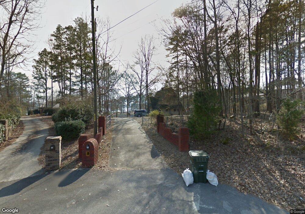
55 Navajo Cir Unit 66 Pell City, AL 35128
Estimated Value: $388,000 - $433,000
3
Beds
3
Baths
1,749
Sq Ft
$235/Sq Ft
Est. Value
About This Home
This home is located at 55 Navajo Cir Unit 66, Pell City, AL 35128 and is currently estimated at $410,538, approximately $234 per square foot. 55 Navajo Cir Unit 66 is a home located in St. Clair County.
Ownership History
Date
Name
Owned For
Owner Type
Purchase Details
Closed on
Feb 27, 2020
Sold by
Pattillo Robert A and Pattillo Vicki R
Bought by
Duke Angela M
Current Estimated Value
Purchase Details
Closed on
Mar 13, 2008
Sold by
Ingham Don E and Ingham Misti L
Bought by
Pattillo Robert A and Pattillo Vicki R
Home Financials for this Owner
Home Financials are based on the most recent Mortgage that was taken out on this home.
Original Mortgage
$150,000
Interest Rate
5.68%
Mortgage Type
New Conventional
Create a Home Valuation Report for This Property
The Home Valuation Report is an in-depth analysis detailing your home's value as well as a comparison with similar homes in the area
Home Values in the Area
Average Home Value in this Area
Purchase History
| Date | Buyer | Sale Price | Title Company |
|---|---|---|---|
| Duke Angela M | $240,000 | None Available | |
| Pattillo Robert A | $245,000 | None Available |
Source: Public Records
Mortgage History
| Date | Status | Borrower | Loan Amount |
|---|---|---|---|
| Previous Owner | Pattillo Robert A | $150,000 |
Source: Public Records
Tax History Compared to Growth
Tax History
| Year | Tax Paid | Tax Assessment Tax Assessment Total Assessment is a certain percentage of the fair market value that is determined by local assessors to be the total taxable value of land and additions on the property. | Land | Improvement |
|---|---|---|---|---|
| 2024 | $1,194 | $58,204 | $18,000 | $40,204 |
| 2023 | $1,218 | $50,792 | $18,000 | $32,792 |
| 2022 | $1,043 | $50,792 | $18,000 | $32,792 |
| 2021 | $915 | $50,792 | $18,000 | $32,792 |
| 2020 | $943 | $50,810 | $18,000 | $32,810 |
| 2019 | $943 | $52,388 | $18,000 | $34,388 |
| 2018 | $845 | $23,460 | $0 | $0 |
| 2017 | $881 | $23,460 | $0 | $0 |
| 2016 | $851 | $23,640 | $0 | $0 |
| 2015 | $881 | $23,640 | $0 | $0 |
| 2014 | $881 | $24,480 | $0 | $0 |
Source: Public Records
Map
Nearby Homes
- 75 Nathan Ln
- 254 Osprey Dr
- 445 Big Oak Cir
- 380 Richards Cir Unit 54
- 160 Mohican Dr
- 715 Cassie Dr W
- 80 Fritz Dr
- 6470 Mays Bend Rd
- lot 23 Woodhaven Dr Unit 23
- Lot 5 Woodhaven Dr Unit 5
- Lot 6 Woodhaven Dr Unit 6
- Lot 4 Woodhaven Dr
- Lot 24 Woodhaven Dr Unit 24
- Lot 7 Woodhaven Dr Unit 7
- Lot 14 Woodhaven Dr Unit 14
- Lot 17 Woodhaven Dr Unit 17
- 6373 Mays Bend Rd
- 71 Dove Cove Rd
- 408 Eagle Pointe Dr
- 165 Wood Ln