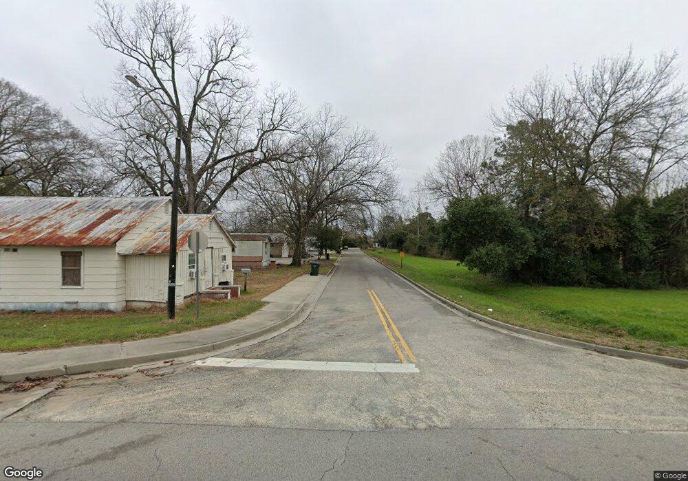
55 NE Broad St Metter, GA 30439
--
Bed
--
Bath
3,075
Sq Ft
3,049
Sq Ft Lot
About This Home
This home is located at 55 NE Broad St, Metter, GA 30439. 55 NE Broad St is a home located in Candler County with nearby schools including Metter Elementary School, Metter Intermediate School, and Metter Middle School.
Ownership History
Date
Name
Owned For
Owner Type
Purchase Details
Closed on
Jun 5, 2014
Sold by
Hadden Larry M
Bought by
Hadden Family Properties Llc
Home Financials for this Owner
Home Financials are based on the most recent Mortgage that was taken out on this home.
Original Mortgage
$950,000
Outstanding Balance
$297,229
Interest Rate
4.28%
Mortgage Type
Commercial
Purchase Details
Closed on
Apr 26, 2014
Sold by
Lemwood Farms Lllp
Bought by
Hadden Larry M
Home Financials for this Owner
Home Financials are based on the most recent Mortgage that was taken out on this home.
Original Mortgage
$950,000
Outstanding Balance
$297,229
Interest Rate
4.28%
Mortgage Type
Commercial
Purchase Details
Closed on
Jul 27, 1998
Sold by
Nevil J L
Bought by
Lemwood Farms Lllp
Create a Home Valuation Report for This Property
The Home Valuation Report is an in-depth analysis detailing your home's value as well as a comparison with similar homes in the area
Home Values in the Area
Average Home Value in this Area
Purchase History
| Date | Buyer | Sale Price | Title Company |
|---|---|---|---|
| Hadden Family Properties Llc | -- | -- | |
| Hadden Larry M | $115,000 | -- | |
| Lemwood Farms Lllp | -- | -- |
Source: Public Records
Mortgage History
| Date | Status | Borrower | Loan Amount |
|---|---|---|---|
| Open | Hadden Family Properties Llc | $950,000 |
Source: Public Records
Tax History Compared to Growth
Tax History
| Year | Tax Paid | Tax Assessment Tax Assessment Total Assessment is a certain percentage of the fair market value that is determined by local assessors to be the total taxable value of land and additions on the property. | Land | Improvement |
|---|---|---|---|---|
| 2024 | $1,249 | $26,253 | $3,136 | $23,117 |
| 2023 | $1,243 | $26,253 | $3,136 | $23,117 |
| 2022 | $1,165 | $24,267 | $2,688 | $21,579 |
| 2021 | $1,147 | $24,268 | $2,688 | $21,580 |
| 2020 | $1,310 | $28,377 | $2,688 | $25,689 |
| 2019 | $780 | $14,706 | $2,688 | $12,018 |
Source: Public Records
Map
Nearby Homes
- 250 S Lewis St
- 295 S Lewis St
- 40 Hickory St
- 365 S Leroy St
- 405 S Leroy St
- 450 S Rountree St
- 405 Preston St
- 550 S Rountree St
- 465 Cedar St
- 150 W Willow Lake Dr
- 0 Central Ave Unit 10628403
- 4515 Harper Rd
- 1449 Hulsey Dr
- 286 Webb Cir
- 0 Oak Tree Rd Unit (31.62 AC) 10490874
- 743 Ann's Ln
- 0 Indigo Rd Unit 10425491
- 6424 Collins Rd
- 26844 Georgia 46
- 0 Canoochee Rd Unit 10565737
- 39 NE Broad St
- 0 N Highway 121 Unit 7160481
- 0 N Highway 121 Unit 8699460
- 0 N Highway 121 Unit 8569354
- 0 N Highway 121 Unit 8466057
- 11,15,19 NE Broad St (3 Adjoining Buildings)
- 33 N Lewis St
- 28 N Rountree St
- 60 N Rountree St
- 0 Highway 46 E Unit 8227475
- 0 Highway 46 E Unit 8213850
- 000 Highway 46 E
- 0 Highway 46 E Unit 7029588
- 0 Highway 46 E Unit 7253936
- 0 Highway 46 E Unit 5 7403603
- 0 Highway 46 E Unit 5 7404732
- 0 Highway 46 E Unit 7436005
- 0 Highway 46 E Unit 7517028
- 0 Highway 46 E Unit 7590534
- 0 Highway 46 E Unit 7609625