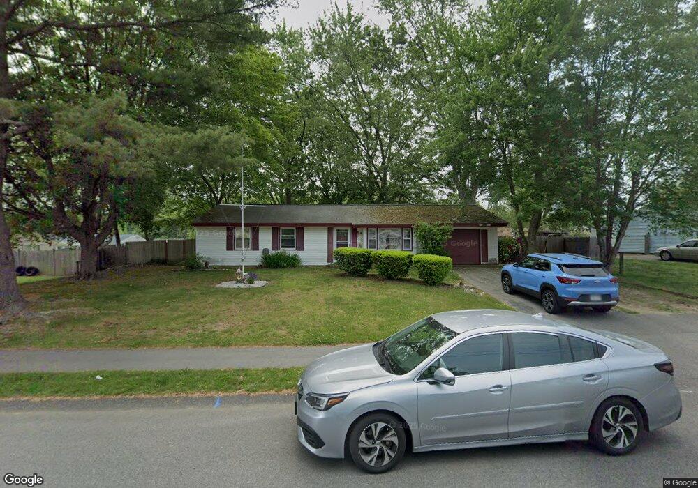
55 Nessralla Dr Brockton, MA 02302
Estimated Value: $465,000 - $508,000
3
Beds
1
Bath
1,232
Sq Ft
$389/Sq Ft
Est. Value
About This Home
This home is located at 55 Nessralla Dr, Brockton, MA 02302 and is currently estimated at $479,436, approximately $389 per square foot. 55 Nessralla Dr is a home located in Plymouth County with nearby schools including Davis K-8 School, John F. Kennedy Elementary School, and South Middle School.
Create a Home Valuation Report for This Property
The Home Valuation Report is an in-depth analysis detailing your home's value as well as a comparison with similar homes in the area
Home Values in the Area
Average Home Value in this Area
Tax History Compared to Growth
Tax History
| Year | Tax Paid | Tax Assessment Tax Assessment Total Assessment is a certain percentage of the fair market value that is determined by local assessors to be the total taxable value of land and additions on the property. | Land | Improvement |
|---|---|---|---|---|
| 2025 | $4,740 | $391,400 | $159,500 | $231,900 |
| 2024 | $4,532 | $377,000 | $159,500 | $217,500 |
| 2023 | $4,364 | $336,200 | $109,800 | $226,400 |
| 2022 | $4,032 | $288,600 | $99,800 | $188,800 |
| 2021 | $4,019 | $277,200 | $92,400 | $184,800 |
| 2020 | $3,928 | $259,300 | $81,200 | $178,100 |
| 2019 | $3,619 | $232,900 | $77,400 | $155,500 |
| 2018 | $3,398 | $211,600 | $77,400 | $134,200 |
| 2017 | $2,858 | $177,500 | $77,400 | $100,100 |
| 2016 | $3,106 | $178,900 | $73,800 | $105,100 |
| 2015 | $2,764 | $152,300 | $73,800 | $78,500 |
| 2014 | $2,877 | $158,700 | $73,800 | $84,900 |
Source: Public Records
Map
Nearby Homes
- 47 Nessralla Dr
- 220 Southfield Dr
- 63 Nessralla Dr
- 212 Southfield Dr
- 52 Nessralla Dr
- 60 Nessralla Dr
- 230 Southfield Dr
- 204 Southfield Dr
- 44 Nessralla Dr
- 39 Nessralla Dr
- 68 Nessralla Dr
- 31 Hopkins Rd
- 36 Nessralla Dr
- 221 Southfield Dr
- 213 Southfield Dr
- 39 Hopkins Rd
- 21 Hopkins Rd
- 196 Southfield Dr
- 76 Nessralla Dr
- 229 Southfield Dr