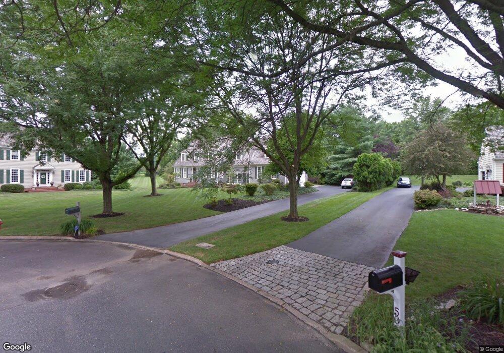
55 Parkside Dr Langhorne, PA 19047
Estimated Value: $780,000 - $1,058,000
6
Beds
3
Baths
2,240
Sq Ft
$410/Sq Ft
Est. Value
About This Home
This home is located at 55 Parkside Dr, Langhorne, PA 19047 and is currently estimated at $918,992, approximately $410 per square foot. 55 Parkside Dr is a home located in Bucks County with nearby schools including Pearl S. Buck Elementary School, Maple Point Middle School, and Neshaminy High School.
Ownership History
Date
Name
Owned For
Owner Type
Purchase Details
Closed on
Jan 31, 2003
Sold by
Rowan James P and Rowan Joan T
Bought by
Lomanto Mark F and Lomanto Christine C
Current Estimated Value
Home Financials for this Owner
Home Financials are based on the most recent Mortgage that was taken out on this home.
Original Mortgage
$300,000
Outstanding Balance
$127,826
Interest Rate
5.88%
Estimated Equity
$791,166
Purchase Details
Closed on
Jul 8, 1988
Bought by
Rowan James P and Rowan Joan T
Create a Home Valuation Report for This Property
The Home Valuation Report is an in-depth analysis detailing your home's value as well as a comparison with similar homes in the area
Home Values in the Area
Average Home Value in this Area
Purchase History
| Date | Buyer | Sale Price | Title Company |
|---|---|---|---|
| Lomanto Mark F | $519,900 | -- | |
| Rowan James P | $349,900 | -- |
Source: Public Records
Mortgage History
| Date | Status | Borrower | Loan Amount |
|---|---|---|---|
| Open | Lomanto Mark F | $300,000 | |
| Closed | Lomanto Mark F | $130,000 |
Source: Public Records
Tax History Compared to Growth
Tax History
| Year | Tax Paid | Tax Assessment Tax Assessment Total Assessment is a certain percentage of the fair market value that is determined by local assessors to be the total taxable value of land and additions on the property. | Land | Improvement |
|---|---|---|---|---|
| 2025 | $15,056 | $69,160 | $8,360 | $60,800 |
| 2024 | $15,056 | $69,160 | $8,360 | $60,800 |
| 2023 | $14,818 | $69,160 | $8,360 | $60,800 |
| 2022 | $14,428 | $69,160 | $8,360 | $60,800 |
| 2021 | $14,428 | $69,160 | $8,360 | $60,800 |
| 2020 | $14,255 | $69,160 | $8,360 | $60,800 |
| 2019 | $13,937 | $69,160 | $8,360 | $60,800 |
| 2018 | $13,681 | $69,160 | $8,360 | $60,800 |
| 2017 | $13,332 | $69,160 | $8,360 | $60,800 |
| 2016 | $13,332 | $69,160 | $8,360 | $60,800 |
| 2015 | $13,521 | $69,160 | $8,360 | $60,800 |
| 2014 | $13,521 | $69,160 | $8,360 | $60,800 |
Source: Public Records
Map
Nearby Homes
- 220 Ezra Rd Unit HOMESITE 10
- 216 Ezra Rd Unit HOMESITE 8
- 430 Cole Ln Unit HOMESITE 113
- 210 Ezra Rd Unit HOMESITE 5
- 325 Kyle Ln Unit HOMESITE 108
- 323 Kyle Ln Unit HOMESITE 107
- 315 Kyle Ln
- 315 Kyle Ln Unit HOMESITE 103
- 311 Kyle Ln Unit HOMESITE 101
- 311 Kyle Ln
- 204 Ezra Rd Unit HOMESITE 2
- Melody Elite Plan at Regency at Stone Meadows Farm - Villas Collection
- Eleanor Elite Plan at Regency at Stone Meadows Farm - Villas Collection
- Adaline Elite Plan at Regency at Stone Meadows Farm - Carriages Collection
- Laurelton Elite Plan at Regency at Stone Meadows Farm - Carriages Collection
- 54 Kanon Ct
- 0 Route 413 Bypass Unit PABU2010042
- 532 Penn St
- 137 Coach Rd
- 337 S Lincoln Ave
- 45 Parkside Dr
- 50 Parkside Dr
- 1567 Fulling Mill Rd
- 35 Parkside Dr
- 40 Parkside Dr
- 30 Parkside Dr
- 25 Parkside Dr
- 1577 Fulling Mill Rd
- 20 Parkside Dr
- 15 Parkside Dr
- 1597 Fulling Mill Rd
- 10 Parkside Dr
- 1607 Fulling Mill Rd
- 1621 Fulling Mill Rd
- 153 White Swan Way
- 173 White Swan Way
- 143 White Swan Way
- 163 White Swan Way
- 183 White Swan Way
- 133 White Swan Way