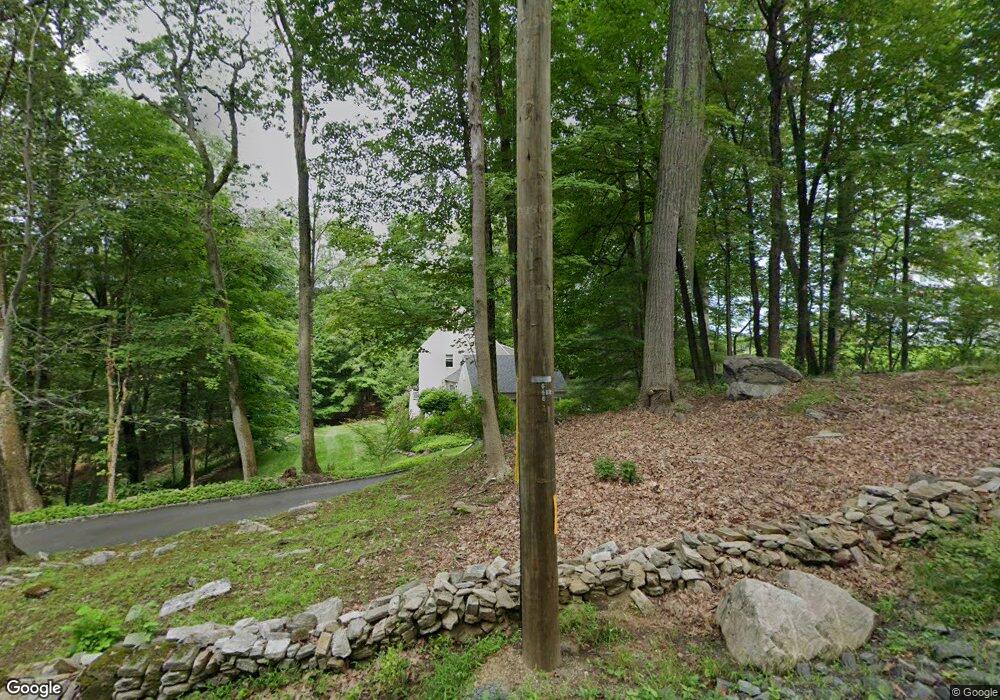
55 Peaceable Ridge Rd Ridgefield, CT 06877
Estimated Value: $1,208,984 - $1,527,000
4
Beds
4
Baths
2,488
Sq Ft
$545/Sq Ft
Est. Value
About This Home
This home is located at 55 Peaceable Ridge Rd, Ridgefield, CT 06877 and is currently estimated at $1,355,496, approximately $544 per square foot. 55 Peaceable Ridge Rd is a home located in Fairfield County with nearby schools including Ridgefield High School, Ridgefield Academy, and St. Mary School.
Ownership History
Date
Name
Owned For
Owner Type
Purchase Details
Closed on
Jul 2, 1998
Sold by
Colwell Brenda C
Bought by
Ruberry Michael C and Ryan-Ruberry Laura
Current Estimated Value
Create a Home Valuation Report for This Property
The Home Valuation Report is an in-depth analysis detailing your home's value as well as a comparison with similar homes in the area
Home Values in the Area
Average Home Value in this Area
Purchase History
| Date | Buyer | Sale Price | Title Company |
|---|---|---|---|
| Ruberry Michael C | $510,000 | -- |
Source: Public Records
Mortgage History
| Date | Status | Borrower | Loan Amount |
|---|---|---|---|
| Open | Ruberry Michael C | $404,500 | |
| Closed | Ruberry Michael C | $41,700 | |
| Closed | Ruberry Michael C | $408,000 | |
| Closed | Ruberry Michael C | $406,000 |
Source: Public Records
Tax History
| Year | Tax Paid | Tax Assessment Tax Assessment Total Assessment is a certain percentage of the fair market value that is determined by local assessors to be the total taxable value of land and additions on the property. | Land | Improvement |
|---|---|---|---|---|
| 2025 | $17,442 | $636,790 | $354,760 | $282,030 |
| 2024 | $16,779 | $636,790 | $354,760 | $282,030 |
| 2023 | $16,436 | $636,790 | $354,760 | $282,030 |
| 2022 | $13,526 | $475,770 | $212,860 | $262,910 |
| 2021 | $13,421 | $475,770 | $212,860 | $262,910 |
| 2020 | $13,379 | $475,770 | $212,860 | $262,910 |
| 2019 | $13,379 | $475,770 | $212,860 | $262,910 |
| 2018 | $13,217 | $475,770 | $212,860 | $262,910 |
| 2017 | $13,360 | $490,980 | $228,160 | $262,820 |
| 2016 | $13,104 | $490,980 | $228,160 | $262,820 |
| 2015 | $12,770 | $490,980 | $228,160 | $262,820 |
| 2014 | $12,770 | $490,980 | $228,160 | $262,820 |
Source: Public Records
Map
Nearby Homes
- 71 Peaceable Ridge Rd
- 159 Barry Ave
- 133 Boway Rd
- 77 Golf Ln
- 33 Truesdale Lake Dr
- 26 Abbott Ave
- 164 Spring St
- 22 Ketcham Rd
- 75A New St
- 75 New St
- 6 Sycamore Ln
- 26 Gilbert St
- 23 Trails End Ln
- 23 Bouton St
- 114 Spring St
- 8 Stebbins Close Unit 8
- 19 Cook Close Unit 19
- 452 Silver Spring Rd
- 88 Green Ln
- 32 Lawson Ln
- 65 Peaceable Ridge Rd
- 164 Peaceable Hill Rd
- 60 Peaceable Ridge Rd
- 37 Peaceable Ridge Rd
- 28 Peaceable Ridge Rd
- 35 Blacksmith Ridge Rd
- 23 Peaceable Ridge Rd
- 20 Peaceable Ridge Rd
- 103 Peaceable Ridge Rd
- 37 Blacksmith Ridge Rd
- 167 Peaceable Hill Rd
- 163 Peaceable Hill Rd
- 36 Blacksmith Ridge Rd
- 34 Blacksmith Ridge Rd
- 132 Peaceable Hill Rd
- 105 Peaceable Ridge Rd
- 179 Peaceable Hill Rd
- 20 Blacksmith Ridge Rd
- 39 Blacksmith Ridge Rd
- 108 Peaceable Ridge Rd
Your Personal Tour Guide
Ask me questions while you tour the home.