55 Pheasant Run Ct Wrentham, MA 02093
Estimated Value: $812,000 - $1,030,000
4
Beds
4
Baths
1,978
Sq Ft
$458/Sq Ft
Est. Value
About This Home
This home is located at 55 Pheasant Run Ct, Wrentham, MA 02093 and is currently estimated at $906,869, approximately $458 per square foot. 55 Pheasant Run Ct is a home with nearby schools including Delaney Elementary School and Charles E Roderick.
Ownership History
Date
Name
Owned For
Owner Type
Purchase Details
Closed on
Oct 11, 2017
Sold by
Eaglebrook Development
Bought by
Panda Ranjit S and Patro Sonakhi K
Current Estimated Value
Home Financials for this Owner
Home Financials are based on the most recent Mortgage that was taken out on this home.
Original Mortgage
$495,900
Outstanding Balance
$412,088
Interest Rate
3.63%
Mortgage Type
New Conventional
Estimated Equity
$494,781
Create a Home Valuation Report for This Property
The Home Valuation Report is an in-depth analysis detailing your home's value as well as a comparison with similar homes in the area
Home Values in the Area
Average Home Value in this Area
Purchase History
| Date | Buyer | Sale Price | Title Company |
|---|---|---|---|
| Panda Ranjit S | $522,000 | -- |
Source: Public Records
Mortgage History
| Date | Status | Borrower | Loan Amount |
|---|---|---|---|
| Open | Panda Ranjit S | $495,900 |
Source: Public Records
Tax History Compared to Growth
Tax History
| Year | Tax Paid | Tax Assessment Tax Assessment Total Assessment is a certain percentage of the fair market value that is determined by local assessors to be the total taxable value of land and additions on the property. | Land | Improvement |
|---|---|---|---|---|
| 2025 | $9,077 | $783,200 | $241,000 | $542,200 |
| 2024 | $8,578 | $714,800 | $241,000 | $473,800 |
| 2023 | $8,371 | $663,300 | $219,100 | $444,200 |
| 2022 | $8,056 | $589,300 | $213,000 | $376,300 |
| 2021 | $7,679 | $545,800 | $199,100 | $346,700 |
| 2020 | $7,631 | $535,500 | $152,000 | $383,500 |
| 2019 | $6,869 | $486,500 | $152,000 | $334,500 |
| 2018 | $974 | $68,400 | $68,400 | $0 |
| 2017 | $477 | $33,500 | $33,500 | $0 |
| 2016 | $466 | $32,600 | $32,600 | $0 |
| 2015 | $521 | $34,800 | $34,800 | $0 |
| 2014 | $513 | $33,500 | $33,500 | $0 |
Source: Public Records
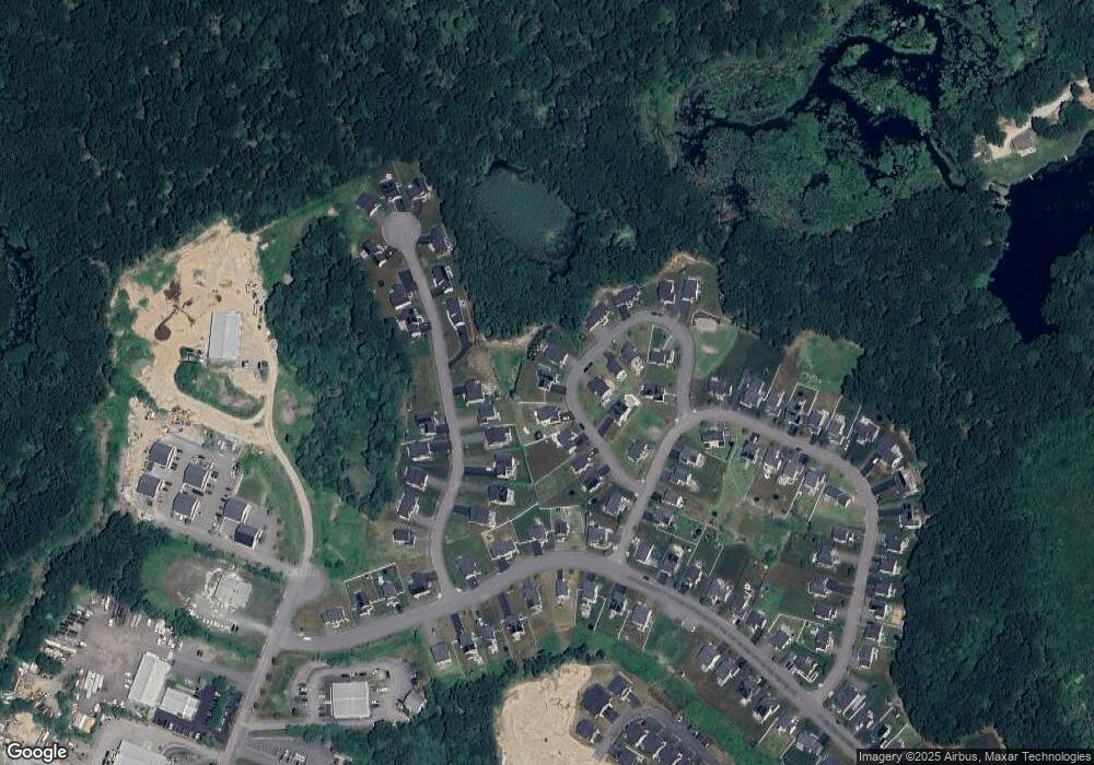
Map
Nearby Homes
- 50 Reed Fulton Ave Unit Lot 61
- 570 Franklin St
- 11 Elliot Mills Unit 11
- 12 Waites Crossing Way
- 45 Joshua Rd
- 11 Waites Crossing
- 20 Waites Crossing
- 19 Waites Crossing
- 9 Waites Crossing
- 13 Waites Crossing
- 131 Creek St Unit 7
- 246 Forest Grove Ave
- 14 Essex St
- 1 Uncas Ave
- 45 King St
- 64 Uncas Ave
- 70 Uncas Ave
- 67 Milliken Ave Unit 22
- 82 Uncas Ave Unit 1
- Lot 3 - 14 Earle Stewart Ln
- 65 Pheasant Run Ct Unit 58
- 70 Killdeer Dr Unit 150
- 45 Pheasant Run Ct
- 60 Killdeer Dr
- 30 Pheasant Run Ct Unit 65
- 50 Killdeer Dr Unit 152
- 35 Pheasant Run Ct
- 80 Killdeer Dr
- 0 Killdeer Dr Unit 143 72443879
- 0 Killdeer Dr Unit 149 72437849
- 0 Killdeer Dr Unit 155
- 20 Pheasant Run Ct
- 40 Killdeer Dr Unit 153
- 0 Pheasant Run Ct Unit 64
- 50 Pheasant Run Ct
- 25 Pheasant Run Ct
- 55 Killdeer Dr Unit 140
- 75 Pheasant Run Ct Unit 59
- 30 Killdeer Dr Unit 154
- 15 Pheasant Run Ct Unit 53