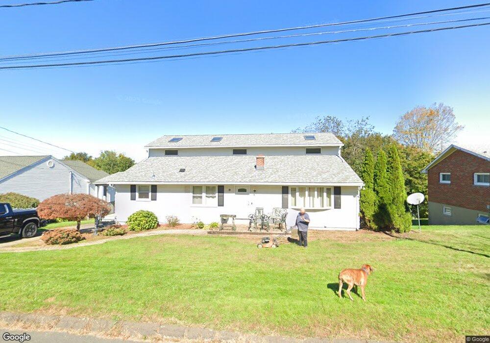
55 Phillips Dr Oakville, CT 06779
Estimated Value: $361,000 - $419,000
3
Beds
3
Baths
2,100
Sq Ft
$187/Sq Ft
Est. Value
About This Home
This home is located at 55 Phillips Dr, Oakville, CT 06779 and is currently estimated at $392,101, approximately $186 per square foot. 55 Phillips Dr is a home located in Litchfield County with nearby schools including John Trumbull Primary School, Swift Middle School, and Watertown High School.
Ownership History
Date
Name
Owned For
Owner Type
Purchase Details
Closed on
Apr 2, 2018
Sold by
Norton Deborah and Capanna Kimberly
Bought by
Norton Andrew
Current Estimated Value
Home Financials for this Owner
Home Financials are based on the most recent Mortgage that was taken out on this home.
Original Mortgage
$152,000
Outstanding Balance
$130,535
Interest Rate
4.38%
Mortgage Type
New Conventional
Estimated Equity
$261,566
Create a Home Valuation Report for This Property
The Home Valuation Report is an in-depth analysis detailing your home's value as well as a comparison with similar homes in the area
Home Values in the Area
Average Home Value in this Area
Purchase History
| Date | Buyer | Sale Price | Title Company |
|---|---|---|---|
| Norton Andrew | $210,000 | -- |
Source: Public Records
Mortgage History
| Date | Status | Borrower | Loan Amount |
|---|---|---|---|
| Open | Norton Andrew | $152,000 | |
| Previous Owner | Norton Andrew | $164,000 |
Source: Public Records
Tax History
| Year | Tax Paid | Tax Assessment Tax Assessment Total Assessment is a certain percentage of the fair market value that is determined by local assessors to be the total taxable value of land and additions on the property. | Land | Improvement |
|---|---|---|---|---|
| 2025 | $6,861 | $228,410 | $38,780 | $189,630 |
| 2024 | $6,480 | $228,410 | $38,780 | $189,630 |
| 2023 | $5,205 | $141,200 | $37,600 | $103,600 |
| 2022 | $4,934 | $141,200 | $37,600 | $103,600 |
| 2021 | $4,880 | $141,200 | $37,600 | $103,600 |
| 2020 | $4,686 | $141,200 | $37,600 | $103,600 |
| 2019 | $4,686 | $141,200 | $37,600 | $103,600 |
| 2018 | $4,807 | $143,100 | $41,300 | $101,800 |
| 2017 | $4,562 | $143,100 | $41,300 | $101,800 |
| 2016 | $4,420 | $143,100 | $41,300 | $101,800 |
| 2015 | $4,307 | $143,100 | $41,300 | $101,800 |
| 2014 | $4,167 | $143,100 | $41,300 | $101,800 |
Source: Public Records
Map
Nearby Homes
- 193 Plainfield Dr
- 124 Plainfield Dr
- 278 Georgetown Dr
- 80 Lancaster St
- 186 Hubbell Ave
- 80 Overlook Ave
- 110 Heritage Dr
- 92 Angel Dr Unit C
- 60 Mason Ave
- 50 Angel Dr Unit D
- 56 Angel Dr Unit C
- 44 ABCD Angel Dr
- 120 Williamson Cir
- 58 Kenmore Ave
- 282 Oakville Ave
- 76 Kenmore Ave
- 41 Sunnybrook Bend
- 218 Oakville Ave Unit C
- 250 Morro St
- 150 Kaynor Dr
- 63 Phillips Dr
- 45 Phillips Dr
- 93 Westview Dr
- 85 Westview Dr
- 39 Phillips Dr
- 99 Westview Dr
- 52 Phillips Dr
- 77 Westview Dr
- 44 Phillips Dr
- 107 Westview Dr
- 69 Phillips Dr
- 71 Westview Dr
- 36 Phillips Dr
- 68 Phillips Dr
- 25 Phillips Dr
- 183 Bunker Hill Rd
- 115 Westview Dr
- 63 Westview Dr
- 30 Phillips Dr
- 102 Westview Dr
Your Personal Tour Guide
Ask me questions while you tour the home.