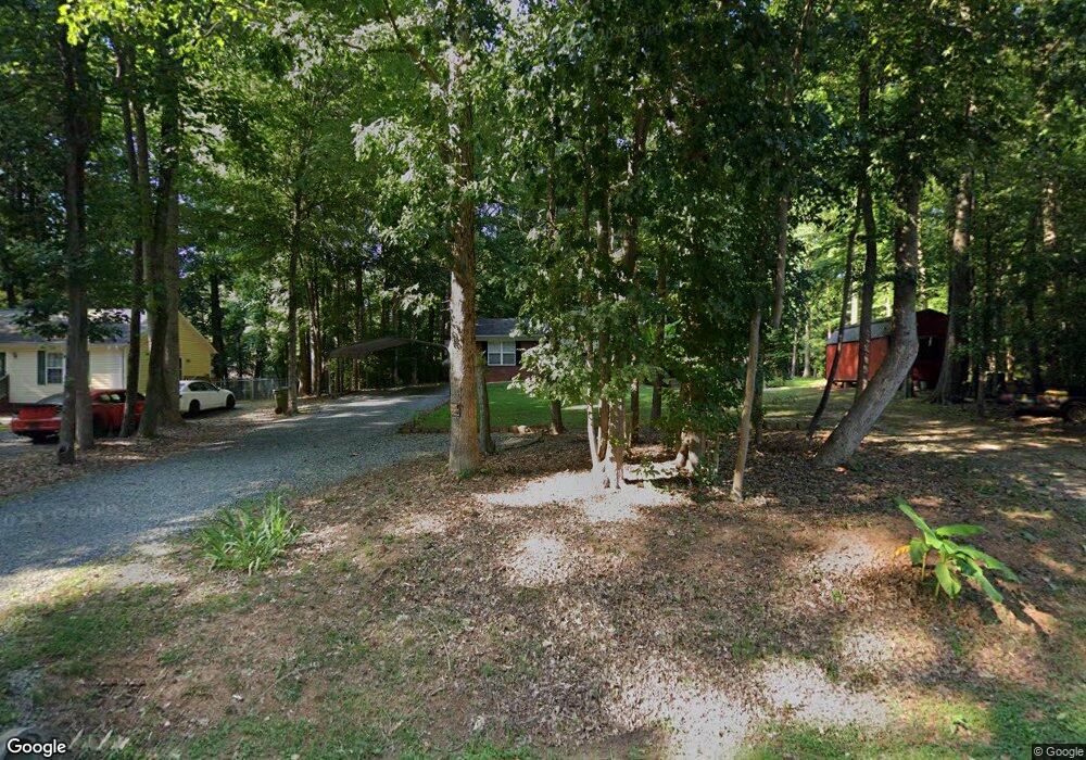
55 Random Dr Lexington, NC 27292
Estimated Value: $213,059 - $287,000
3
Beds
2
Baths
1,954
Sq Ft
$121/Sq Ft
Est. Value
About This Home
This home is located at 55 Random Dr, Lexington, NC 27292 and is currently estimated at $236,765, approximately $121 per square foot. 55 Random Dr is a home located in Davidson County with nearby schools including Davis-Townsend Elementary School, Central Davidson Middle School, and Central Davidson High School.
Ownership History
Date
Name
Owned For
Owner Type
Purchase Details
Closed on
Nov 16, 2020
Sold by
Adams Anthony Paul
Bought by
Adams Anthony Paul and Neang Savang C
Current Estimated Value
Home Financials for this Owner
Home Financials are based on the most recent Mortgage that was taken out on this home.
Original Mortgage
$67,615
Outstanding Balance
$48,839
Interest Rate
2.8%
Mortgage Type
New Conventional
Estimated Equity
$187,926
Purchase Details
Closed on
Aug 30, 2002
Sold by
Leonard Shirley C
Bought by
Adams Anthony Paul
Purchase Details
Closed on
Jul 26, 2001
Sold by
Newsome Benny
Bought by
Leonard Shirley C
Purchase Details
Closed on
Sep 1, 1997
Create a Home Valuation Report for This Property
The Home Valuation Report is an in-depth analysis detailing your home's value as well as a comparison with similar homes in the area
Home Values in the Area
Average Home Value in this Area
Purchase History
| Date | Buyer | Sale Price | Title Company |
|---|---|---|---|
| Adams Anthony Paul | -- | None Available | |
| Adams Anthony Paul | $93,000 | -- | |
| Leonard Shirley C | $13,000 | -- | |
| -- | -- | -- | |
| -- | $21,000 | -- |
Source: Public Records
Mortgage History
| Date | Status | Borrower | Loan Amount |
|---|---|---|---|
| Open | Adams Anthony Paul | $67,615 |
Source: Public Records
Tax History
| Year | Tax Paid | Tax Assessment Tax Assessment Total Assessment is a certain percentage of the fair market value that is determined by local assessors to be the total taxable value of land and additions on the property. | Land | Improvement |
|---|---|---|---|---|
| 2025 | $802 | $121,500 | $0 | $0 |
| 2024 | $766 | $121,500 | $0 | $0 |
| 2023 | $740 | $117,320 | $0 | $0 |
| 2022 | $740 | $117,320 | $0 | $0 |
| 2021 | $740 | $117,320 | $0 | $0 |
| 2020 | $638 | $101,170 | $0 | $0 |
| 2019 | $637 | $101,170 | $0 | $0 |
| 2018 | $637 | $101,170 | $0 | $0 |
| 2017 | $637 | $101,170 | $0 | $0 |
| 2016 | $637 | $101,170 | $0 | $0 |
| 2015 | $617 | $101,170 | $0 | $0 |
| 2014 | $625 | $102,450 | $0 | $0 |
Source: Public Records
Map
Nearby Homes
- 154 Abbotts Ave
- 300 Abbotts Ave
- 311 Balsam Dr
- 203 Druid Hills Dr
- 121 Fox Haven Ct
- 14 Arbor Dr
- 201 Partridge Ln
- 1014 E Center St
- 403 Weaver Dr
- 3 Forest Dr
- 19 Colonial Dr
- 410 Rosewood Dr
- 18 Fairway Dr
- 305 Hilltop Dr
- 915 Fairview Dr
- 1207 W Martin Luther King Junior Blvd
- 11 Kirkwood Ave
- 13290 N Carolina 8
- 5150 N Carolina 8
- 0 Kirkwood Ave
- 43 Random Dr
- 39 Random Dr
- 56 Random Dr
- 37 Random Dr
- 35 Random Dr
- 10 Abbotts Ave
- 11 Abbotts Ave
- 1309 E Center Street Extension
- 1311 E Center Street Extension
- 20 Dellwood Dr
- 40 Random Dr
- 76 Random Dr
- 64 Random Dr
- 10 Dellwood Dr
- 100 Dellwood Dr
- 1313 E Center Street Extension
- 102 Dellwood Dr
- 42 Random Dr
- 106 Dellwood Dr
- 00 Dellwood Dr
Your Personal Tour Guide
Ask me questions while you tour the home.