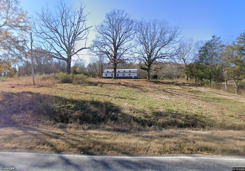
55 Red Rock Rd Tuscumbia, AL 35674
Estimated Value: $104,000
--
Bed
1
Bath
2,880
Sq Ft
$36/Sq Ft
Est. Value
About This Home
This home is located at 55 Red Rock Rd, Tuscumbia, AL 35674 and is currently estimated at $104,000, approximately $36 per square foot. 55 Red Rock Rd is a home located in Colbert County with nearby schools including Cherokee Elementary School and Cherokee High School.
Ownership History
Date
Name
Owned For
Owner Type
Purchase Details
Closed on
Oct 4, 2023
Sold by
Margocs Joseph L V
Bought by
Kevin Aaron
Current Estimated Value
Home Financials for this Owner
Home Financials are based on the most recent Mortgage that was taken out on this home.
Original Mortgage
$70,000
Outstanding Balance
$68,748
Interest Rate
7.62%
Mortgage Type
Construction
Estimated Equity
$35,252
Purchase Details
Closed on
Feb 4, 2021
Sold by
Grissom John A
Bought by
Margocs V Joseph Louis
Purchase Details
Closed on
May 14, 2020
Sold by
Stanley Glenda L
Bought by
Grissom John A
Create a Home Valuation Report for This Property
The Home Valuation Report is an in-depth analysis detailing your home's value as well as a comparison with similar homes in the area
Home Values in the Area
Average Home Value in this Area
Purchase History
| Date | Buyer | Sale Price | Title Company |
|---|---|---|---|
| Kevin Aaron | $80,000 | Attorney Only | |
| Margocs V Joseph Louis | $50,000 | None Available | |
| Grissom John A | $30,000 | None Available |
Source: Public Records
Mortgage History
| Date | Status | Borrower | Loan Amount |
|---|---|---|---|
| Open | Kevin Aaron | $70,000 |
Source: Public Records
Tax History Compared to Growth
Tax History
| Year | Tax Paid | Tax Assessment Tax Assessment Total Assessment is a certain percentage of the fair market value that is determined by local assessors to be the total taxable value of land and additions on the property. | Land | Improvement |
|---|---|---|---|---|
| 2024 | $564 | $9,560 | $3,580 | $5,980 |
| 2023 | $287 | $9,000 | $0 | $0 |
| 2022 | $248 | $8,260 | $0 | $0 |
| 2021 | $132 | $4,400 | $0 | $0 |
| 2020 | $324 | $9,120 | $0 | $0 |
| 2019 | $0 | $9,120 | $0 | $0 |
| 2018 | $0 | $9,120 | $0 | $0 |
| 2017 | $0 | $8,520 | $0 | $0 |
| 2016 | $0 | $8,400 | $0 | $0 |
| 2013 | -- | $0 | $0 | $0 |
Source: Public Records
Map
Nearby Homes
- 0 Posey Loop
- 92 Mountain Unit Road
- 589 Hester Porter Rd
- Tract F Old Memphis Pike
- Tract B Old Memphis Pike
- Tract E Old Memphis Pike
- Tract C Old Memphis Pike
- Tract D Old Memphis Pike
- 000 Church Loop
- 24 Pride Estates Rd
- 25 Pride Estates Rd
- 23 Pride Estates Rd
- 21 Pride Estates Rd
- 22 Pride Estates Rd
- 00 Pilgrim Rd
- 710 Carter Dr
- 20838 Highway 72
- 0 Mulberry Ln
- 425 Cedar Hill Ln
- 163 McGee Way
- 7865 Wagnon Mountain Rd
- 170 Red Rock Rd
- 7745 Wagnon Mountain Rd
- 9610 Highway 247
- 9135 Alabama 247
- 7625 Wagnon Mountain Rd
- 450 Red Rock Rd
- 415 Red Rock Rd
- 7439 Wagnon Mountain Rd
- 685 Rutland Ln
- 785 Rutland Ln
- 730 Rutland Ln
- 755 Red Rock Rd
- 10090 Highway 247
- 652 Garner Ln
- 10170 Highway 247
- 835 Red Rock Rd
- 10255 Highway 247
- 10295 Highway 247
- 995 Red Rock Rd