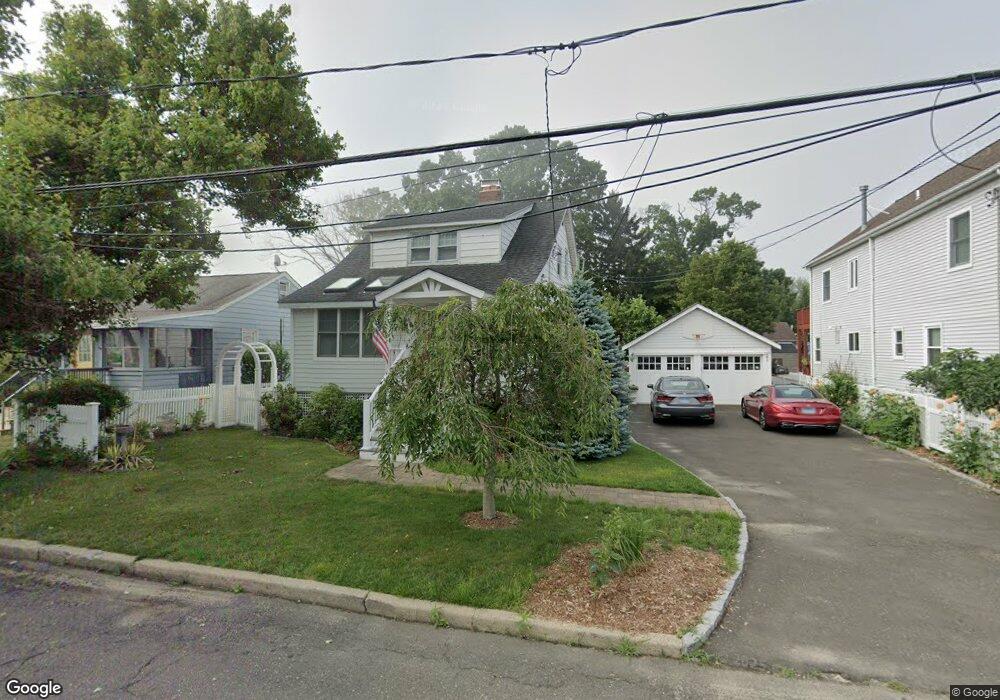
55 Rippowam Rd Stamford, CT 06902
Shippan NeighborhoodEstimated Value: $658,837 - $805,000
2
Beds
2
Baths
1,223
Sq Ft
$598/Sq Ft
Est. Value
About This Home
This home is located at 55 Rippowam Rd, Stamford, CT 06902 and is currently estimated at $731,959, approximately $598 per square foot. 55 Rippowam Rd is a home located in Fairfield County with nearby schools including Toquam Magnet School, Rippowam Middle School, and Stamford High School.
Ownership History
Date
Name
Owned For
Owner Type
Purchase Details
Closed on
Apr 8, 2008
Sold by
Mamdeville Susan and Mamdeville Christopher
Bought by
Allen Jamie E
Current Estimated Value
Home Financials for this Owner
Home Financials are based on the most recent Mortgage that was taken out on this home.
Original Mortgage
$325,000
Interest Rate
6.06%
Mortgage Type
Purchase Money Mortgage
Create a Home Valuation Report for This Property
The Home Valuation Report is an in-depth analysis detailing your home's value as well as a comparison with similar homes in the area
Home Values in the Area
Average Home Value in this Area
Purchase History
| Date | Buyer | Sale Price | Title Company |
|---|---|---|---|
| Allen Jamie E | $425,000 | -- | |
| Allen Jamie E | $425,000 | -- |
Source: Public Records
Mortgage History
| Date | Status | Borrower | Loan Amount |
|---|---|---|---|
| Open | Allen Jamie E | $310,000 | |
| Closed | Allen Jamie E | $325,000 | |
| Previous Owner | Allen Jamie E | $250,000 |
Source: Public Records
Tax History Compared to Growth
Tax History
| Year | Tax Paid | Tax Assessment Tax Assessment Total Assessment is a certain percentage of the fair market value that is determined by local assessors to be the total taxable value of land and additions on the property. | Land | Improvement |
|---|---|---|---|---|
| 2025 | $9,994 | $417,830 | $288,110 | $129,720 |
| 2024 | $9,761 | $417,830 | $288,110 | $129,720 |
| 2023 | $10,546 | $417,830 | $288,110 | $129,720 |
| 2022 | $8,043 | $296,010 | $193,240 | $102,770 |
| 2021 | $7,975 | $296,010 | $193,240 | $102,770 |
| 2020 | $7,800 | $296,010 | $193,240 | $102,770 |
| 2019 | $7,800 | $296,010 | $193,240 | $102,770 |
| 2018 | $7,557 | $296,010 | $193,240 | $102,770 |
| 2017 | $7,630 | $283,760 | $190,860 | $92,900 |
| 2016 | $7,412 | $283,760 | $190,860 | $92,900 |
| 2015 | $7,216 | $283,760 | $190,860 | $92,900 |
| 2014 | $7,034 | $283,760 | $190,860 | $92,900 |
Source: Public Records
Map
Nearby Homes
- 61 Seaview Ave Unit 70
- 61 Seaview Ave Unit 55
- 1073 Shippan Ave
- 22 Ocean Dr N
- 0 Harbor Dr Unit G15 24123371
- 43 Harbor Dr Unit 103
- 79 Harbor Dr Unit 320
- 105 Harbor Dr Unit 106
- 105 Harbor Dr Unit 107
- 105 Harbor Dr Unit 117
- 55 Gurley Rd
- 63 Downs Ave
- 15 Gurley Rd
- 64 Ocean Dr E
- 25 Sagamore Rd
- 56 Stone St
- 196 Frederick St
- 43 Cedar St
- 202 Soundview Ave Unit 50
- 93 Rockledge Dr
- 51 Rippowam Rd
- 59 Rippowam Rd
- 9 Algonquin Ave
- 47 Rippowam Rd
- 10 Ponus Ave
- 14 Ponus Ave
- 11 Algonquin Ave
- 54 Rippowam Rd
- 58 Rippowam Rd
- 52 Rippowam Rd
- 60 Rippowam Rd
- 71 Rippowam Rd
- 48 Rippowam Rd
- 64 Rippowam Rd
- 16 Ponus Ave
- 20 Ponus Ave
- 20 Ponus Ave
- 20 Ponus Ave Unit Front
- 20 Ponus Ave Unit Rear
- 20 Ponus Ave Ave