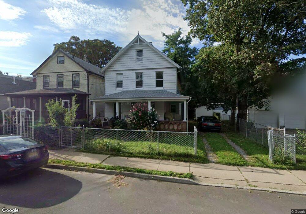
55 River St Red Bank, NJ 07701
Estimated Value: $455,952 - $579,000
3
Beds
1
Bath
1,256
Sq Ft
$408/Sq Ft
Est. Value
About This Home
This home is located at 55 River St, Red Bank, NJ 07701 and is currently estimated at $511,988, approximately $407 per square foot. 55 River St is a home located in Monmouth County with nearby schools including Red Bank Primary School, Red Bank Middle School, and Red Bank Regional High School.
Ownership History
Date
Name
Owned For
Owner Type
Purchase Details
Closed on
May 31, 1995
Sold by
Nedrick Owal
Bought by
Huggins Margaret
Current Estimated Value
Home Financials for this Owner
Home Financials are based on the most recent Mortgage that was taken out on this home.
Original Mortgage
$66,000
Interest Rate
8.21%
Create a Home Valuation Report for This Property
The Home Valuation Report is an in-depth analysis detailing your home's value as well as a comparison with similar homes in the area
Home Values in the Area
Average Home Value in this Area
Purchase History
| Date | Buyer | Sale Price | Title Company |
|---|---|---|---|
| Huggins Margaret | $69,900 | -- |
Source: Public Records
Mortgage History
| Date | Status | Borrower | Loan Amount |
|---|---|---|---|
| Closed | Huggins Margaret | $66,000 |
Source: Public Records
Tax History
| Year | Tax Paid | Tax Assessment Tax Assessment Total Assessment is a certain percentage of the fair market value that is determined by local assessors to be the total taxable value of land and additions on the property. | Land | Improvement |
|---|---|---|---|---|
| 2025 | $6,005 | $338,200 | $164,900 | $173,300 |
| 2024 | $5,985 | $317,900 | $151,500 | $166,400 |
| 2023 | $5,985 | $313,200 | $151,500 | $161,700 |
| 2022 | $5,648 | $295,000 | $140,200 | $154,800 |
| 2021 | $5,648 | $268,300 | $127,400 | $140,900 |
| 2020 | $5,816 | $256,000 | $127,400 | $128,600 |
| 2019 | $5,576 | $252,200 | $127,400 | $124,800 |
| 2018 | $5,413 | $247,500 | $127,400 | $120,100 |
| 2017 | $5,207 | $246,800 | $127,400 | $119,400 |
| 2016 | $5,135 | $243,700 | $127,400 | $116,300 |
| 2015 | $5,884 | $289,400 | $205,300 | $84,100 |
| 2014 | $5,536 | $289,400 | $205,300 | $84,100 |
Source: Public Records
Map
Nearby Homes
- 24 Cedar Crossing
- 171-173 Bridge Ave
- 3 Cedar Crossing
- 298 Shrewsbury Ave
- 195 Drs James Parker Blvd
- 289 S Bridge Ave
- 19 Sunset Ave E
- 44 Drs James Parker Blvd
- 12 E Westside Ave
- 84 Sunset Ave W
- 194 River St
- 44 Drummond Ave
- 11 Clifford Graves Ct
- 24 Irving Place
- 17 Leroy Place Unit 2B
- 17 Leroy Place Unit 1A
- 115 Clinton Place
- 33 Chapin Ave
- 23 Trafford St
- 28 Riverside Ave Unit 4g
- 53 River St
- 51 River St
- 233 Shrewsbury Ave
- 237 Shrewsbury Ave
- 241 Shrewsbury Ave
- 214 S Bridge Ave
- 218 S Bridge Ave Unit 220
- 226 S Bridge Ave
- 226 S Bridge Ave Unit C
- 228 S Bridge Ave
- 263 Shrewsbury Ave
- 224 S Bridge Ave Unit B
- 222 S Bridge Ave Unit 1
- 222 S Bridge Ave
- 222 S Bridge Ave Unit A
- 247 Shrewsbury Ave
- 49 Catherine St
- 232 S Bridge Ave
- 249 Shrewsbury Ave
- 226 Shrewsbury Ave Unit 1
Your Personal Tour Guide
Ask me questions while you tour the home.