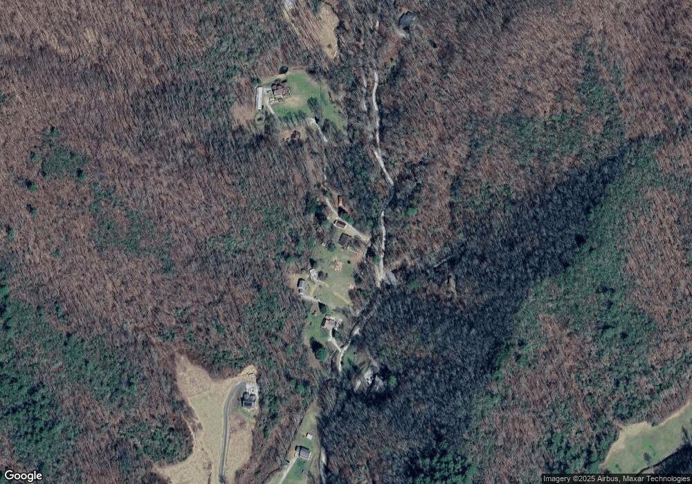
55 Rock Ford Rd Robbinsville, NC 28771
Estimated Value: $329,000 - $404,000
4
Beds
2
Baths
1,536
Sq Ft
$231/Sq Ft
Est. Value
About This Home
This home is located at 55 Rock Ford Rd, Robbinsville, NC 28771 and is currently estimated at $354,846, approximately $231 per square foot. 55 Rock Ford Rd is a home located in Graham County with nearby schools including Robbinsville High School, Robbinsville Elementary School, and Robbinsville Middle School.
Ownership History
Date
Name
Owned For
Owner Type
Purchase Details
Closed on
Dec 9, 2022
Sold by
Phillips Joshua and Phillips Layce W
Bought by
Cripe Trey A and Cripe Shaunia L
Current Estimated Value
Purchase Details
Closed on
Dec 1, 2014
Sold by
Haber Carl H and Haber Mary S
Bought by
Phillips Joshua and Phillips Layce W
Home Financials for this Owner
Home Financials are based on the most recent Mortgage that was taken out on this home.
Original Mortgage
$142,000
Interest Rate
4.5%
Mortgage Type
Adjustable Rate Mortgage/ARM
Create a Home Valuation Report for This Property
The Home Valuation Report is an in-depth analysis detailing your home's value as well as a comparison with similar homes in the area
Home Values in the Area
Average Home Value in this Area
Purchase History
| Date | Buyer | Sale Price | Title Company |
|---|---|---|---|
| Cripe Trey A | $280,000 | -- | |
| Phillips Joshua | $142,000 | None Available |
Source: Public Records
Mortgage History
| Date | Status | Borrower | Loan Amount |
|---|---|---|---|
| Previous Owner | Phillips Joshua | $142,000 |
Source: Public Records
Tax History Compared to Growth
Tax History
| Year | Tax Paid | Tax Assessment Tax Assessment Total Assessment is a certain percentage of the fair market value that is determined by local assessors to be the total taxable value of land and additions on the property. | Land | Improvement |
|---|---|---|---|---|
| 2025 | $1,621 | $274,780 | $61,610 | $213,170 |
| 2024 | $1,621 | $274,780 | $61,610 | $213,170 |
| 2023 | $1,621 | $274,780 | $61,610 | $213,170 |
| 2022 | $892 | $137,260 | $47,860 | $89,400 |
| 2021 | $892 | $137,260 | $47,860 | $89,400 |
| 2020 | $892 | $137,260 | $47,860 | $89,400 |
| 2019 | $892 | $137,260 | $47,860 | $89,400 |
| 2018 | $835 | $142,690 | $44,230 | $98,460 |
| 2017 | $833 | $142,370 | $0 | $0 |
| 2016 | $833 | $142,370 | $0 | $0 |
| 2015 | $83,286 | $142,370 | $0 | $0 |
| 2013 | -- | $126,270 | $0 | $0 |
Source: Public Records
Map
Nearby Homes
- 652 Shepherds Creek Rd
- 3975 Mountain Creek Rd
- 1620 E Buffalo Rd
- 0 Legacy Ln
- 846 Legacy Ln
- Lot 0 Sr1221 Pinhook
- SR 1218 Pin Hook Rd
- 1281 Lower Mountain Creek Rd
- 0 Slaybacon Rd
- 34 Shane Laughter Rd
- 00 Willow Ln
- 70 Harley Hill Rd
- 0 E Buffalo Rd Unit 150194
- 1-3 Santeetlah Heights
- 00 Peterson Rd
- 241 Hill Rd
- 00 Carpenter Hollow
- 00 Lakeside Trail
- 00 Santeetlah Heights
- 68 Mountain Dr
- 55 Rockford Rd
- 652 Shepherd's Creek Rd
- 188 Rock Ford Rd
- 802 Shepherds Creek Rd
- 3827 Mountain Creek Rd
- 3899 Mountain Creek Rd
- 4002 Mountain Creek Rd
- 4128 Mountain Creek Rd
- 500 Holloway Rd
- 492 Holloway Rd
- 4391 Mountain Creek Rd
- 4010 Mountain Creek Rd
- 218 Mountain Creek Rd
- Land Mountain Creek Rd
- 000 Mountain Creek Rd
- 00 Mountain Creek Rd
- SR 1257 Mountain Creek Rd
- SR 1214 Mountain Creek Rd
- 0 Mountain Creek Rd
- 156 Green Creek Rd
