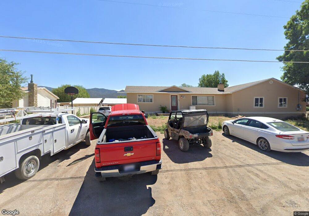
55 S 200 E Scipio, UT 84656
Estimated Value: $299,333 - $370,000
Studio
--
Bath
--
Sq Ft
35,284
Sq Ft Lot
About This Home
This home is located at 55 S 200 E, Scipio, UT 84656 and is currently estimated at $328,583. 55 S 200 E is a home.
Ownership History
Date
Name
Owned For
Owner Type
Purchase Details
Closed on
Jan 19, 2018
Sold by
Noland Kenneth W
Bought by
Noland Kenneth W and Noland Family Trust
Current Estimated Value
Purchase Details
Closed on
Apr 16, 2014
Sold by
Judy P Judy P and Noland Kenneth W
Bought by
Noland Judy P and Noland Kenneth W
Home Financials for this Owner
Home Financials are based on the most recent Mortgage that was taken out on this home.
Original Mortgage
$50,000
Interest Rate
4.32%
Mortgage Type
New Conventional
Create a Home Valuation Report for This Property
The Home Valuation Report is an in-depth analysis detailing your home's value as well as a comparison with similar homes in the area
Purchase History
| Date | Buyer | Sale Price | Title Company |
|---|---|---|---|
| Noland Kenneth W | -- | -- | |
| Noland Judy P | -- | First American Title |
Source: Public Records
Mortgage History
| Date | Status | Borrower | Loan Amount |
|---|---|---|---|
| Previous Owner | Noland Judy P | $50,000 |
Source: Public Records
Tax History
| Year | Tax Paid | Tax Assessment Tax Assessment Total Assessment is a certain percentage of the fair market value that is determined by local assessors to be the total taxable value of land and additions on the property. | Land | Improvement |
|---|---|---|---|---|
| 2025 | $1,264 | $161,256 | $25,871 | $135,385 |
| 2024 | $1,264 | $149,166 | $20,749 | $128,417 |
| 2023 | $1,373 | $149,166 | $20,749 | $128,417 |
| 2022 | $1,135 | $104,161 | $20,749 | $83,412 |
| 2021 | $997 | $87,750 | $15,370 | $72,380 |
| 2020 | $892 | $79,086 | $13,365 | $65,721 |
| 2019 | $840 | $74,743 | $13,365 | $61,378 |
| 2018 | $783 | $71,269 | $13,365 | $57,904 |
| 2017 | $689 | $60,038 | $13,365 | $46,673 |
| 2016 | $538 | $48,696 | $11,527 | $37,169 |
| 2015 | $538 | $48,696 | $11,527 | $37,169 |
| 2014 | -- | $47,193 | $10,024 | $37,169 |
| 2013 | -- | $47,193 | $10,024 | $37,169 |
Source: Public Records
Map
Nearby Homes
- 40 S State St
- 85 E 200 Rd N
- 7 N 200 W
- 240 W 300 North Rd
- 2000 N 500 W
- 13051 Red Canyon Rd Unit 3
- Mecham Rd
- 445 S Main St
- 405 S 100 East St Unit 4
- 400 S 100 East St Unit 5
- 66 W 100 S
- Parcel 4609 4609x1 4609x2
- 41 N 450 W
- 117 E 300 S
- 36 W 100 S
- 21 N 450 W
- 80 N 400 W
- 340 E 300 S
- 155 S 200 W
- 575 N Deer Meadow Dr
Your Personal Tour Guide
Ask me questions while you tour the home.