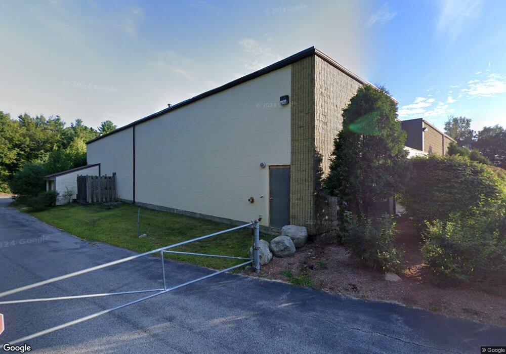
55 Sharp St Hingham, MA 02043
South Hingham NeighborhoodEstimated Value: $5,726,823
--
Bed
--
Bath
--
Sq Ft
5.81
Acres
About This Home
This home is located at 55 Sharp St, Hingham, MA 02043 and is currently estimated at $5,726,823. 55 Sharp St is a home located in Plymouth County with nearby schools including South Elementary School, Hingham Middle School, and Hingham High School.
Ownership History
Date
Name
Owned For
Owner Type
Purchase Details
Closed on
Dec 17, 2021
Sold by
Bd Sharp Street Lp
Bought by
55-65 Sharp St Llc
Current Estimated Value
Home Financials for this Owner
Home Financials are based on the most recent Mortgage that was taken out on this home.
Original Mortgage
$3,487,500
Outstanding Balance
$3,206,725
Interest Rate
3.09%
Mortgage Type
Purchase Money Mortgage
Estimated Equity
$2,520,098
Purchase Details
Closed on
Jul 16, 2014
Sold by
Lansdowne Partners Lp
Bought by
Bd Sharp Street Lp
Home Financials for this Owner
Home Financials are based on the most recent Mortgage that was taken out on this home.
Original Mortgage
$2,700,000
Interest Rate
4.14%
Mortgage Type
Commercial
Purchase Details
Closed on
Apr 26, 2007
Sold by
Piab Realty Llc
Bought by
Lansdowne Partners Lp
Purchase Details
Closed on
Jan 30, 1997
Sold by
Est Sprague James C and Sprague Marcia M
Bought by
Sprague Marcia M
Home Financials for this Owner
Home Financials are based on the most recent Mortgage that was taken out on this home.
Original Mortgage
$350,000
Interest Rate
7.65%
Mortgage Type
Commercial
Create a Home Valuation Report for This Property
The Home Valuation Report is an in-depth analysis detailing your home's value as well as a comparison with similar homes in the area
Home Values in the Area
Average Home Value in this Area
Purchase History
| Date | Buyer | Sale Price | Title Company |
|---|---|---|---|
| 55-65 Sharp St Llc | $4,650,000 | None Available | |
| Bd Sharp Street Lp | $4,025,000 | -- | |
| Lansdowne Partners Lp | $3,909,500 | -- | |
| Sprague Marcia M | $33,500 | -- |
Source: Public Records
Mortgage History
| Date | Status | Borrower | Loan Amount |
|---|---|---|---|
| Open | 55-65 Sharp St Llc | $3,487,500 | |
| Previous Owner | Bd Sharp Street Lp | $2,700,000 | |
| Previous Owner | Sprague Marcia M | $350,000 |
Source: Public Records
Tax History Compared to Growth
Tax History
| Year | Tax Paid | Tax Assessment Tax Assessment Total Assessment is a certain percentage of the fair market value that is determined by local assessors to be the total taxable value of land and additions on the property. | Land | Improvement |
|---|---|---|---|---|
| 2025 | $48,374 | $4,525,200 | $1,231,300 | $3,293,900 |
| 2024 | $49,098 | $4,525,200 | $1,231,300 | $3,293,900 |
| 2023 | $45,252 | $4,525,200 | $1,231,300 | $3,293,900 |
| 2022 | $34,205 | $2,958,900 | $841,800 | $2,117,100 |
| 2021 | $35,371 | $2,997,500 | $799,300 | $2,198,200 |
| 2020 | $31,401 | $2,723,400 | $799,300 | $1,924,100 |
| 2019 | $32,163 | $2,723,400 | $799,300 | $1,924,100 |
| 2018 | $32,054 | $2,723,400 | $799,300 | $1,924,100 |
| 2017 | $32,527 | $2,655,300 | $790,500 | $1,864,800 |
| 2016 | $31,502 | $2,522,200 | $752,800 | $1,769,400 |
| 2015 | $31,603 | $2,522,200 | $752,800 | $1,769,400 |
Source: Public Records
Map
Nearby Homes
- 18 Ben Hogan Landing Unit 18
- 47 Forest St
- 26 Leahaven Rd
- 17 Buchanan Ln
- 17 Sears Rd
- 18 Midfield Dr
- 45 Cherry Ln
- 775 Union St
- 5 Hobart Ln Unit 5
- 35-37 Salem St
- 737-739 Union St
- 55 Turner Rd
- 141 Deerfield Ln
- 261 Gardner St
- 82 Snowbird Ave
- 83 Summit St
- 7 Blair Green
- 94 Leisurewoods Dr
- 11 White St
- 54 Parkview St
- 9 Sharp St
- 26 Sharp St
- 70 Sharp St
- 80 Sharp St
- 72 Sharp St
- 72 Sharp St Unit A-8
- 72 Sharp St Unit C-14
- 72 Sharp St Unit C-5B
- 72 Sharp St Unit C-9/C-12
- 72 Sharp St Unit C-12
- 72 Sharp St Unit A-6
- 72 Sharp St Unit C9
- 72 Sharp St Unit C10
- 72 Sharp St Unit 9
- 65 Sharp St
- 302 Weymouth St
- 0 Dennis Rd Unit 2 71019998
- 0 Dennis Rd Unit 3 71019999
- 0 Dennis Rd Unit 4 71033517
- 0 Dennis Rd Unit 72969359