Estimated Value: $336,000 - $460,000
3
Beds
4
Baths
2,052
Sq Ft
$193/Sq Ft
Est. Value
About This Home
This home is located at 55 Smith Wesson Way, Silex, MO 63377 and is currently estimated at $395,271, approximately $192 per square foot. 55 Smith Wesson Way is a home located in Lincoln County with nearby schools including Clopton Elementary School, Pike/Lincoln Technical Center, and Clopton High School.
Ownership History
Date
Name
Owned For
Owner Type
Purchase Details
Closed on
Jun 15, 2011
Sold by
Secretary Of Hud
Bought by
Pederson Larry P
Current Estimated Value
Purchase Details
Closed on
Jan 25, 2011
Sold by
Zumwalt Orville M and Zumwalt Diana L
Bought by
First Bank and First Bank Mortgage
Create a Home Valuation Report for This Property
The Home Valuation Report is an in-depth analysis detailing your home's value as well as a comparison with similar homes in the area
Purchase History
| Date | Buyer | Sale Price | Title Company |
|---|---|---|---|
| Pederson Larry P | -- | None Available | |
| First Bank | $201,941 | None Available |
Source: Public Records
Tax History
| Year | Tax Paid | Tax Assessment Tax Assessment Total Assessment is a certain percentage of the fair market value that is determined by local assessors to be the total taxable value of land and additions on the property. | Land | Improvement |
|---|---|---|---|---|
| 2025 | $2,161 | $37,033 | $3,857 | $33,176 |
| 2024 | $2,035 | $33,959 | $3,610 | $30,349 |
| 2023 | $2,030 | $33,959 | $3,610 | $30,349 |
| 2022 | $1,922 | $32,334 | $3,610 | $28,724 |
| 2021 | $1,932 | $170,180 | $0 | $0 |
| 2020 | $1,721 | $150,710 | $0 | $0 |
| 2019 | $1,723 | $150,710 | $0 | $0 |
| 2018 | $1,723 | $28,274 | $0 | $0 |
| 2017 | $1,728 | $28,274 | $0 | $0 |
| 2016 | $1,421 | $22,878 | $0 | $0 |
| 2015 | $1,448 | $22,878 | $0 | $0 |
| 2014 | $1,204 | $18,970 | $0 | $0 |
| 2013 | -- | $18,970 | $0 | $0 |
Source: Public Records
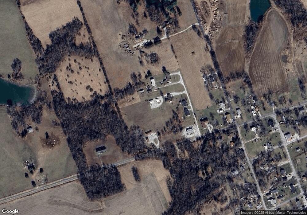
Map
Nearby Homes
- 581 Highway Z
- 70 Whiteside Estates Dr
- 11 Andrew Ct
- 31 Whiteside Estates Dr
- 144 Highway F
- 335 Timberline Ct Lot 6
- 323 Timberline Ct Lot 8
- 329 Timberline Ct Lot 7
- 330 Timberline Ct Lot 5
- 317 Timberline Ct Lot 9
- 324 Timberline Ct Lot 4
- 318 Timberline Ct Lot 3
- 305 Timberline Ct Lot 11
- 312 Timberline Ct Lot 2
- 306 Timberline Ct Lot 1
- 108 Tick Rd Lot 2
- 310 Morgan Meadows Ln
- 104 Tickridge Rd
- 51 Fox Hollow Ln
- 207 Golden Ct
- 39 Smith Wesson Way
- 23 Smith Wesson Way
- 61 Smith Wesson Way
- 549 Highway Z
- 523 Highway Z
- 31 Colbert
- 503 Highway Z
- 98 Smith Wesson Way
- 19 Colbert Ln
- 10 Colbert Ln
- 503 Highway Z
- 107 Cherry St
- 111 Cherry St
- 487 Highway Z
- 103 Colbert Ln
- 492 Highway Z
- 201 Cherry St
- 101 Prairie St
- 104 Prairie St
- 120 Prairie St
Your Personal Tour Guide
Ask me questions while you tour the home.