55 Smoke Rd Valparaiso, IN 46385
Porter County NeighborhoodEstimated Value: $380,000 - $438,672
3
Beds
4
Baths
2,506
Sq Ft
$166/Sq Ft
Est. Value
About This Home
This home is located at 55 Smoke Rd, Valparaiso, IN 46385 and is currently estimated at $415,668, approximately $165 per square foot. 55 Smoke Rd is a home located in Porter County with nearby schools including Morgan Township Elementary School and Morgan Township Middle/High School.
Ownership History
Date
Name
Owned For
Owner Type
Purchase Details
Closed on
Jun 7, 2017
Sold by
Carlock Susan and Coris Jeanine
Bought by
Kinne Troy D and Kinne Lauren N
Current Estimated Value
Home Financials for this Owner
Home Financials are based on the most recent Mortgage that was taken out on this home.
Original Mortgage
$168,000
Interest Rate
3.92%
Mortgage Type
New Conventional
Purchase Details
Closed on
Nov 17, 2016
Sold by
Sadkowski Eugene and Zienciak Gregory A
Bought by
Sadkowski Eugene
Create a Home Valuation Report for This Property
The Home Valuation Report is an in-depth analysis detailing your home's value as well as a comparison with similar homes in the area
Home Values in the Area
Average Home Value in this Area
Purchase History
| Date | Buyer | Sale Price | Title Company |
|---|---|---|---|
| Kinne Troy D | -- | Chicago Title Insurance Co | |
| Kinne Troy D | -- | Chicago Title Insurance Co | |
| Sadkowski Eugene | -- | None Available |
Source: Public Records
Mortgage History
| Date | Status | Borrower | Loan Amount |
|---|---|---|---|
| Previous Owner | Kinne Troy D | $168,000 |
Source: Public Records
Tax History Compared to Growth
Tax History
| Year | Tax Paid | Tax Assessment Tax Assessment Total Assessment is a certain percentage of the fair market value that is determined by local assessors to be the total taxable value of land and additions on the property. | Land | Improvement |
|---|---|---|---|---|
| 2024 | $2,794 | $410,700 | $83,000 | $327,700 |
| 2023 | $2,700 | $364,200 | $73,200 | $291,000 |
| 2022 | $2,560 | $330,200 | $73,200 | $257,000 |
| 2021 | $2,509 | $296,100 | $73,200 | $222,900 |
| 2020 | $2,258 | $271,100 | $63,500 | $207,600 |
| 2019 | $2,178 | $253,100 | $63,500 | $189,600 |
| 2018 | $2,046 | $242,400 | $63,500 | $178,900 |
| 2017 | $1,906 | $228,200 | $63,500 | $164,700 |
| 2016 | $3,241 | $216,500 | $65,000 | $151,500 |
| 2014 | $3,313 | $203,500 | $62,800 | $140,700 |
| 2013 | -- | $194,500 | $63,500 | $131,000 |
Source: Public Records
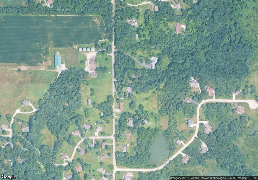
Map
Nearby Homes
- 0 Smoke Rd
- 48 E Division Rd
- 501 Eagle Ct
- 3152 Heavilin Rd
- 3359 Blue Jay Dr
- 2655 Vivante Dr
- 2054 Lawndale Dr
- 2658 Arran Quay Terrace
- 1954 Lawndale Dr
- 3251 Mockingbird Ln
- 3353 Field Hawk Dr
- 1556 Smoke Rd
- 1284 Rowley St
- 2551 Saint Road 2
- 1465 Clark Rd
- 183 Cimarron Dr
- 1952 Galena Ct
- 1659 Tippecanoe Ct
- 197 Appaloosa Ln
- 16 S 200 W