55 Spaulding Rd Collinsville, CT 06019
Estimated Value: $539,000 - $1,107,000
4
Beds
3
Baths
2,692
Sq Ft
$275/Sq Ft
Est. Value
About This Home
This home is located at 55 Spaulding Rd, Collinsville, CT 06019 and is currently estimated at $740,093, approximately $274 per square foot. 55 Spaulding Rd is a home located in Hartford County with nearby schools including Cherry Brook Primary School, Canton Intermediate School, and Canton Middle School.
Ownership History
Date
Name
Owned For
Owner Type
Purchase Details
Closed on
Nov 29, 1999
Sold by
Mccormick Jennifer
Bought by
Worley Jeffrey B and Worley Karen E
Current Estimated Value
Purchase Details
Closed on
Jan 12, 1994
Sold by
Spaulding Frances
Bought by
Mccormick Jennifer
Create a Home Valuation Report for This Property
The Home Valuation Report is an in-depth analysis detailing your home's value as well as a comparison with similar homes in the area
Home Values in the Area
Average Home Value in this Area
Purchase History
| Date | Buyer | Sale Price | Title Company |
|---|---|---|---|
| Worley Jeffrey B | $405,000 | -- | |
| Worley Jeffrey B | $405,000 | -- | |
| Mccormick Jennifer | $159,000 | -- | |
| Mccormick Jennifer | $159,000 | -- |
Source: Public Records
Mortgage History
| Date | Status | Borrower | Loan Amount |
|---|---|---|---|
| Open | Mccormick Jennifer | $490,000 | |
| Closed | Mccormick Jennifer | $355,000 |
Source: Public Records
Tax History
| Year | Tax Paid | Tax Assessment Tax Assessment Total Assessment is a certain percentage of the fair market value that is determined by local assessors to be the total taxable value of land and additions on the property. | Land | Improvement |
|---|---|---|---|---|
| 2025 | $12,349 | $368,620 | $103,660 | $264,960 |
| 2024 | $12,588 | $368,620 | $103,660 | $264,960 |
| 2023 | $8,852 | $250,260 | $77,410 | $172,850 |
| 2022 | $8,431 | $250,260 | $77,410 | $172,850 |
| 2021 | $8,314 | $250,260 | $77,410 | $172,850 |
| 2020 | $8,156 | $250,260 | $77,410 | $172,850 |
| 2019 | $8,016 | $250,260 | $77,410 | $172,850 |
| 2018 | $8,760 | $285,330 | $82,350 | $202,980 |
| 2017 | $8,700 | $285,330 | $82,350 | $202,980 |
| 2016 | $8,491 | $285,330 | $82,350 | $202,980 |
| 2015 | $8,329 | $285,330 | $82,350 | $202,980 |
| 2014 | $8,149 | $285,340 | $82,360 | $202,980 |
Source: Public Records
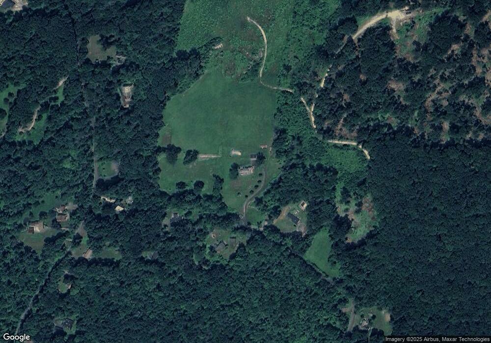
Map
Nearby Homes
- 10 Shingle Mill Dr
- 220 Main St Unit 2J
- 220 Main St Unit 6G
- 308 Cherry Brook Rd
- 14 Brookview Cir
- 11 Timbercrest Dr
- 22 Bel Aire Ln
- 152 E Hill Rd
- 70 E Hill Rd
- 433 Main St
- 13 Meadow St
- 15 Red Fox Run
- 706 Timber Ln Unit 706
- 116 Holcomb Hill Rd
- 33 Westwood Dr
- 121 Gracey Rd
- 7 Church St N
- 57 Henderson Rd
- 34 Rocklyn Dr
- 52 Shingle Mill Rd
- 49 Spaulding Rd
- 58 Spaulding Rd
- 63 Spaulding Rd
- 125 Indian Hill Rd
- 131 Indian Hill Rd
- 131 Indian Hill Rd
- 139 Indian Hill Rd
- 68 Spaulding Rd
- 121 Indian Hill Rd
- 147 Indian Hill Rd
- 31 Spaulding Rd
- 120 Indian Hill Rd
- 155 Indian Hill Rd
- 115 Indian Hill Rd
- 115 Indian Hill Rd Unit RD
- 21 Spaulding Rd
- 105 Indian Hill Rd
- 5 Cedaridge Rd
- 14 Spaulding Rd
- 7 Cedaridge Rd
Your Personal Tour Guide
Ask me questions while you tour the home.