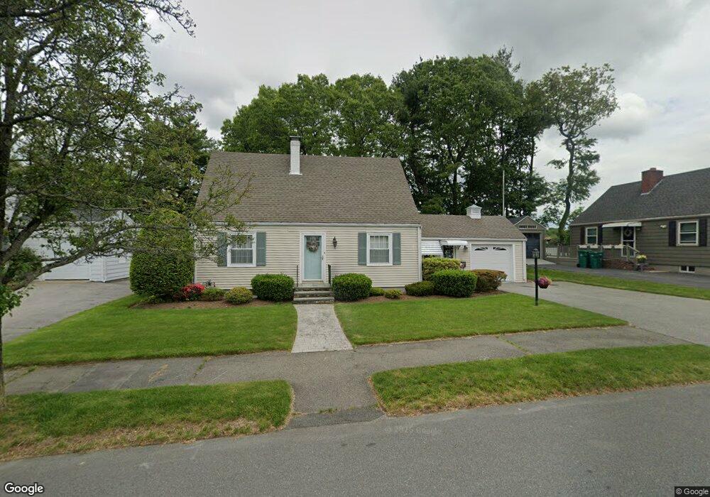
55 Standish Rd Lynn, MA 01904
Lynn Woods NeighborhoodEstimated Value: $534,000 - $763,000
3
Beds
3
Baths
1,764
Sq Ft
$363/Sq Ft
Est. Value
About This Home
This home is located at 55 Standish Rd, Lynn, MA 01904 and is currently estimated at $640,510, approximately $363 per square foot. 55 Standish Rd is a home located in Essex County with nearby schools including Capt. William G. Shoemaker Elementary School, William R. Fallon School, and Pickering Middle School.
Ownership History
Date
Name
Owned For
Owner Type
Purchase Details
Closed on
Sep 11, 2012
Sold by
Morissette Wendy
Bought by
Rauseo Donna S
Current Estimated Value
Purchase Details
Closed on
Aug 3, 2006
Sold by
Medur Donna Sisson
Bought by
Medur Donna Sisson
Purchase Details
Closed on
Jun 30, 2006
Sold by
Sisson Bernaline E
Bought by
Medur Donna Sisson
Create a Home Valuation Report for This Property
The Home Valuation Report is an in-depth analysis detailing your home's value as well as a comparison with similar homes in the area
Home Values in the Area
Average Home Value in this Area
Purchase History
| Date | Buyer | Sale Price | Title Company |
|---|---|---|---|
| Rauseo Donna S | -- | -- | |
| Medur Donna Sisson | -- | -- | |
| Medur Donna Sisson | -- | -- |
Source: Public Records
Mortgage History
| Date | Status | Borrower | Loan Amount |
|---|---|---|---|
| Previous Owner | Medur Donna Sisson | $100,000 |
Source: Public Records
Tax History
| Year | Tax Paid | Tax Assessment Tax Assessment Total Assessment is a certain percentage of the fair market value that is determined by local assessors to be the total taxable value of land and additions on the property. | Land | Improvement |
|---|---|---|---|---|
| 2025 | $6,024 | $581,500 | $191,100 | $390,400 |
| 2024 | $5,717 | $542,900 | $183,200 | $359,700 |
| 2023 | $5,801 | $520,300 | $204,000 | $316,300 |
| 2022 | $5,475 | $440,500 | $147,800 | $292,700 |
| 2021 | $5,142 | $394,600 | $142,400 | $252,200 |
| 2020 | $4,987 | $372,200 | $134,400 | $237,800 |
| 2019 | $4,853 | $339,400 | $113,200 | $226,200 |
| 2018 | $5,007 | $330,500 | $136,100 | $194,400 |
| 2017 | $4,769 | $305,700 | $127,000 | $178,700 |
| 2016 | $4,632 | $286,300 | $118,200 | $168,100 |
| 2015 | $4,445 | $265,400 | $117,000 | $148,400 |
Source: Public Records
Map
Nearby Homes
- 13 Ralph Rd
- 12 Mansfield St
- 233 Bartholomew St
- 60r Lynnbrook Rd
- 115 Quinn Rd
- 325 Den Quarry Rd
- 151 Dartmouth St
- 26 Joel Cir
- 217 Cedar Brook Rd
- 1200 Salem St Unit 168
- 1200 Salem St Unit 151
- 54 Harris Rd
- 2 Anchor Rd
- 37 Locust St
- 11 Pulver Dr
- 34 Boulderbrook Dr
- 4 Pulver Dr
- 21 Oak Leaf Way
- 333 Lynnfield St
- 75 Park Rd
- 49 Standish Rd
- 59 Standish Rd
- 736 Lynnfield St
- 45 Standish Rd
- 732 Lynnfield St
- 60 Standish Rd
- 728 Lynnfield St
- 62 Standish Rd
- 7 Crooker Dr
- 37 Standish Rd
- 724 Lynnfield St
- 46 Standish Rd
- 68 Standish Rd
- 71 Standish Rd
- 720 Lynnfield St
- 725 Lynnfield St
- 74 Standish Rd
- 55 Stonewood Ln
- 57 Cumberland Cir
- 723 Lynnfield St
Your Personal Tour Guide
Ask me questions while you tour the home.