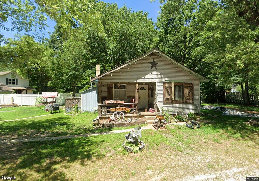
55 State Route T Newburg, MO 65550
Estimated Value: $73,000 - $131,000
--
Bed
--
Bath
1,152
Sq Ft
$77/Sq Ft
Est. Value
About This Home
This home is located at 55 State Route T, Newburg, MO 65550 and is currently estimated at $88,748, approximately $77 per square foot. 55 State Route T is a home with nearby schools including Newburg Elementary School and Newburg High School.
Ownership History
Date
Name
Owned For
Owner Type
Purchase Details
Closed on
Oct 2, 2013
Current Estimated Value
Purchase Details
Closed on
Aug 30, 2013
Purchase Details
Closed on
Feb 23, 2010
Purchase Details
Closed on
Jan 10, 2006
Purchase Details
Closed on
Dec 12, 2005
Purchase Details
Closed on
Nov 17, 2000
Purchase Details
Closed on
Sep 18, 1990
Purchase Details
Closed on
Oct 27, 1988
Purchase Details
Closed on
Oct 6, 1975
Create a Home Valuation Report for This Property
The Home Valuation Report is an in-depth analysis detailing your home's value as well as a comparison with similar homes in the area
Home Values in the Area
Average Home Value in this Area
Purchase History
| Date | Buyer | Sale Price | Title Company |
|---|---|---|---|
| -- | -- | -- | |
| -- | -- | -- | |
| -- | -- | -- | |
| -- | -- | -- | |
| -- | -- | -- | |
| -- | -- | -- | |
| -- | -- | -- | |
| -- | -- | -- | |
| -- | -- | -- |
Source: Public Records
Tax History Compared to Growth
Tax History
| Year | Tax Paid | Tax Assessment Tax Assessment Total Assessment is a certain percentage of the fair market value that is determined by local assessors to be the total taxable value of land and additions on the property. | Land | Improvement |
|---|---|---|---|---|
| 2025 | $453 | $7,780 | $2,470 | $5,310 |
| 2024 | $291 | $4,750 | $20 | $4,730 |
| 2023 | $262 | $4,750 | $20 | $4,730 |
| 2022 | $263 | $4,750 | $20 | $4,730 |
| 2021 | $263 | $4,750 | $20 | $4,730 |
| 2020 | $264 | $4,750 | $20 | $4,730 |
| 2019 | $262 | $4,710 | $20 | $4,690 |
| 2018 | $258 | $4,710 | $20 | $4,690 |
| 2017 | $260 | $4,710 | $20 | $4,690 |
| 2016 | $255 | $4,710 | $20 | $4,690 |
| 2015 | -- | $4,710 | $20 | $4,690 |
| 2014 | -- | $4,710 | $20 | $4,690 |
| 2013 | -- | $4,710 | $0 | $0 |
Source: Public Records
Map
Nearby Homes
- 30 W 5th St
- 435 Main St
- 570 Sycamore St
- 41 W 4th St
- 875 Walnut St
- 40 W 2nd St
- 791 Walnut St
- 23294 State Highway T
- 870 Walnut St
- 12715 State Route T
- 12715 State Highway T
- 353 Truman St
- 211 Macarthur St
- 14240 State Highway T
- TBD M- Pool Holler Cave Rd
- 0 Schofer St Unit MAR25002689
- 117 State Route C
- 363 Doolittle Outer Rd
- 17101 Cr 8190
- 0 Cr 8170 Unit MAR24016905
- 0 93 Acres State Route T
- 620 Wolf Pride Dr
- 115 State Route T
- 15 State Route T
- 620 Wolfpride Dr
- 189 Williams St
- 80 State Route T
- 0 Hwy T Unit 12044896
- 604 Oak St
- 631 Wolfpride Dr
- 0 State Route T
- 570 Main St
- 651 Wolfpride Dr
- 604 Oak St
- 601 Main St
- 469 Bench St
- 610 Oak St
- 610 Oak St
- 538 Walnut St
- 538 Walnut St Unit 1