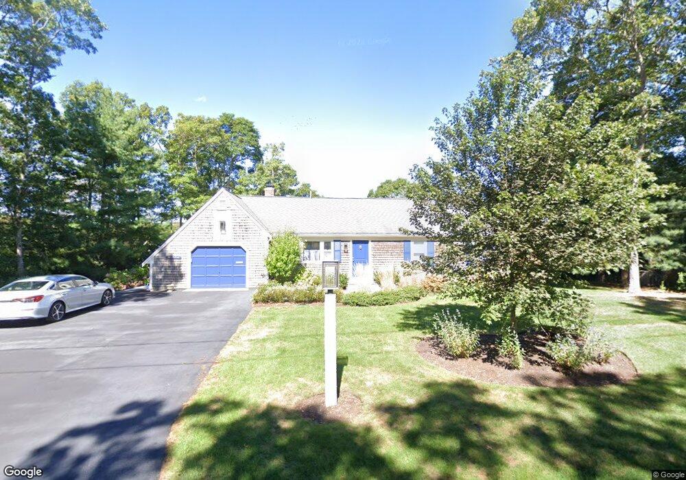
55 Sullivan Rd West Yarmouth, MA 02673
West Yarmouth NeighborhoodEstimated Value: $572,000 - $690,059
3
Beds
2
Baths
1,092
Sq Ft
$587/Sq Ft
Est. Value
About This Home
This home is located at 55 Sullivan Rd, West Yarmouth, MA 02673 and is currently estimated at $640,515, approximately $586 per square foot. 55 Sullivan Rd is a home located in Barnstable County with nearby schools including Dennis-Yarmouth Regional High School, Sturgis Charter Public School, and St. Pius X. School.
Ownership History
Date
Name
Owned For
Owner Type
Purchase Details
Closed on
Dec 6, 2017
Sold by
Meimaris Christine
Bought by
Christine Meimaris Ret
Current Estimated Value
Purchase Details
Closed on
Jun 8, 2017
Sold by
Meimaris Ft
Bought by
Meimaris Christine
Purchase Details
Closed on
Oct 22, 2010
Sold by
Meimaris George D and Meimaris Tasia K
Bought by
Meimaris James and Lauria Christine
Purchase Details
Closed on
Jan 5, 1981
Bought by
Meimaris James
Create a Home Valuation Report for This Property
The Home Valuation Report is an in-depth analysis detailing your home's value as well as a comparison with similar homes in the area
Home Values in the Area
Average Home Value in this Area
Purchase History
| Date | Buyer | Sale Price | Title Company |
|---|---|---|---|
| Christine Meimaris Ret | -- | -- | |
| Meimaris Christine | -- | -- | |
| Meimaris James | -- | -- | |
| Meimaris James | -- | -- |
Source: Public Records
Tax History Compared to Growth
Tax History
| Year | Tax Paid | Tax Assessment Tax Assessment Total Assessment is a certain percentage of the fair market value that is determined by local assessors to be the total taxable value of land and additions on the property. | Land | Improvement |
|---|---|---|---|---|
| 2025 | $4,937 | $697,300 | $306,100 | $391,200 |
| 2024 | $4,727 | $640,500 | $281,100 | $359,400 |
| 2023 | $4,680 | $577,100 | $260,600 | $316,500 |
| 2022 | $4,556 | $496,300 | $244,300 | $252,000 |
| 2021 | $4,378 | $457,900 | $244,300 | $213,600 |
| 2020 | $4,347 | $434,700 | $244,200 | $190,500 |
| 2019 | $4,112 | $407,100 | $244,200 | $162,900 |
| 2018 | $2,174 | $370,900 | $208,000 | $162,900 |
| 2017 | $3,625 | $361,800 | $198,900 | $162,900 |
| 2016 | $3,431 | $343,800 | $180,900 | $162,900 |
| 2015 | $3,210 | $319,700 | $180,900 | $138,800 |
Source: Public Records
Map
Nearby Homes
- 11 Elizabeth Ln
- 8 Nobby Ln
- 300 Buck Island Rd Unit 8B
- 300 Buck Island Rd Unit 13F
- 300 Buck Island Rd Unit C13F
- 6 Checkerberry Ln
- 2 Ocean Spray Ln
- 9 Roberta Dr
- 222 Buck Island Rd Unit 3-4
- 19 Anthony Rd
- 12 Denver Dr
- 38 Traders Ln
- 503 Route 28 Unit 15
- 503 Route 28 Unit 5
- 503 Route 28 Unit 25
- 441 Buck Island Rd Unit G3
- 441 Buck Island Rd Unit G3
- 441 Buck Island Rd Unit E5
- 441 Buck Island Rd Unit B1
- 441 Buck Island Rd Unit E1