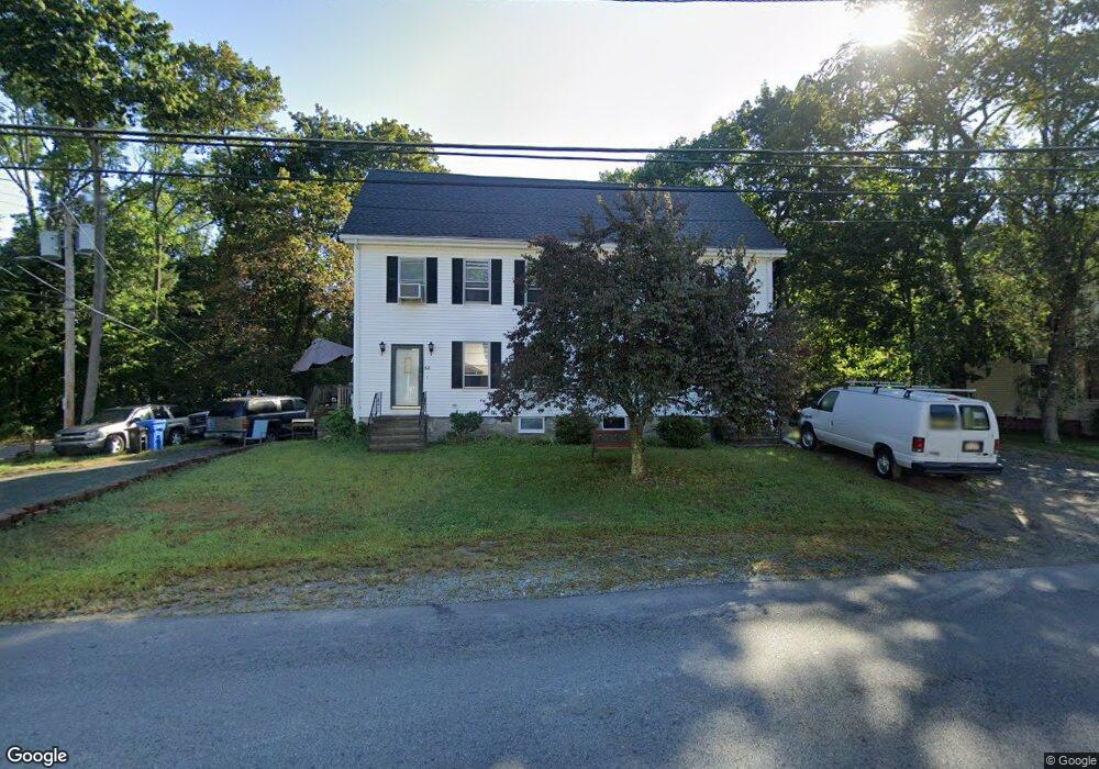
55 Taunton St Wrentham, MA 02093
Estimated Value: $363,000 - $430,000
2
Beds
2
Baths
1,288
Sq Ft
$302/Sq Ft
Est. Value
About This Home
This home is located at 55 Taunton St, Wrentham, MA 02093 and is currently estimated at $388,340, approximately $301 per square foot. 55 Taunton St is a home located in Norfolk County with nearby schools including Delaney Elementary School, Charles E Roderick, and The Sage School.
Create a Home Valuation Report for This Property
The Home Valuation Report is an in-depth analysis detailing your home's value as well as a comparison with similar homes in the area
Home Values in the Area
Average Home Value in this Area
Tax History Compared to Growth
Tax History
| Year | Tax Paid | Tax Assessment Tax Assessment Total Assessment is a certain percentage of the fair market value that is determined by local assessors to be the total taxable value of land and additions on the property. | Land | Improvement |
|---|---|---|---|---|
| 2025 | $3,119 | $269,100 | $0 | $269,100 |
| 2024 | $3,229 | $269,100 | $0 | $269,100 |
| 2023 | $3,334 | $264,200 | $0 | $264,200 |
| 2022 | $3,053 | $223,300 | $0 | $223,300 |
| 2021 | $2,910 | $206,800 | $0 | $206,800 |
| 2020 | $2,861 | $200,800 | $0 | $200,800 |
| 2019 | $2,835 | $200,800 | $0 | $200,800 |
| 2018 | $3,217 | $225,900 | $0 | $225,900 |
| 2017 | $3,099 | $217,500 | $0 | $217,500 |
| 2016 | $2,989 | $209,300 | $0 | $209,300 |
| 2015 | $3,017 | $201,400 | $0 | $201,400 |
| 2014 | $3,083 | $201,400 | $0 | $201,400 |
Source: Public Records
Map
Nearby Homes
- 10 Nature View Dr
- 15 Nature View Dr
- 319 Taunton St
- 131 Creek St Unit 7
- 362 East St
- 1 Lorraine Metcalf Dr
- 270 Dedham St
- 11 Earle Stewart Ln
- Lot 3 - 14 Earle Stewart Ln
- Lot 1 - Blueberry 2 Car Plan at King Philip Estates
- Lot 8 - Blueberry 2 Car Plan at King Philip Estates
- Lot 5 - Hughes 2 car Plan at King Philip Estates
- Lot 6 - Blueberry 3 Car Plan at King Philip Estates
- Lot 2 - Camden 2 Car Plan at King Philip Estates
- Lot 7 - Cedar Plan at King Philip Estates
- Lot 4 - Hemingway 2 Car Plan at King Philip Estates
- Lot 3 - Blueberry 2 Car Plan at King Philip Estates
- 570 Franklin St
- 65 Pond St
- 120 Hawes St