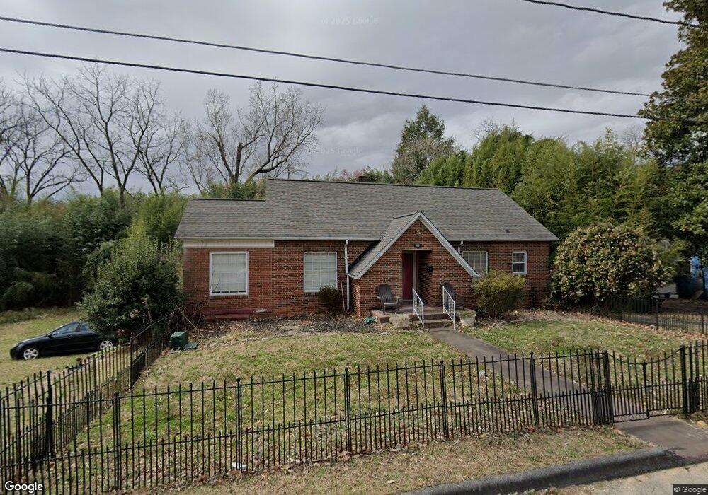
55 Vale St Marion, NC 28752
Estimated Value: $220,000 - $251,000
2
Beds
2
Baths
1,397
Sq Ft
$168/Sq Ft
Est. Value
About This Home
This home is located at 55 Vale St, Marion, NC 28752 and is currently estimated at $234,722, approximately $168 per square foot. 55 Vale St is a home located in McDowell County with nearby schools including Marion Elementary School, East McDowell Junior High School, and McDowell High School.
Ownership History
Date
Name
Owned For
Owner Type
Purchase Details
Closed on
Sep 5, 2014
Bought by
Myers Heather
Current Estimated Value
Purchase Details
Closed on
Jan 26, 2009
Sold by
Mace Jack T and Mace Linda P
Bought by
Myers Heather L
Home Financials for this Owner
Home Financials are based on the most recent Mortgage that was taken out on this home.
Original Mortgage
$76,095
Interest Rate
5.24%
Mortgage Type
FHA
Create a Home Valuation Report for This Property
The Home Valuation Report is an in-depth analysis detailing your home's value as well as a comparison with similar homes in the area
Home Values in the Area
Average Home Value in this Area
Purchase History
| Date | Buyer | Sale Price | Title Company |
|---|---|---|---|
| Myers Heather | $105,000 | -- | |
| Myers Heather L | $775,000 | None Available |
Source: Public Records
Mortgage History
| Date | Status | Borrower | Loan Amount |
|---|---|---|---|
| Previous Owner | Myers Heather L | $76,095 |
Source: Public Records
Tax History Compared to Growth
Tax History
| Year | Tax Paid | Tax Assessment Tax Assessment Total Assessment is a certain percentage of the fair market value that is determined by local assessors to be the total taxable value of land and additions on the property. | Land | Improvement |
|---|---|---|---|---|
| 2025 | $749 | $125,270 | $25,000 | $100,270 |
| 2024 | $749 | $125,270 | $25,000 | $100,270 |
| 2023 | $749 | $125,270 | $25,000 | $100,270 |
| 2022 | $706 | $116,100 | $17,500 | $98,600 |
| 2021 | $706 | $116,100 | $17,500 | $98,600 |
| 2020 | $718 | $116,100 | $0 | $0 |
| 2019 | $718 | $93,530 | $0 | $0 |
| 2017 | $543 | $93,530 | $0 | $0 |
| 2016 | $543 | $93,530 | $12,000 | $81,530 |
| 2014 | $533 | $93,530 | $12,000 | $81,530 |
| 2013 | -- | $93,530 | $12,000 | $81,530 |
Source: Public Records
Map
Nearby Homes
- 634 Rutherford Rd
- 584 Rutherford Rd
- 110 Lincoln Ave
- 40 Alabama Ave
- 70 Alabama Ave
- 300 Morgan St
- 19 W Glenview St
- 41 Miller Ave
- 220 Broad St
- 80 Morgan St
- 329 Morehead Rd
- 610 Miller Ave
- 200 Woodland Dr
- V/L Marterdan Ridge
- 390 Forest Heights Dr
- V/L Mount Ida Dr
- 17 3rd St
- 60 3rd St
- 141 N Madison St
- 61 3rd St Unit 98
- 75 Vale St
- 58 Vale St
- 64 Sinclair Ave
- 87 Vale St
- 21 Vale St
- 84 Sinclair Ave
- 95 Vale St
- 96 Sinclair Ave
- 629 Rutherford Rd
- 687 Rutherford Rd
- 96 Vale St
- 106 Sinclair Ave
- 619 Rutherford Rd Unit 20
- 619 Rutherford Rd
- 65 Sinclair Ave
- 79 Sinclair Ave
- 111 Vale St
- 705 Rutherford Rd
- 114 Sinclair Ave
- 95 Sinclair Ave