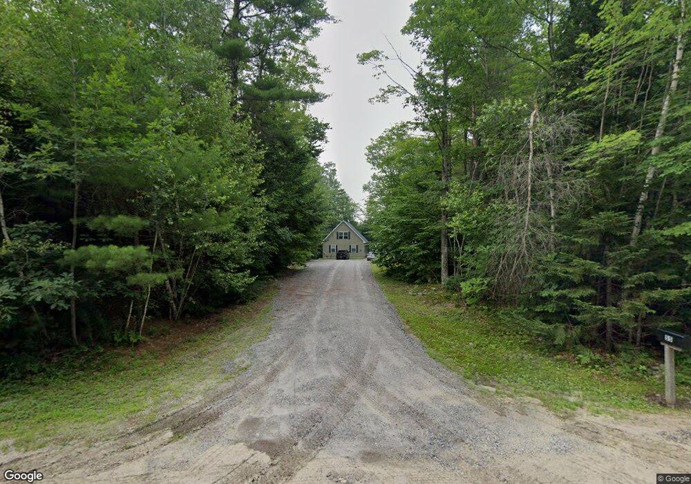
55 W Shore Dr Otisfield, ME 04270
Estimated Value: $487,000 - $630,456
--
Bed
--
Bath
1,120
Sq Ft
$499/Sq Ft
Est. Value
About This Home
This home is located at 55 W Shore Dr, Otisfield, ME 04270 and is currently estimated at $558,728, approximately $498 per square foot. 55 W Shore Dr is a home with nearby schools including Otisfield Community School, Oxford Hills Middle School, and Oxford Hills Comprehensive High School.
Ownership History
Date
Name
Owned For
Owner Type
Purchase Details
Closed on
Mar 17, 2023
Sold by
Disorbo Anne M and Disorbo John
Bought by
Disorbo Ft and Disorbo
Current Estimated Value
Purchase Details
Closed on
Sep 24, 2021
Sold by
Goddard Deborah A
Bought by
Disorbo Anne M and Disorbo John
Home Financials for this Owner
Home Financials are based on the most recent Mortgage that was taken out on this home.
Original Mortgage
$412,000
Interest Rate
2.8%
Mortgage Type
Purchase Money Mortgage
Create a Home Valuation Report for This Property
The Home Valuation Report is an in-depth analysis detailing your home's value as well as a comparison with similar homes in the area
Home Values in the Area
Average Home Value in this Area
Purchase History
| Date | Buyer | Sale Price | Title Company |
|---|---|---|---|
| Disorbo Ft | -- | None Available | |
| Disorbo Ft | -- | None Available | |
| Disorbo Anne M | -- | None Available | |
| Disorbo Anne M | -- | None Available |
Source: Public Records
Mortgage History
| Date | Status | Borrower | Loan Amount |
|---|---|---|---|
| Previous Owner | Disorbo Anne M | $412,000 |
Source: Public Records
Tax History Compared to Growth
Tax History
| Year | Tax Paid | Tax Assessment Tax Assessment Total Assessment is a certain percentage of the fair market value that is determined by local assessors to be the total taxable value of land and additions on the property. | Land | Improvement |
|---|---|---|---|---|
| 2024 | $4,468 | $251,696 | $127,775 | $123,921 |
| 2023 | $4,077 | $251,696 | $127,775 | $123,921 |
| 2022 | $3,687 | $251,696 | $127,775 | $123,921 |
| 2021 | $3,624 | $251,696 | $127,775 | $123,921 |
| 2020 | $1,787 | $251,696 | $127,775 | $123,921 |
| 2019 | $2,725 | $251,696 | $127,775 | $123,921 |
| 2018 | $3,662 | $251,696 | $127,775 | $123,921 |
| 2017 | $3,587 | $251,696 | $127,775 | $123,921 |
| 2016 | $3,373 | $251,696 | $127,775 | $123,921 |
| 2015 | $3,247 | $251,696 | $127,775 | $123,921 |
| 2014 | $3,020 | $251,696 | $127,775 | $123,921 |
Source: Public Records
Map
Nearby Homes
- 35 Pond View Dr
- 37 Ridgewood Terrace
- 277 Rayville Rd
- 288 Ahonen Rd
- 123 Bolsters Mills Rd
- 75 Moose Pond Rd
- 613 State Route 121
- 403 Bolsters Mills Rd
- 515 Bean Rd
- 27 Ahonen Rd
- 9A-2 Gore Rd
- 9A-1 Gore Rd
- 592 Maple Ridge Rd
- 17 Partridge Ln
- 122 Bolsters Mills Rd
- Lot A. Serenity Ln
- 122 & 123 Bolsters Mills Rd
- 173 Tamworth Rd
- 16-B Cobb Hill Rd
- 90 Jillson Camp Rd
- 15 Pond View Dr
- 11 Pond View Dr
- 29 Pond View Dr
- 0 Pond View (Lot #29) Estates Unit 1367304
- 0 Pond View (Lot#30) Estates Unit 1367325
- Lot #30 Pond View Estates
- 37 Pondview
- Lot 39 Pond View Dr
- 36 Pond View
- Lot 36 Pond View Dr
- 419 Bell Hill Rd
- 0 Pond View Dr Lot #29
- 0 Pond View Dr Lot #30
- 0 Pond View
- 0 Pond View Estates
- 38 Pond View Estates
- 417 & 419 Bell Hill Rd
- 3 Pond View Dr
- 0 Pond View Dr Unit 720785
- 0 Pond View Dr Unit 246261