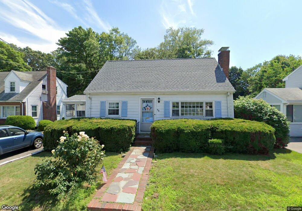
55 Wesson Ave Quincy, MA 02169
Estimated Value: $591,000 - $687,000
3
Beds
1
Bath
1,305
Sq Ft
$492/Sq Ft
Est. Value
About This Home
This home is located at 55 Wesson Ave, Quincy, MA 02169 and is currently estimated at $642,168, approximately $492 per square foot. 55 Wesson Ave is a home located in Norfolk County with nearby schools including South West Middle School, Lincoln-Hancock Community School, and Quincy High School.
Ownership History
Date
Name
Owned For
Owner Type
Purchase Details
Closed on
Dec 31, 1996
Sold by
Mcdonald Mildred L
Bought by
Maclean Mary E
Current Estimated Value
Home Financials for this Owner
Home Financials are based on the most recent Mortgage that was taken out on this home.
Original Mortgage
$114,800
Interest Rate
7.55%
Mortgage Type
Purchase Money Mortgage
Create a Home Valuation Report for This Property
The Home Valuation Report is an in-depth analysis detailing your home's value as well as a comparison with similar homes in the area
Purchase History
| Date | Buyer | Sale Price | Title Company |
|---|---|---|---|
| Maclean Mary E | $143,500 | -- |
Source: Public Records
Mortgage History
| Date | Status | Borrower | Loan Amount |
|---|---|---|---|
| Open | Maclean Mary E | $100,000 | |
| Closed | Maclean Mary E | $114,800 | |
| Previous Owner | Maclean Mary E | $29,000 | |
| Previous Owner | Maclean Mary E | $30,000 |
Source: Public Records
Tax History
| Year | Tax Paid | Tax Assessment Tax Assessment Total Assessment is a certain percentage of the fair market value that is determined by local assessors to be the total taxable value of land and additions on the property. | Land | Improvement |
|---|---|---|---|---|
| 2025 | $7,084 | $614,400 | $314,700 | $299,700 |
| 2024 | $6,729 | $597,100 | $299,900 | $297,200 |
| 2023 | $6,286 | $564,800 | $285,800 | $279,000 |
| 2022 | $5,953 | $496,900 | $229,100 | $267,800 |
| 2021 | $5,865 | $483,100 | $229,100 | $254,000 |
| 2020 | $5,004 | $402,600 | $229,100 | $173,500 |
| 2019 | $4,714 | $375,600 | $222,600 | $153,000 |
| 2018 | $4,712 | $353,200 | $206,300 | $146,900 |
| 2017 | $4,553 | $321,300 | $196,600 | $124,700 |
| 2016 | $4,255 | $296,300 | $179,000 | $117,300 |
| 2015 | $4,110 | $281,500 | $169,000 | $112,500 |
| 2014 | $3,930 | $264,500 | $169,000 | $95,500 |
Source: Public Records
Map
Nearby Homes
- 510 Willard St
- 36 Village Dr
- 9 Westford St
- 87 Village Dr
- 459 Willard St Unit 303
- 25 McDonald St
- 51 Branch St Unit 2
- 132 Centre St
- 21 Totman St Unit 308
- 21 Totman St Unit 205
- 21 Totman St Unit 404
- 21 Totman St Unit 309
- 21 Totman St Unit 203
- 21 Totman St Unit PH-406
- 21 Totman St Unit 301
- 21 Totman St Unit PH-405
- 21 Totman St Unit 407
- 211 Copeland St
- 57 Buckley St
- 14 Arthur Ave
Your Personal Tour Guide
Ask me questions while you tour the home.