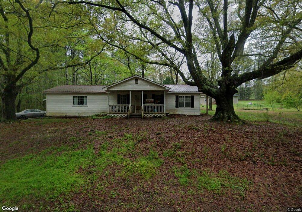
55 West Rd Cedartown, GA 30125
Estimated Value: $175,283 - $306,000
2
Beds
1
Bath
1,605
Sq Ft
$144/Sq Ft
Est. Value
About This Home
This home is located at 55 West Rd, Cedartown, GA 30125 and is currently estimated at $231,571, approximately $144 per square foot. 55 West Rd is a home located in Polk County with nearby schools including Vineyard Harvester Christian Academy and Cedar Christian School.
Ownership History
Date
Name
Owned For
Owner Type
Purchase Details
Closed on
Aug 27, 2004
Sold by
Thomasson Chad and Thomasson Kimberly I
Bought by
English Billy Eugene
Current Estimated Value
Purchase Details
Closed on
Sep 11, 2000
Sold by
Thomasson Chad
Bought by
Thomasson Chad and Thomasson Kimberly I
Purchase Details
Closed on
Mar 18, 1998
Sold by
Shiflett Charles Ledford
Bought by
Deems Darlene
Purchase Details
Closed on
Oct 24, 1985
Bought by
Shiflett Charles L
Purchase Details
Closed on
Jun 1, 1983
Bought by
Shiflett Charles L
Create a Home Valuation Report for This Property
The Home Valuation Report is an in-depth analysis detailing your home's value as well as a comparison with similar homes in the area
Home Values in the Area
Average Home Value in this Area
Purchase History
| Date | Buyer | Sale Price | Title Company |
|---|---|---|---|
| English Billy Eugene | $73,000 | -- | |
| Thomasson Chad | -- | -- | |
| Thomasson Chad | $52,000 | -- | |
| Deems Darlene | -- | -- | |
| Shiflett Charles L | -- | -- | |
| Shiflett Charles L | -- | -- |
Source: Public Records
Tax History Compared to Growth
Tax History
| Year | Tax Paid | Tax Assessment Tax Assessment Total Assessment is a certain percentage of the fair market value that is determined by local assessors to be the total taxable value of land and additions on the property. | Land | Improvement |
|---|---|---|---|---|
| 2024 | $1,074 | $53,361 | $1,845 | $51,516 |
| 2023 | $776 | $34,701 | $1,845 | $32,856 |
| 2022 | $650 | $29,402 | $1,230 | $28,172 |
| 2021 | $659 | $29,402 | $1,230 | $28,172 |
| 2020 | $660 | $29,402 | $1,230 | $28,172 |
| 2019 | $574 | $23,379 | $1,230 | $22,149 |
| 2018 | $569 | $22,660 | $1,230 | $21,430 |
| 2017 | $562 | $22,660 | $1,230 | $21,430 |
| 2016 | $588 | $23,626 | $2,196 | $21,430 |
| 2015 | $600 | $23,974 | $2,196 | $21,778 |
| 2014 | $604 | $23,974 | $2,196 | $21,778 |
Source: Public Records
Map
Nearby Homes
- 2236 Rome Hwy
- 31 Meadow Lakes Terrace
- 90 W Meadow Lakes Blvd
- 113 Cherokee Estates Dr
- 0 Rome Hwy Unit 10521649
- 0 Collins Rd Unit 10627302
- 232 Stephens Rd
- 88 Sequoyah Ct
- TRACT3 Drummond Rd
- Tract2 Drummond Rd
- 600 Miller Rd
- 133 Virginia Cir
- 1170 Lake Creek Rd
- 727 Cherokee Rd
- 64 Virginia Cir
- 828 N College Dr
- 00 Oak Crest Dr
- 1250 Adams Rd
- 217 Cherokee Cir
- 220 Greenbriar Dr
- 340 Oak Grove Rd
- 339 Oak Grove Rd
- 2179 Rome Hwy
- 53 Denton Rd
- 7 West Rd
- 75 Denton Rd
- 2161 Rome Hwy
- 2151 Rome Hwy
- 293 Oak Grove Rd
- 85 Denton Rd
- 0 Denton Rd Unit 6001886
- 0 Denton Rd Unit 3 8367857
- 0 Denton Rd Unit 7072755
- 0 Denton Rd Unit 7106636
- 0 Denton Rd Unit 3 7326857
- 0 Denton Rd
- 0 Denton Rd Unit 8549557
- 0 Denton Rd Unit 8549540
- 0 Denton Rd Unit 6508381
- 0 Denton Rd Unit 8529961