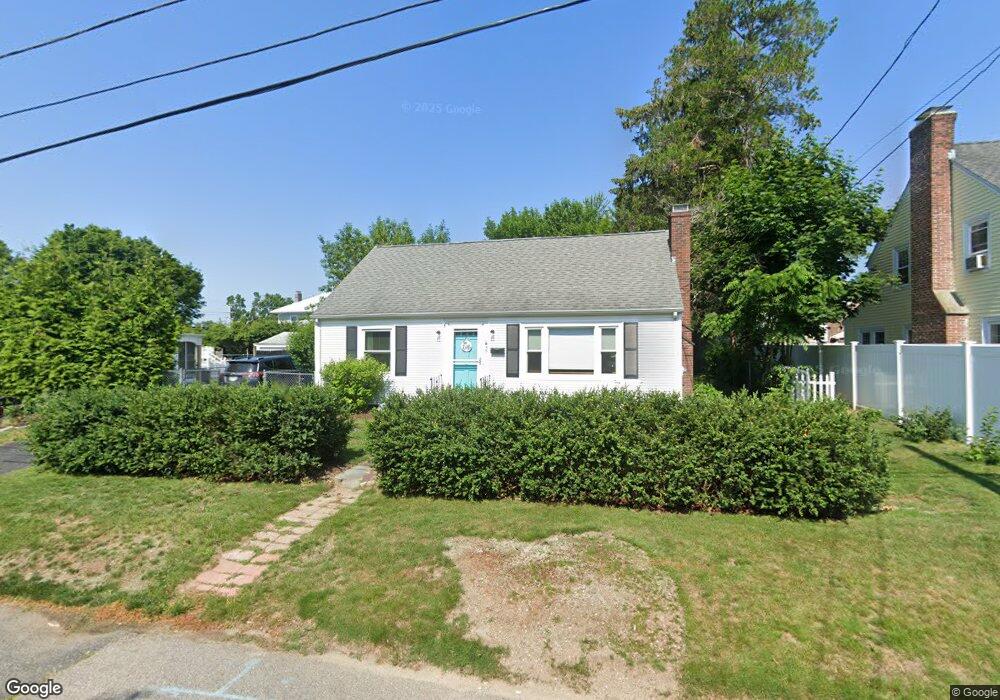
55 Whitcomb Rd Riverside, RI 02915
Riverside NeighborhoodEstimated Value: $426,000 - $506,000
3
Beds
2
Baths
1,547
Sq Ft
$302/Sq Ft
Est. Value
About This Home
This home is located at 55 Whitcomb Rd, Riverside, RI 02915 and is currently estimated at $466,535, approximately $301 per square foot. 55 Whitcomb Rd is a home located in Providence County with nearby schools including East Providence High School, St Mary Academy-Bay View, and The Gordon School.
Ownership History
Date
Name
Owned For
Owner Type
Purchase Details
Closed on
Dec 20, 1993
Sold by
Stevenson Jean I
Bought by
Boucher Thomas J and Boucher Roberta
Current Estimated Value
Home Financials for this Owner
Home Financials are based on the most recent Mortgage that was taken out on this home.
Original Mortgage
$78,000
Interest Rate
7.03%
Create a Home Valuation Report for This Property
The Home Valuation Report is an in-depth analysis detailing your home's value as well as a comparison with similar homes in the area
Home Values in the Area
Average Home Value in this Area
Purchase History
| Date | Buyer | Sale Price | Title Company |
|---|---|---|---|
| Boucher Thomas J | $104,000 | -- |
Source: Public Records
Mortgage History
| Date | Status | Borrower | Loan Amount |
|---|---|---|---|
| Open | Boucher Thomas J | $129,605 | |
| Closed | Boucher Thomas J | $124,000 | |
| Closed | Boucher Thomas J | $22,300 | |
| Closed | Boucher Thomas J | $78,000 |
Source: Public Records
Tax History
| Year | Tax Paid | Tax Assessment Tax Assessment Total Assessment is a certain percentage of the fair market value that is determined by local assessors to be the total taxable value of land and additions on the property. | Land | Improvement |
|---|---|---|---|---|
| 2025 | $4,727 | $361,700 | $93,400 | $268,300 |
| 2024 | $4,670 | $304,600 | $77,800 | $226,800 |
| 2023 | $4,496 | $304,600 | $77,800 | $226,800 |
| 2022 | $4,326 | $197,900 | $46,300 | $151,600 |
| 2021 | $4,255 | $197,900 | $46,300 | $151,600 |
| 2020 | $4,075 | $197,900 | $46,300 | $151,600 |
| 2019 | $3,962 | $197,900 | $46,300 | $151,600 |
| 2018 | $3,723 | $162,700 | $49,600 | $113,100 |
| 2017 | $3,640 | $162,700 | $49,600 | $113,100 |
| 2016 | $3,622 | $162,700 | $49,600 | $113,100 |
| 2015 | $3,438 | $149,800 | $48,500 | $101,300 |
| 2014 | $3,438 | $149,800 | $48,500 | $101,300 |
Source: Public Records
Map
Nearby Homes
- 43 Bullocks Point Ave Unit 4A
- 151 Willett Ave Unit 2
- 25 Bullocks Point Ave Unit 5C
- 33 Bullocks Point Ave Unit 5C
- 6 Fuller Ave
- 25 Arnold St
- 103 Burnside Ave
- 28 Jefferson Ave
- 33 Pine St Unit 35
- 25 Winslow St
- 72 Stowe Ave
- 129 Shore Rd
- 14 Benedict St
- 14 Winthrop St
- 41 White Ave
- 2941 Pawtucket Ave
- 42 Mountain Ave
- 15 Claire St
- 10 Booth Ave
- 85 Hilton Ave
Your Personal Tour Guide
Ask me questions while you tour the home.