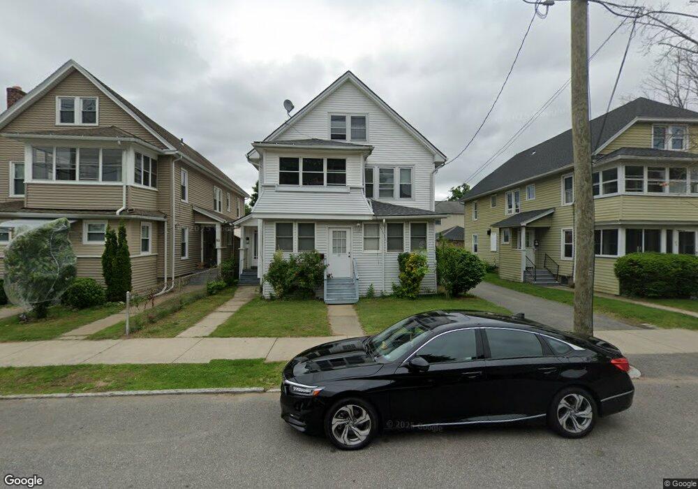
55 Woodlawn St Unit 57 Springfield, MA 01108
Forest Park NeighborhoodEstimated Value: $305,000 - $394,000
6
Beds
2
Baths
2,418
Sq Ft
$146/Sq Ft
Est. Value
About This Home
This home is located at 55 Woodlawn St Unit 57, Springfield, MA 01108 and is currently estimated at $352,601, approximately $145 per square foot. 55 Woodlawn St Unit 57 is a home located in Hampden County with nearby schools including Washington Elementary School, Forest Park Middle School, and Springfield High School of Science and Technology.
Ownership History
Date
Name
Owned For
Owner Type
Purchase Details
Closed on
Apr 21, 2009
Sold by
Son Sol and Son John
Bought by
Neang Sarim and Duong Kim Chau
Current Estimated Value
Purchase Details
Closed on
Dec 18, 1995
Sold by
Lelas Charles J and Lelas Judith A
Bought by
Son Sol
Home Financials for this Owner
Home Financials are based on the most recent Mortgage that was taken out on this home.
Original Mortgage
$59,400
Interest Rate
7.43%
Mortgage Type
Purchase Money Mortgage
Create a Home Valuation Report for This Property
The Home Valuation Report is an in-depth analysis detailing your home's value as well as a comparison with similar homes in the area
Home Values in the Area
Average Home Value in this Area
Purchase History
| Date | Buyer | Sale Price | Title Company |
|---|---|---|---|
| Neang Sarim | -- | -- | |
| Son Sol | $66,000 | -- |
Source: Public Records
Mortgage History
| Date | Status | Borrower | Loan Amount |
|---|---|---|---|
| Previous Owner | Son Sol | $59,400 |
Source: Public Records
Tax History Compared to Growth
Tax History
| Year | Tax Paid | Tax Assessment Tax Assessment Total Assessment is a certain percentage of the fair market value that is determined by local assessors to be the total taxable value of land and additions on the property. | Land | Improvement |
|---|---|---|---|---|
| 2025 | $4,489 | $286,300 | $37,300 | $249,000 |
| 2024 | $4,029 | $250,900 | $37,300 | $213,600 |
| 2023 | $3,790 | $222,300 | $35,600 | $186,700 |
| 2022 | $3,561 | $189,200 | $35,600 | $153,600 |
| 2021 | $3,393 | $179,500 | $32,300 | $147,200 |
| 2020 | $3,277 | $167,800 | $32,300 | $135,500 |
| 2019 | $3,273 | $166,300 | $32,300 | $134,000 |
| 2018 | $3,341 | $157,800 | $32,300 | $125,500 |
| 2017 | $3,102 | $157,800 | $32,300 | $125,500 |
| 2016 | $2,680 | $136,300 | $32,300 | $104,000 |
| 2015 | $2,689 | $136,700 | $32,300 | $104,400 |
Source: Public Records
Map
Nearby Homes
- 20 Taft St
- 35 Carlton St
- 52 Eldridge St
- 40 Eldridge St
- 137-139 Fountain St
- 855 Belmont Ave
- 114 Sylvan St Unit 116
- 769-771 Belmont Ave
- 877 Belmont Ave
- 742 Belmont Ave
- 78 Whittier St
- 12 Prescott St
- 60 Blake St
- 62-64 Whittier St
- 615 White St
- Lot 30 Carver St
- 35-37 Whittier St
- 147 Belvidere St
- 11-15 Groveland St
- 88 Brunswick St
- 63 Woodlawn St Unit 1
- 61 Woodlawn St Unit 63
- 61-63 Woodlawn St
- 61 Woodlawn St Unit 2
- 51 Woodlawn St Unit 53
- 14 Hughes St Unit 16
- 14-16 Hughes St
- 45 Woodlawn St Unit 47
- 45-47 Woodlawn St
- 11 Taft St Unit 15
- 11-15 Taft St
- 18 Hughes St Unit 20
- 71-73 Woodlawn St
- 71 Woodlawn St Unit 73
- 11 Hughes St Unit 15
- 11-15 Hughes St
- 35 Woodlawn St Unit 37
- 75 Woodlawn St Unit 77
- 42 Sylvan St Unit 44
- 38-40 Sylvan St