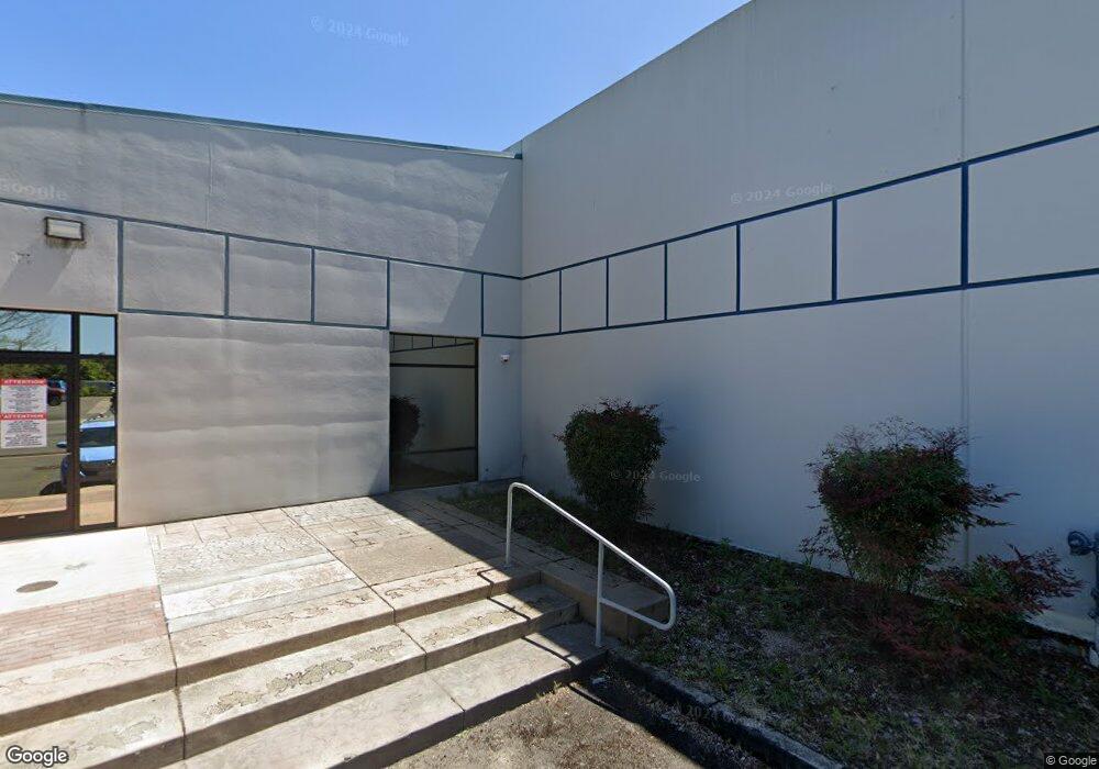
550 Airport Rd Medford, OR 97504
Estimated Value: $3,109,715
--
Bed
--
Bath
30,400
Sq Ft
$102/Sq Ft
Est. Value
About This Home
This home is located at 550 Airport Rd, Medford, OR 97504 and is currently priced at $3,109,715, approximately $102 per square foot. 550 Airport Rd is a home located in Jackson County with nearby schools including Wilson Elementary School, Hedrick Middle School, and North Medford High School.
Ownership History
Date
Name
Owned For
Owner Type
Purchase Details
Closed on
Feb 19, 2007
Sold by
Klein Lakefish Llc
Bought by
Airport Road Llc
Current Estimated Value
Home Financials for this Owner
Home Financials are based on the most recent Mortgage that was taken out on this home.
Original Mortgage
$1,184,427
Interest Rate
6.21%
Mortgage Type
Purchase Money Mortgage
Purchase Details
Closed on
Jun 30, 2005
Sold by
Lakefish Stanley J and Klein George R
Bought by
Klein Lakefish Llc
Purchase Details
Closed on
Nov 9, 2004
Sold by
Lakefish Stanley J
Bought by
Lakefish Stanley J and Lakefish Susan E
Create a Home Valuation Report for This Property
The Home Valuation Report is an in-depth analysis detailing your home's value as well as a comparison with similar homes in the area
Home Values in the Area
Average Home Value in this Area
Purchase History
| Date | Buyer | Sale Price | Title Company |
|---|---|---|---|
| Airport Road Llc | $2,150,000 | Lawyers Title Ins | |
| Klein Lakefish Llc | -- | -- | |
| Lakefish Stanley J | -- | -- |
Source: Public Records
Mortgage History
| Date | Status | Borrower | Loan Amount |
|---|---|---|---|
| Closed | Airport Road Llc | $1,184,427 |
Source: Public Records
Tax History Compared to Growth
Tax History
| Year | Tax Paid | Tax Assessment Tax Assessment Total Assessment is a certain percentage of the fair market value that is determined by local assessors to be the total taxable value of land and additions on the property. | Land | Improvement |
|---|---|---|---|---|
| 2025 | $38,103 | $2,627,330 | $457,410 | $2,169,920 |
| 2024 | $38,103 | $2,550,810 | $444,090 | $2,106,720 |
| 2023 | $36,935 | $2,476,520 | $431,160 | $2,045,360 |
| 2022 | $36,034 | $2,476,520 | $431,160 | $2,045,360 |
| 2021 | $35,102 | $2,404,390 | $418,600 | $1,985,790 |
| 2020 | $34,359 | $2,334,360 | $406,410 | $1,927,950 |
| 2019 | $33,547 | $2,200,360 | $383,080 | $1,817,280 |
| 2018 | $32,687 | $1,885,630 | $371,920 | $1,513,710 |
| 2017 | $28,808 | $1,885,630 | $371,920 | $1,513,710 |
| 2016 | $28,516 | $1,777,390 | $350,570 | $1,426,820 |
| 2015 | $27,409 | $1,777,390 | $350,570 | $1,426,820 |
| 2014 | $26,926 | $1,675,370 | $330,450 | $1,344,920 |
Source: Public Records
Map
Nearby Homes
- 811 O'Hare Pkwy
- 460 Federal Way
- 4105 Table Rock Rd
- 4121 Table Rock Rd
- 4251 Table Rock Rd
- 1025 Fairfield Ave
- 4601 Biddle Rd Unit C
- 1017 Fairfield Ave
- 4404 Biddle Rd
- 1060 Hopkins Rd
- 928 Brandi Way
- 223 Ridgeway Ave
- 3119 Merriman Rd
- 201 Orchardview Cir
- 4399 Table Rock Rd
- 529 Black Bear Dr
- 246 Reanna Way
- 921 Pittview Ave
- 4286 Hamrick Rd
- 1840 E Pine St
- 0 Biddle Rd Unit 100261383
- 0 Biddle Rd Unit 100985576
- 0 Biddle Rd Unit 100073463
- 0 Biddle Rd Unit 100970392
- 0 Biddle Rd Unit 100077498
- 0 Biddle Rd Unit 102800063
- 0 Biddle Rd Unit 102800312
- 0 Biddle Rd Unit 102806782
- 0 Biddle Rd Unit 102900402
- 0 Biddle Rd Unit 102900903
- 0 Biddle Rd Unit 102929154
- 0 Biddle Rd Unit 102933605
- 0 Biddle Rd Unit 102938237
- 0 Biddle Rd Unit 102945192
- 0 Biddle Rd Unit 102956797
- 0 Biddle Rd Unit 102957976
- 0 Biddle Rd Unit 102959318
- 0 Biddle Rd Unit 102964332
- 0 Biddle Rd Unit 102972452
- 3600 Avion Dr