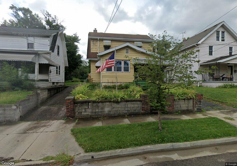
550 Baird St Akron, OH 44311
South Akron NeighborhoodEstimated Value: $85,583 - $122,000
3
Beds
2
Baths
1,440
Sq Ft
$71/Sq Ft
Est. Value
About This Home
This home is located at 550 Baird St, Akron, OH 44311 and is currently estimated at $101,896, approximately $70 per square foot. 550 Baird St is a home located in Summit County with nearby schools including Glover Community Learning Center, Kenmore Garfield Community Learning Center, and Main Preparatory Academy.
Ownership History
Date
Name
Owned For
Owner Type
Purchase Details
Closed on
May 9, 2011
Sold by
Noffsinger Rachel Marie
Bought by
Noffsinger Matthew Gene
Current Estimated Value
Purchase Details
Closed on
Sep 19, 2008
Sold by
Behrens Zack and Behrens Diana
Bought by
Noffsinger Matthew Gene and Noffsinger Rachel Marie
Purchase Details
Closed on
Mar 7, 2008
Sold by
Homesales Inc
Bought by
Behrens Zack and Behrens Diana
Purchase Details
Closed on
Nov 13, 2007
Sold by
Johnson Robert P
Bought by
Homesales Inc and Homesales Inc Of Delaware
Create a Home Valuation Report for This Property
The Home Valuation Report is an in-depth analysis detailing your home's value as well as a comparison with similar homes in the area
Home Values in the Area
Average Home Value in this Area
Purchase History
| Date | Buyer | Sale Price | Title Company |
|---|---|---|---|
| Noffsinger Matthew Gene | -- | Minnesota Title | |
| Noffsinger Matthew Gene | $17,500 | Attorney | |
| Behrens Zack | $11,000 | Chicago Title | |
| Homesales Inc | $46,000 | None Available |
Source: Public Records
Tax History Compared to Growth
Tax History
| Year | Tax Paid | Tax Assessment Tax Assessment Total Assessment is a certain percentage of the fair market value that is determined by local assessors to be the total taxable value of land and additions on the property. | Land | Improvement |
|---|---|---|---|---|
| 2025 | $1,000 | $18,068 | $3,707 | $14,361 |
| 2024 | $1,000 | $18,068 | $3,707 | $14,361 |
| 2023 | $1,000 | $18,068 | $3,707 | $14,361 |
| 2022 | $841 | $11,764 | $2,181 | $9,583 |
| 2021 | $991 | $11,764 | $2,181 | $9,583 |
| 2020 | $979 | $11,760 | $2,180 | $9,580 |
| 2019 | $1,434 | $17,130 | $4,250 | $12,880 |
| 2018 | $1,417 | $17,130 | $4,250 | $12,880 |
| 2017 | $1,455 | $17,130 | $4,250 | $12,880 |
| 2016 | $1,456 | $17,390 | $4,250 | $13,140 |
| 2015 | $1,455 | $17,390 | $4,250 | $13,140 |
| 2014 | $1,445 | $17,390 | $4,250 | $13,140 |
| 2013 | $1,474 | $18,190 | $4,250 | $13,940 |
Source: Public Records
Map
Nearby Homes
- 554 Baird St
- 560 Baird St
- 545 Kipling St
- 538 Baird St
- 871, 873 & 869 1 & 2 Brown St & 538 Baird St
- 551-551 1/2 Baird St
- 551 Baird St
- 875 Brown St
- 871 Brown St
- 871 - 873 & 869 - 86 Brown St & 538 Baird St
- 871 - 873 Brown & 538 Baird St
- 551 Baird St
- 553 Baird St
- 873 Brown St
- 883 Brown St
- 541 Baird St
- 885 Brown St
- 863 Brown St
- 869 Brown St Unit 1
- 859 Brown St