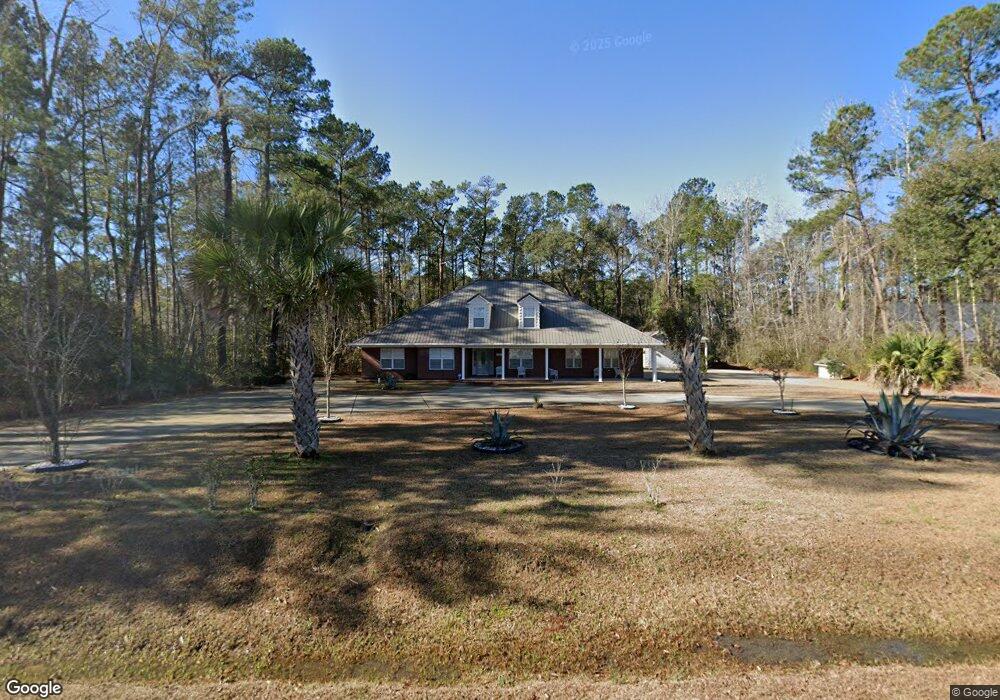
550 Caines Landing Rd Unit 550 Caines Landing R Conway, SC 29526
Estimated Value: $353,000 - $504,000
4
Beds
3
Baths
1,940
Sq Ft
$210/Sq Ft
Est. Value
About This Home
This home is located at 550 Caines Landing Rd Unit 550 Caines Landing R, Conway, SC 29526 and is currently estimated at $408,176, approximately $210 per square foot. 550 Caines Landing Rd Unit 550 Caines Landing R is a home located in Horry County with nearby schools including Kingston Elementary School, Conway Middle School, and Conway High School.
Ownership History
Date
Name
Owned For
Owner Type
Purchase Details
Closed on
Jun 27, 2007
Sold by
Crawford James O
Bought by
Johnson Jerry
Current Estimated Value
Purchase Details
Closed on
Mar 7, 2001
Sold by
Wilson Johnson
Bought by
Crawford James O
Purchase Details
Closed on
Apr 8, 1999
Sold by
Wilson Johnson
Bought by
Crawford James O and Johnson Wilson
Create a Home Valuation Report for This Property
The Home Valuation Report is an in-depth analysis detailing your home's value as well as a comparison with similar homes in the area
Home Values in the Area
Average Home Value in this Area
Purchase History
| Date | Buyer | Sale Price | Title Company |
|---|---|---|---|
| Johnson Jerry | $50,000 | Attorney | |
| Crawford James O | -- | -- | |
| Crawford James O | -- | -- |
Source: Public Records
Tax History Compared to Growth
Tax History
| Year | Tax Paid | Tax Assessment Tax Assessment Total Assessment is a certain percentage of the fair market value that is determined by local assessors to be the total taxable value of land and additions on the property. | Land | Improvement |
|---|---|---|---|---|
| 2024 | $2,877 | $12,667 | $1,017 | $11,650 |
| 2023 | $2,877 | $12,060 | $961 | $11,099 |
| 2021 | $2,655 | $23,382 | $3,201 | $20,181 |
| 2020 | $2,518 | $23,382 | $3,201 | $20,181 |
| 2019 | $2,518 | $23,382 | $3,201 | $20,181 |
| 2018 | $2,276 | $18,353 | $1,259 | $17,094 |
| 2017 | $2,261 | $17,574 | $480 | $17,094 |
| 2016 | -- | $17,574 | $480 | $17,094 |
| 2015 | $656 | $6,992 | $480 | $6,512 |
| 2014 | $605 | $10,488 | $720 | $9,768 |
Source: Public Records
Map
Nearby Homes
- 574 Whiddy Loop
- Harbor Oak Plan at The Preserve at Shaftesbury Glen
- Forrester Plan at The Preserve at Shaftesbury Glen
- Darby Plan at The Preserve at Shaftesbury Glen
- Westerly Plan at The Preserve at Shaftesbury Glen
- Belfort Plan at The Preserve at Shaftesbury Glen
- Litchfield Plan at The Preserve at Shaftesbury Glen
- 609 Glens Ln
- Tillman Plan at The Preserve at Shaftesbury Glen
- Eaton Plan at The Preserve at Shaftesbury Glen
- 190 Bantry Ln
- 166 Bantry Ln
- 193 Bantry Ln
- 250 Bantry Ln
- 234 Bantry Ln
- 201 Bantry Ln
- 246 Bantry Ln
- 189 Bantry Ln
- 239 Bantry Ln
- 242 Bantry Ln
- 550 Caines Landing Rd
- 500 Whiddy Loop
- 500 Whiddy Loop Unit Lot 18, Hickory B Pl
- 503 Whiddy Loop
- 124 Belfast Loop
- 504 Whiddy Loop
- 504 Whiddy Loop Unit Lot 17, Hemlock Alt
- 507 Whiddy Loop
- 508 Whiddy Loop
- 511 Whiddy Loop
- 120 Belfast Loop
- TBB14 Whiddy Loop
- 512 Whiddy Loop
- 512 Whiddy Loop Unit Lot 15, Chestnut B P
- 515 Whiddy Loop
- 116 Belfast Loop
- 516 Whiddy Loop Unit Lot 14, Hemlock Alt
- 519 Whiddy Loop Unit Lot 23, Oak Plan
- TBB12 Whiddy Loop
- 523 Whiddy Loop Unit Lot 24