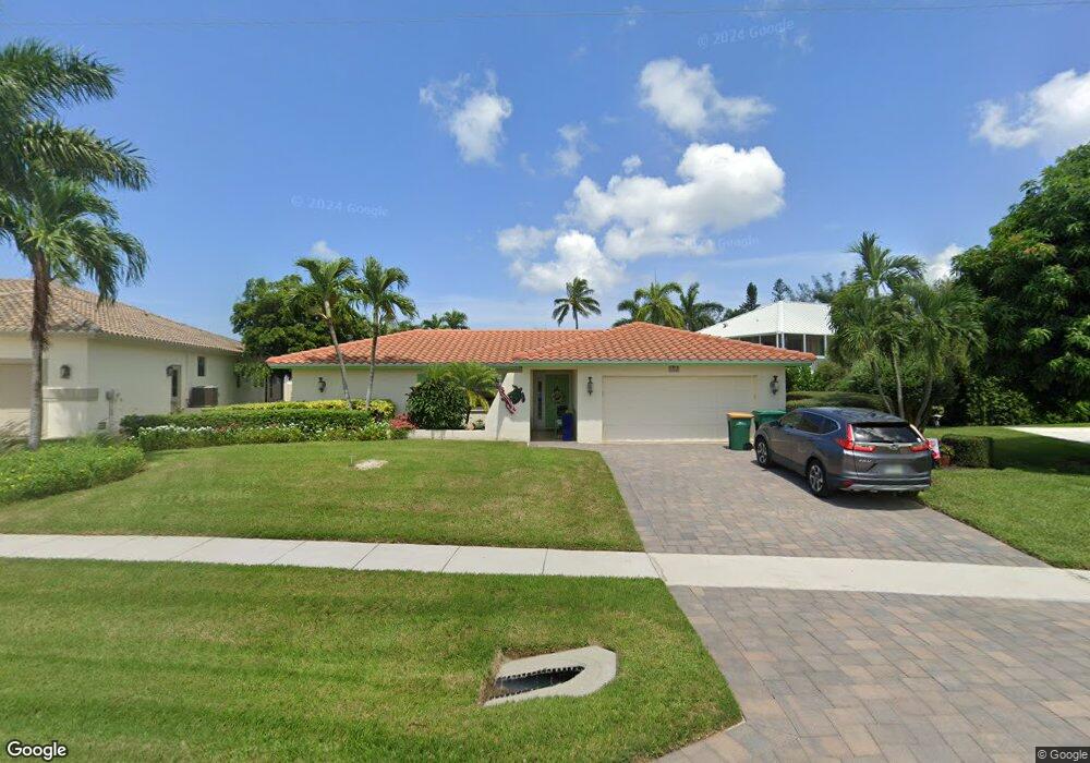
550 Century Dr Marco Island, FL 34145
Estimated Value: $834,000 - $1,114,000
3
Beds
2
Baths
1,678
Sq Ft
$565/Sq Ft
Est. Value
About This Home
This home is located at 550 Century Dr, Marco Island, FL 34145 and is currently estimated at $947,471, approximately $564 per square foot. 550 Century Dr is a home located in Collier County with nearby schools including Tommie Barfield Elementary School, Manatee Middle School, and Lely High School.
Ownership History
Date
Name
Owned For
Owner Type
Purchase Details
Closed on
Aug 23, 2010
Sold by
Dimaria Gaspare
Bought by
Cory Michael Alan and Cory Mary Arnold
Current Estimated Value
Home Financials for this Owner
Home Financials are based on the most recent Mortgage that was taken out on this home.
Original Mortgage
$260,000
Outstanding Balance
$171,013
Interest Rate
4.44%
Mortgage Type
New Conventional
Estimated Equity
$776,458
Purchase Details
Closed on
Jul 22, 2005
Sold by
Bivona Donna
Bought by
Dimaria Gaspare
Purchase Details
Closed on
Feb 17, 2005
Sold by
Pratt Phillip E and Pratt Dorothy Mae
Bought by
Dimaria Gaspare and Bivona Donna
Create a Home Valuation Report for This Property
The Home Valuation Report is an in-depth analysis detailing your home's value as well as a comparison with similar homes in the area
Home Values in the Area
Average Home Value in this Area
Purchase History
| Date | Buyer | Sale Price | Title Company |
|---|---|---|---|
| Cory Michael Alan | $325,000 | Attorney | |
| Dimaria Gaspare | -- | -- | |
| Dimaria Gaspare | $559,000 | -- |
Source: Public Records
Mortgage History
| Date | Status | Borrower | Loan Amount |
|---|---|---|---|
| Open | Cory Michael Alan | $260,000 |
Source: Public Records
Tax History Compared to Growth
Tax History
| Year | Tax Paid | Tax Assessment Tax Assessment Total Assessment is a certain percentage of the fair market value that is determined by local assessors to be the total taxable value of land and additions on the property. | Land | Improvement |
|---|---|---|---|---|
| 2025 | $5,540 | $588,848 | -- | -- |
| 2024 | $5,182 | $535,316 | -- | -- |
| 2023 | $5,182 | $486,651 | $0 | $0 |
| 2022 | $5,123 | $442,410 | $0 | $0 |
| 2021 | $4,584 | $402,191 | $0 | $0 |
| 2020 | $4,157 | $365,628 | $201,182 | $164,446 |
| 2019 | $4,356 | $365,570 | $0 | $0 |
| 2018 | $3,931 | $327,896 | $0 | $0 |
| 2017 | $3,526 | $298,087 | $168,511 | $129,576 |
| 2016 | $3,298 | $271,994 | $0 | $0 |
| 2015 | $3,425 | $247,267 | $0 | $0 |
| 2014 | $3,087 | $224,788 | $0 | $0 |
Source: Public Records
Map
Nearby Homes
- 540 Century Dr
- 552 Century Dr
- 662 Diplomat Ct
- 530 Century Dr
- 531 Century Dr
- 556 Century Dr
- 511 Century Dr
- 661 Diplomat Ct
- 533 Bradford Ct Unit 19
- 551 Century Dr
- 520 Century Dr
- 527 Bradford Ct
- 560 Century Dr Unit 3
- 521 Bradford Ct
- 651 Diplomat Ct
- 710 Lime Terrace
- 570 Elk Cir
- 0 Bradford Ct
- 510 Century Dr
- 570 Century Dr