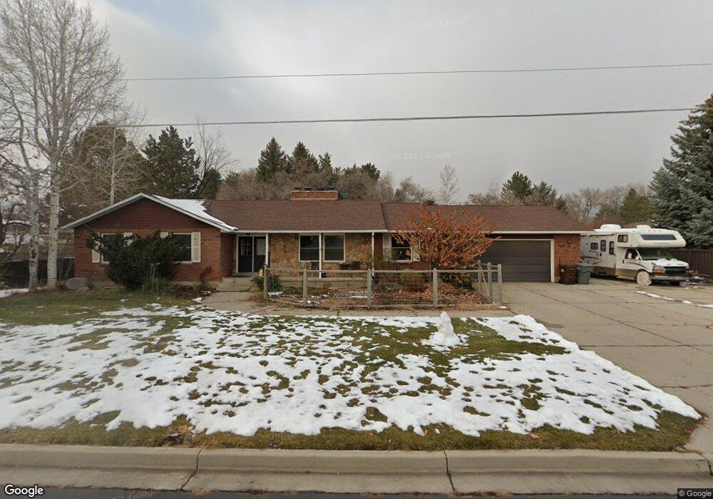
550 E 770 N Alpine, UT 84004
Estimated Value: $864,000 - $1,026,000
5
Beds
3
Baths
1,786
Sq Ft
$537/Sq Ft
Est. Value
About This Home
This home is located at 550 E 770 N, Alpine, UT 84004 and is currently estimated at $959,912, approximately $537 per square foot. 550 E 770 N is a home located in Utah County with nearby schools including Alpine School, Timberline Middle School, and Lone Peak High School.
Ownership History
Date
Name
Owned For
Owner Type
Purchase Details
Closed on
Aug 1, 2012
Sold by
Kaelin Roby R and Kaelin Robert J
Bought by
Kaelin Bryn
Current Estimated Value
Purchase Details
Closed on
Jun 16, 1997
Sold by
Kaelin Robert and Kaelin Robyn R
Bought by
Helbling James K and Helbling Mary E
Home Financials for this Owner
Home Financials are based on the most recent Mortgage that was taken out on this home.
Original Mortgage
$244,146
Outstanding Balance
$34,817
Interest Rate
7.94%
Estimated Equity
$925,095
Create a Home Valuation Report for This Property
The Home Valuation Report is an in-depth analysis detailing your home's value as well as a comparison with similar homes in the area
Home Values in the Area
Average Home Value in this Area
Purchase History
| Date | Buyer | Sale Price | Title Company |
|---|---|---|---|
| Kaelin Bryn | -- | None Available | |
| Helbling James K | -- | -- |
Source: Public Records
Mortgage History
| Date | Status | Borrower | Loan Amount |
|---|---|---|---|
| Open | Helbling James K | $244,146 | |
| Closed | Kaelin Bryn | $0 |
Source: Public Records
Tax History
| Year | Tax Paid | Tax Assessment Tax Assessment Total Assessment is a certain percentage of the fair market value that is determined by local assessors to be the total taxable value of land and additions on the property. | Land | Improvement |
|---|---|---|---|---|
| 2025 | $3,294 | $421,740 | -- | -- |
| 2024 | $3,294 | $383,955 | $0 | $0 |
| 2023 | $2,941 | $367,950 | $0 | $0 |
| 2022 | $2,879 | $477,070 | $0 | $0 |
| 2021 | $3,247 | $612,900 | $241,600 | $371,300 |
| 2020 | $3,051 | $563,700 | $210,100 | $353,600 |
| 2019 | $2,707 | $522,000 | $210,100 | $311,900 |
| 2018 | $2,651 | $505,200 | $193,300 | $311,900 |
| 2017 | $2,383 | $241,615 | $0 | $0 |
| 2016 | $2,048 | $193,655 | $0 | $0 |
| 2015 | $2,113 | $188,980 | $0 | $0 |
| 2014 | $1,838 | $162,635 | $0 | $0 |
Source: Public Records
Map
Nearby Homes
- 512 Eastridge Cir
- 381 E Watkins Cir Unit 28
- 463 Heritage Hills Dr
- 382 E Heritage Hills Dr
- 475 Grove Dr
- 287 Heritage Hills Dr
- 499 E 300 N
- 986 N Sunbrook Cir
- 1319 N Eastview Ln Unit 214
- 1333 N Eastview Ln
- 128 E Deer Crest Ln Unit 304
- 102 E Deer Crest Ln
- 19 E Elk Ct
- 1449 N Annie Cir
- 781 N Country Manor Ln
- 1540 Cherrypoint Ln Unit 7
- 1292 N Elk Ridge Ln
- 516 E Savannah Cir
- 151 Glacier Lily Dr
- 48 N 100 E
Your Personal Tour Guide
Ask me questions while you tour the home.