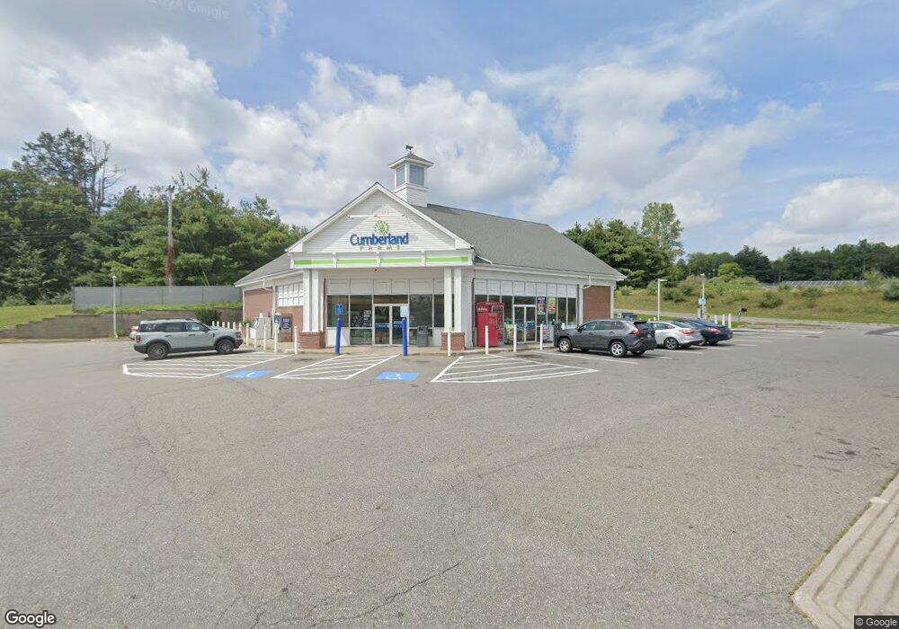
550 E Main St East Brookfield, MA 01515
Estimated Value: $4,821,015
Studio
--
Bath
4,104
Sq Ft
$1,175/Sq Ft
Est. Value
About This Home
This home is located at 550 E Main St, East Brookfield, MA 01515 and is currently estimated at $4,821,015, approximately $1,174 per square foot. 550 E Main St is a home located in Worcester County with nearby schools including David Prouty High School.
Ownership History
Date
Name
Owned For
Owner Type
Purchase Details
Closed on
Apr 23, 2020
Sold by
Cumberland Farms Inc
Bought by
Cfi Propco 2 Llc
Current Estimated Value
Purchase Details
Closed on
Oct 25, 2019
Sold by
Cumberland Farms Inc
Bought by
E Brookfield Main St Solr
Purchase Details
Closed on
Oct 25, 2005
Sold by
Daniels Farm T
Bought by
Cumberland Farms Inc
Create a Home Valuation Report for This Property
The Home Valuation Report is an in-depth analysis detailing your home's value as well as a comparison with similar homes in the area
Home Values in the Area
Average Home Value in this Area
Purchase History
| Date | Buyer | Sale Price | Title Company |
|---|---|---|---|
| Cfi Propco 2 Llc | -- | None Available | |
| E Brookfield Main St Solr | $300,000 | -- | |
| Cumberland Farms Inc | $450,000 | -- |
Source: Public Records
Tax History
| Year | Tax Paid | Tax Assessment Tax Assessment Total Assessment is a certain percentage of the fair market value that is determined by local assessors to be the total taxable value of land and additions on the property. | Land | Improvement |
|---|---|---|---|---|
| 2025 | $16,550 | $1,288,956 | $166,856 | $1,122,100 |
| 2024 | $11,818 | $925,456 | $166,856 | $758,600 |
| 2023 | $11,973 | $913,256 | $166,856 | $746,400 |
| 2022 | $12,566 | $928,756 | $166,856 | $761,900 |
| 2021 | $13,773 | $928,756 | $166,856 | $761,900 |
| 2020 | $13,451 | $907,656 | $175,056 | $732,600 |
| 2019 | $13,879 | $842,656 | $175,056 | $667,600 |
| 2018 | $12,383 | $801,000 | $174,700 | $626,300 |
| 2017 | $12,160 | $746,900 | $161,700 | $585,200 |
| 2016 | $12,356 | $707,700 | $161,700 | $546,000 |
| 2015 | $12,286 | $707,700 | $161,700 | $546,000 |
| 2014 | $12,328 | $707,700 | $161,700 | $546,000 |
Source: Public Records
Map
Nearby Homes
Your Personal Tour Guide
Ask me questions while you tour the home.