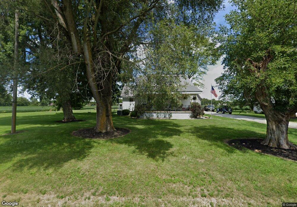
550 E Us Highway 52 Rushville, IN 46173
Estimated Value: $176,000
3
Beds
2
Baths
1,988
Sq Ft
$89/Sq Ft
Est. Value
About This Home
This home is located at 550 E Us Highway 52, Rushville, IN 46173 and is currently estimated at $176,000, approximately $88 per square foot. 550 E Us Highway 52 is a home located in Rush County with nearby schools including Rushville Consolidated High School and St. Mary Catholic School.
Ownership History
Date
Name
Owned For
Owner Type
Purchase Details
Closed on
Oct 2, 2023
Sold by
Taff Properties Inc
Bought by
Lynx Land Llc
Current Estimated Value
Purchase Details
Closed on
Oct 31, 2022
Sold by
Taff Properties Inc
Bought by
State Of Indiana
Purchase Details
Closed on
Aug 30, 2019
Sold by
Reynolds Dustin Glenn
Bought by
Reynolds Dustin G and Reynolds Anna C
Purchase Details
Closed on
Jun 14, 2019
Sold by
Taff Properties Inc
Bought by
Reynolds Dustin Glenn
Create a Home Valuation Report for This Property
The Home Valuation Report is an in-depth analysis detailing your home's value as well as a comparison with similar homes in the area
Home Values in the Area
Average Home Value in this Area
Purchase History
| Date | Buyer | Sale Price | Title Company |
|---|---|---|---|
| Lynx Land Llc | $1,100,000 | None Listed On Document | |
| State Of Indiana | $1,000 | None Listed On Document | |
| Reynolds Dustin G | -- | None Available | |
| Reynolds Dustin Glenn | -- | None Available |
Source: Public Records
Tax History
| Year | Tax Paid | Tax Assessment Tax Assessment Total Assessment is a certain percentage of the fair market value that is determined by local assessors to be the total taxable value of land and additions on the property. | Land | Improvement |
|---|---|---|---|---|
| 2025 | $1,991 | $140,000 | $140,000 | $0 |
| 2024 | $1,991 | $150,600 | $150,600 | $0 |
| 2023 | $1,785 | $125,500 | $125,500 | $0 |
| 2022 | $1,476 | $99,100 | $99,100 | $0 |
| 2021 | $1,385 | $85,200 | $85,200 | $0 |
| 2020 | $1,378 | $84,500 | $84,500 | $0 |
| 2019 | $1,617 | $104,100 | $104,100 | $0 |
| 2018 | $3,355 | $227,000 | $129,000 | $98,000 |
| 2017 | $3,236 | $239,600 | $145,000 | $94,600 |
| 2016 | $3,153 | $242,500 | $151,500 | $91,000 |
| 2014 | $2,999 | $247,100 | $157,500 | $89,600 |
| 2013 | $2,999 | $227,800 | $138,200 | $89,600 |
Source: Public Records
Map
Nearby Homes
- 551 E Us Highway 52
- 531 E Us Highway 52
- 525 E Us Highway 52
- 573 E Us Highway 52
- 1141 S Baker St
- 1223 S Ruth St
- 1166 S Baker St
- 597 E Us Highway 52
- 1165 S Baker St
- 1241 S Ruth St
- 1208 S Baker St
- 1183 S Baker St
- 489 E Us 52
- 489 E Us Highway 52
- 480 E Cameron Dr
- 1226 S Baker St
- 1269 S Ruth St
- 455 E Cameron Dr
- 490 E Cameron Dr
- 1250 S Baker St
Your Personal Tour Guide
Ask me questions while you tour the home.