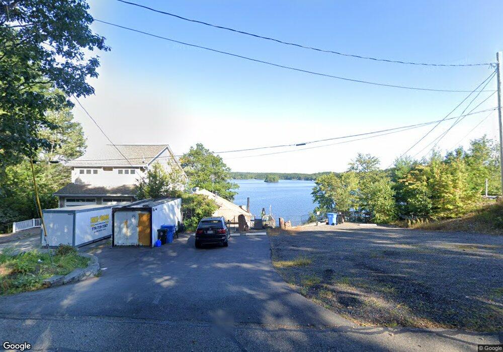
550 Eastside Rd Wrentham, MA 02093
Estimated Value: $291,000 - $1,038,000
3
Beds
2
Baths
418
Sq Ft
$1,293/Sq Ft
Est. Value
About This Home
This home is located at 550 Eastside Rd, Wrentham, MA 02093 and is currently estimated at $540,456, approximately $1,292 per square foot. 550 Eastside Rd is a home located in Norfolk County with nearby schools including Delaney Elementary School and Charles E Roderick.
Create a Home Valuation Report for This Property
The Home Valuation Report is an in-depth analysis detailing your home's value as well as a comparison with similar homes in the area
Tax History
| Year | Tax Paid | Tax Assessment Tax Assessment Total Assessment is a certain percentage of the fair market value that is determined by local assessors to be the total taxable value of land and additions on the property. | Land | Improvement |
|---|---|---|---|---|
| 2025 | $4,364 | $376,500 | $289,300 | $87,200 |
| 2024 | $3,871 | $322,600 | $289,300 | $33,300 |
| 2023 | $3,571 | $283,000 | $259,300 | $23,700 |
| 2022 | $3,290 | $240,700 | $213,300 | $27,400 |
| 2021 | $3,675 | $261,200 | $235,800 | $25,400 |
| 2020 | $3,952 | $277,300 | $240,000 | $37,300 |
| 2019 | $4,037 | $285,900 | $248,600 | $37,300 |
| 2018 | $3,413 | $239,700 | $214,600 | $25,100 |
| 2017 | $3,319 | $232,900 | $210,400 | $22,500 |
| 2016 | $3,233 | $226,400 | $204,300 | $22,100 |
| 2015 | $5,568 | $371,700 | $341,600 | $30,100 |
| 2014 | $5,479 | $357,900 | $328,500 | $29,400 |
Source: Public Records
Map
Nearby Homes
- 12 Earle Stewart Ln
- 2 Earle Stewart Ln
- 10 Earle Stewart Ln Unit Lot 5
- 3 Earle Stewart Ln
- 135 Creek St Unit 2
- 500 Franklin St
- 10 Nature View Dr
- 15 Nature View Dr
- 440 Chestnut St
- 50 Reed Fulton Ave Unit Lot 61
- 613 West St
- 1222 South St
- 282 Thurston St
- 955 Summer St
- 45 Joshua Rd
- 246 Forest Grove Ave
- 75 Jordan Rd
- 3 Oak View Terrace Unit 3
- 0 Fall Ln
- 440 South St
- 560 Eastside Rd
- 540 Eastside Rd
- 540 E Side Rd
- 530 Eastside Rd
- 580 Eastside Rd
- 590 Eastside Rd
- 600 Eastside Rd
- 640 Eastside Rd
- 610 Eastside Rd
- 650 Eastside Rd
- 660 Eastside Rd
- 175 Pokanoket Path
- 670 Eastside Rd
- 165 Pokanoket Path
- 680 Eastside Rd
- 155 Pokanoket Path
- 145 Pokanoket Path
- 690 Eastside Rd
- 500 Eastside Rd
- 135 Pokanoket Path
Your Personal Tour Guide
Ask me questions while you tour the home.