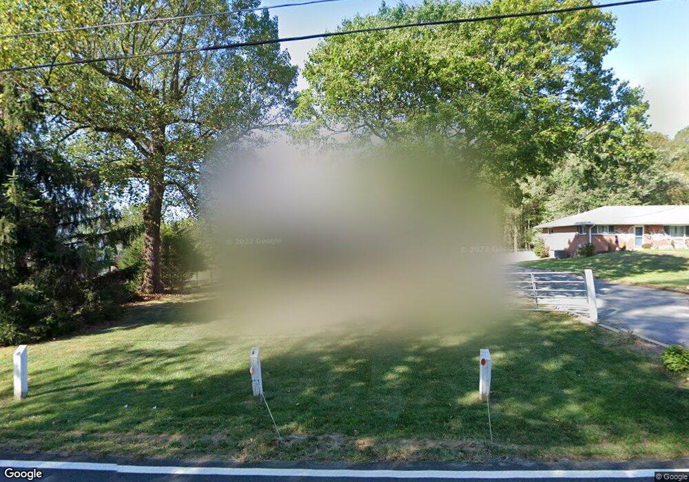
550 Ednor Rd Silver Spring, MD 20905
Ashton-Sandy Spring NeighborhoodEstimated Value: $408,458 - $615,000
Studio
3
Baths
1,184
Sq Ft
$464/Sq Ft
Est. Value
About This Home
This home is located at 550 Ednor Rd, Silver Spring, MD 20905 and is currently estimated at $549,115, approximately $463 per square foot. 550 Ednor Rd is a home located in Montgomery County with nearby schools including Sherwood Elementary School, William H. Farquhar Middle School, and Sherwood High School.
Ownership History
Date
Name
Owned For
Owner Type
Purchase Details
Closed on
Mar 2, 2015
Sold by
Washington Lisa R
Bought by
Washington Lisa R and Fenner Vanessa Ann
Current Estimated Value
Home Financials for this Owner
Home Financials are based on the most recent Mortgage that was taken out on this home.
Original Mortgage
$265,000
Outstanding Balance
$203,487
Interest Rate
3.75%
Mortgage Type
Adjustable Rate Mortgage/ARM
Estimated Equity
$345,628
Purchase Details
Closed on
Oct 5, 2012
Sold by
Washington Ross A and Washington Lisa R
Bought by
Washington Lisa R
Purchase Details
Closed on
May 4, 1995
Sold by
Gregg Wayne E
Bought by
Washington Ross A
Home Financials for this Owner
Home Financials are based on the most recent Mortgage that was taken out on this home.
Original Mortgage
$192,850
Interest Rate
8.36%
Create a Home Valuation Report for This Property
The Home Valuation Report is an in-depth analysis detailing your home's value as well as a comparison with similar homes in the area
Home Values in the Area
Average Home Value in this Area
Purchase History
| Date | Buyer | Sale Price | Title Company |
|---|---|---|---|
| Washington Lisa R | $255,184 | First American Title Ins Co | |
| Washington Lisa R | -- | None Available | |
| Washington Ross A | $203,000 | -- |
Source: Public Records
Mortgage History
| Date | Status | Borrower | Loan Amount |
|---|---|---|---|
| Open | Washington Lisa R | $265,000 | |
| Closed | Washington Ross A | $192,850 |
Source: Public Records
Tax History
| Year | Tax Paid | Tax Assessment Tax Assessment Total Assessment is a certain percentage of the fair market value that is determined by local assessors to be the total taxable value of land and additions on the property. | Land | Improvement |
|---|---|---|---|---|
| 2025 | $4,993 | $383,000 | $211,100 | $171,900 |
| 2024 | $4,993 | $383,000 | $211,100 | $171,900 |
| 2023 | $4,391 | $401,600 | $211,100 | $190,500 |
| 2022 | $3,786 | $366,367 | $0 | $0 |
| 2021 | $3,010 | $331,133 | $0 | $0 |
| 2020 | $3,010 | $295,900 | $211,100 | $84,800 |
| 2019 | $2,993 | $295,900 | $211,100 | $84,800 |
| 2018 | $2,990 | $295,900 | $211,100 | $84,800 |
| 2017 | $3,072 | $297,800 | $0 | $0 |
| 2016 | -- | $297,800 | $0 | $0 |
| 2015 | $3,586 | $297,800 | $0 | $0 |
| 2014 | $3,586 | $299,600 | $0 | $0 |
Source: Public Records
Map
Nearby Homes
- 16612 Medinah Ct
- 1325 Patuxent Dr
- 1401 Tucker Ln
- 17812 Hidden Garden Ln
- 550 Bryants Nursery Rd
- 1225 Spencerville Rd
- 17922 Ashton Club Way
- 401 Bryants Nursery Rd
- 1400 Spencerville Rd
- 15801 New Hampshire Ave
- 1625 Ashton Rd
- 410 Norwood Rd
- 1048 Windrush Ln
- 17734 Norwood Rd
- 1216 Ashton Rd
- 1320 Rainbow Dr
- 15408 Valencia St
- 1600 Rainbow Dr
- 15325 Holly Grove Rd
- 15200 Winstead Ln
- 600 Ednor Rd
- 600 Ednor Rd
- 546 Ednor Rd
- 604 Ednor Rd
- 17100 Bittersweet Ln
- 546 Ednor Rd
- 17108 Bittersweet Ln
- 17104 Bittersweet Ln
- 608 Ednor Rd
- 17101 Bittersweet Ln
- 612 Ednor Rd
- 612 Ednor Rd
- 540 Ednor Rd
- 17112 Bittersweet Ln
- 17105 Bittersweet Ln
- 544 Ednor Rd
- 17109 Bittersweet Ln
- 616 Ednor Rd
- 17113 Bittersweet Ln
- 16825 Harbour Town Dr
Your Personal Tour Guide
Ask me questions while you tour the home.