Estimated Value: $2,342,818
Studio
--
Bath
10,236
Sq Ft
$229/Sq Ft
Est. Value
About This Home
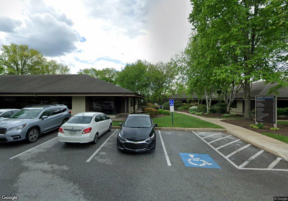
This home is located at 550 Exton Commons, Exton, PA 19341 and is currently estimated at $2,342,818, approximately $228 per square foot. 550 Exton Commons is a home located in Chester County with nearby schools including Exton Elementary School, J.R. Fugett Middle School, and West Chester East High School.
Ownership History
Date
Name
Owned For
Owner Type
Purchase Details
Closed on
Apr 30, 2007
Sold by
Rouse/Chamberlin Ltd
Bought by
Dprm 550 Exton Commons Lp
Current Estimated Value
Home Financials for this Owner
Home Financials are based on the most recent Mortgage that was taken out on this home.
Original Mortgage
$1,138,000
Outstanding Balance
$694,474
Interest Rate
6.23%
Mortgage Type
Commercial
Estimated Equity
$1,670,008
Create a Home Valuation Report for This Property
The Home Valuation Report is an in-depth analysis detailing your home's value as well as a comparison with similar homes in the area
Home Values in the Area
Average Home Value in this Area
Purchase History
| Date | Buyer | Sale Price | Title Company |
|---|---|---|---|
| Dprm 550 Exton Commons Lp | $1,422,500 | None Available |
Source: Public Records
Mortgage History
| Date | Status | Borrower | Loan Amount |
|---|---|---|---|
| Open | Dprm 550 Exton Commons Lp | $1,138,000 |
Source: Public Records
Tax History
| Year | Tax Paid | Tax Assessment Tax Assessment Total Assessment is a certain percentage of the fair market value that is determined by local assessors to be the total taxable value of land and additions on the property. | Land | Improvement |
|---|---|---|---|---|
| 2025 | $21,318 | $735,430 | $257,440 | $477,990 |
| 2024 | $21,318 | $735,430 | $257,440 | $477,990 |
| 2023 | $20,372 | $735,430 | $257,440 | $477,990 |
| 2022 | $20,096 | $735,430 | $257,440 | $477,990 |
| 2021 | $19,803 | $735,430 | $257,440 | $477,990 |
| 2020 | $19,669 | $735,430 | $257,440 | $477,990 |
| 2019 | $19,386 | $735,430 | $257,440 | $477,990 |
| 2018 | $18,954 | $735,430 | $257,440 | $477,990 |
| 2017 | $18,523 | $735,430 | $257,440 | $477,990 |
| 2016 | $16,418 | $735,430 | $257,440 | $477,990 |
| 2015 | $16,418 | $735,430 | $257,440 | $477,990 |
| 2014 | $16,418 | $735,430 | $257,440 | $477,990 |
Source: Public Records
Map
Nearby Homes
- 300 Bell Ct
- 167 Brazier Ln
- 217 Namar Ave
- 212 Cambridge Chase Unit 13
- 274 Fox Run
- 279 Red Leaf Ln
- 233 Coffman Dr
- 3500 Brazier Ln
- 404 Pitch Pine Way
- 3100 Brazier Ln
- 226 Red Leaf Ln
- 2800 Brazier Ln
- 143 Birchwood Dr
- 510 Newcomen Rd Unit F1P
- 510 Newcomen Rd Unit B3D
- 510 Newcomen Rd Unit R1D
- 510 Newcomen Rd Unit L1P
- 510 Newcomen Rd Unit M1D
- 596 Coach Hill Ct Unit C
- 720 Brainerd Rd
- 550 Exton Commons Unit 555
- 550 Exton Commons Unit 38
- 657 Exton Commons
- 555 Exton Commons Unit 38
- 500 Exton Common
- 672 Exton Common Unit 54
- 668 Exton Common
- 669 Exton Common Unit 51
- 669 Exton Common
- 662 Exton Common Unit 44
- 660 Exton Common Unit 42
- 661 Exton Common Unit 43
- 660 Exton Common
- 660 Exton Common Unit 660
- 666 Exton Common Unit 48
- 662 Exton Common
- 422 Exton Common
- 424 Exton Common Unit 24
- 430 Exton Common Unit 30
- 428 Exton Common
Your Personal Tour Guide
Ask me questions while you tour the home.