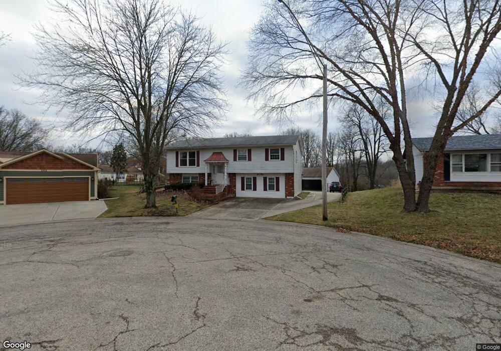
550 Forest Cir Algonquin, IL 60102
High Hill Farms NeighborhoodEstimated Value: $401,000 - $434,000
About This Home
This home is located at 550 Forest Cir, Algonquin, IL 60102 and is currently estimated at $410,639, approximately $323 per square foot. 550 Forest Cir is a home located in McHenry County with nearby schools including Kenneth E Neubert Elementary School, Harry D Jacobs High School, and St Margaret Mary Catholic School.
Ownership History
We collect this data history from publicly available records. To have your information removed, we recommend requesting removal directly through your county’s website.
Purchase Details
Home Financials for this Owner
Home Financials are based on the most recent Mortgage that was taken out on this home.Purchase Details
Home Financials for this Owner
Home Financials are based on the most recent Mortgage that was taken out on this home.Purchase Details
Home Financials for this Owner
Home Financials are based on the most recent Mortgage that was taken out on this home.Purchase Details
Home Values in the Area
Average Home Value in this Area
Purchase History
We collect this data history from publicly available records. To have your information removed, we recommend requesting removal directly through your county’s website.
| Date | Buyer | Sale Price | Title Company |
|---|---|---|---|
| $245,000 | Ticor Title Insurance Compan | ||
| $225,000 | -- | ||
| $225,000 | -- | ||
| $165,000 | Burnett Title Llc |
Mortgage History
We collect this data history from publicly available records. To have your information removed, we recommend requesting removal directly through your county’s website.
| Date | Status | Borrower | Loan Amount |
|---|---|---|---|
| Open | $179,939 | ||
| Closed | $229,625 | ||
| Closed | $232,750 | ||
| Previous Owner | $220,000 | ||
| Previous Owner | $15,500 |
Tax History
We collect this data history from publicly available records. To have your information removed, we recommend requesting removal directly through your county’s website.
| Year | Tax Paid | Tax Assessment Tax Assessment Total Assessment is a certain percentage of the fair market value that is determined by local assessors to be the total taxable value of land and additions on the property. | Land | Improvement |
|---|---|---|---|---|
| 2024 | $8,884 | $121,565 | $31,309 | $90,256 |
| 2023 | $8,432 | $108,725 | $28,002 | $80,723 |
| 2022 | $8,110 | $100,563 | $27,660 | $72,903 |
| 2021 | $7,781 | $93,687 | $25,769 | $67,918 |
| 2020 | $7,576 | $90,371 | $24,857 | $65,514 |
| 2019 | $7,391 | $86,496 | $23,791 | $62,705 |
| 2018 | $7,044 | $79,904 | $21,978 | $57,926 |
| 2017 | $6,898 | $75,275 | $20,705 | $54,570 |
| 2016 | $6,793 | $70,601 | $19,419 | $51,182 |
| 2013 | -- | $68,648 | $18,115 | $50,533 |
Map
- 615 Harper Dr
- 635 Oakview Dr Unit 6
- 461 Candlewood Ct
- 640 Clearview Ct
- 342 Country Ln
- 17 Willow St
- 416 Cold Springs St
- 1210 Merrill Ave
- SWC Talaga and Algonquin Rd
- 310 Crestwood Ct
- 209 Beach Dr
- 517 S Hubbard St
- 490 Flora Dr
- Lot #3-5 Hayes Rd
- 731 Roaring Brook Ln
- 1431 Essex St
- 1610 Hartley Dr
- 11905 Kingston Place
- 0 River Dr N Unit MRD12473279
- 1 Grandview Ct
- 540 Forest Cir
- 560 Forest Cir
- 731 Orchard Ct
- 530 Forest Cir
- 740 Mulberry Ct
- 750 Mulberry Ct
- 732 Orchard Ct
- 730 Mulberry Ct
- 405 Harper Dr
- 721 Orchard Ct
- 520 Forest Cir
- 325 Harper Dr
- 720 Mulberry Ct
- 600 Juniper Cir
- 735 Chestnut Ct
- 722 Orchard Ct Unit 1
- 415 Harper Dr
- 711 Orchard Ct
- 710 Mulberry Ct
- 510 Forest Cir
Ask me questions while you tour the home.