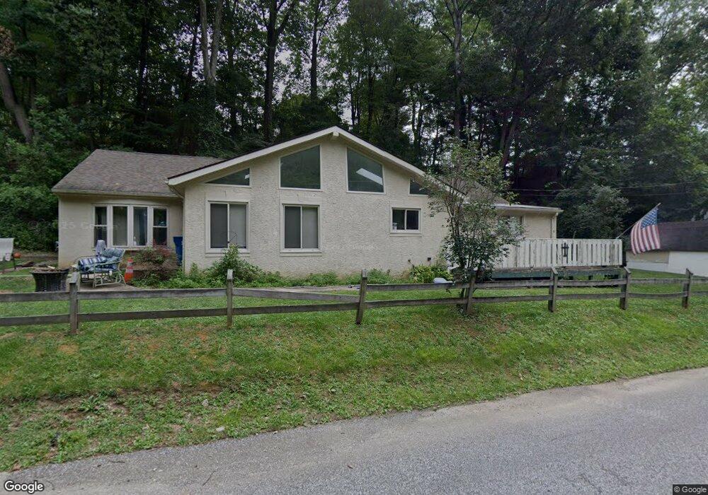
550 Grubbs Mill Rd West Chester, PA 19380
Estimated Value: $479,000 - $637,000
4
Beds
2
Baths
1,860
Sq Ft
$298/Sq Ft
Est. Value
About This Home
This home is located at 550 Grubbs Mill Rd, West Chester, PA 19380 and is currently estimated at $554,578, approximately $298 per square foot. 550 Grubbs Mill Rd is a home located in Chester County with nearby schools including East Bradford Elementary School, E.N. Peirce Middle School, and Henderson High School.
Ownership History
Date
Name
Owned For
Owner Type
Purchase Details
Closed on
Nov 30, 2021
Sold by
Halladay Suzanne M and Estate Of David Halladay Sr
Bought by
Holmes Jesse Bruce
Current Estimated Value
Purchase Details
Closed on
Jun 10, 2004
Sold by
Lansidel James A and Lansidel Sandra S
Bought by
Lansidel James A
Home Financials for this Owner
Home Financials are based on the most recent Mortgage that was taken out on this home.
Original Mortgage
$159,000
Interest Rate
4.37%
Mortgage Type
New Conventional
Create a Home Valuation Report for This Property
The Home Valuation Report is an in-depth analysis detailing your home's value as well as a comparison with similar homes in the area
Home Values in the Area
Average Home Value in this Area
Purchase History
| Date | Buyer | Sale Price | Title Company |
|---|---|---|---|
| Holmes Jesse Bruce | $450,000 | None Available | |
| Lansidel James A | -- | Commonwealth Title |
Source: Public Records
Mortgage History
| Date | Status | Borrower | Loan Amount |
|---|---|---|---|
| Previous Owner | Lansidel James A | $159,000 |
Source: Public Records
Tax History Compared to Growth
Tax History
| Year | Tax Paid | Tax Assessment Tax Assessment Total Assessment is a certain percentage of the fair market value that is determined by local assessors to be the total taxable value of land and additions on the property. | Land | Improvement |
|---|---|---|---|---|
| 2025 | $3,343 | $115,320 | $41,760 | $73,560 |
| 2024 | $3,343 | $115,320 | $41,760 | $73,560 |
| 2023 | $3,343 | $115,320 | $41,760 | $73,560 |
| 2022 | $3,299 | $115,320 | $41,760 | $73,560 |
| 2021 | $3,254 | $115,320 | $41,760 | $73,560 |
| 2020 | $3,233 | $115,320 | $41,760 | $73,560 |
| 2019 | $3,188 | $115,320 | $41,760 | $73,560 |
| 2018 | $3,120 | $115,320 | $41,760 | $73,560 |
| 2017 | $3,052 | $115,320 | $41,760 | $73,560 |
| 2016 | $2,435 | $115,320 | $41,760 | $73,560 |
| 2015 | $2,435 | $115,320 | $41,760 | $73,560 |
| 2014 | $2,435 | $115,320 | $41,760 | $73,560 |
Source: Public Records
Map
Nearby Homes
- 4 Amanda Ln
- 1280 Cardinal Ave
- 1252 Memory Ln
- Lot 1 Susan Dr
- 479 Douglas Dr
- 530 Legion Dr
- 1430 Grove Ave
- 1432 Grove Ave
- 48 Sheffield Ln
- 510 Pine Needle Dr
- 1500 Cardiff Terrace
- 1354 Old Pottstown Pike
- 112 Crosspointe Dr
- 81 Four Leaf Dr
- 306 Greenhill Rd
- 806 Downingtown Pike
- 456 Cardigan Terrace Unit 456
- 1402 Redwood Ct Unit 57
- 141 Four Leaf Dr
- 415 Anglesey Terrace
- 1178 Macpherson Dr
- 554 Grubbs Mill Rd
- 1180 Macpherson Dr
- 1182 Macpherson Dr
- 1233 Palomino Dr
- 1231 Palomino Dr
- 1235 Palomino Dr
- 1229 Palomino Dr
- 1184 Macpherson Dr
- 1227 Palomino Dr
- 664 Grubbs Mill Rd
- 1177 Macpherson Dr
- 1183 Macpherson Dr
- 1237 Palomino Dr
- 1188 Macpherson Dr
- 556 Grubbs Mill Rd
- 1236 Palomino Dr
- 1232 Palomino Dr
- 1168 Macpherson Dr
- 1239 Palomino Dr