550 Gunston Farm Rd Athens, GA 30607
Estimated Value: $999,000 - $1,289,662
--
Bed
2
Baths
2,202
Sq Ft
$520/Sq Ft
Est. Value
About This Home
This home is located at 550 Gunston Farm Rd, Athens, GA 30607 and is currently estimated at $1,144,331, approximately $519 per square foot. 550 Gunston Farm Rd is a home located in Jackson County with nearby schools including East Jackson Middle School and East Jackson Comprehensive High School.
Ownership History
Date
Name
Owned For
Owner Type
Purchase Details
Closed on
Sep 26, 2008
Sold by
Not Provided
Bought by
Sutherland David and Sutherland Sarah
Current Estimated Value
Purchase Details
Closed on
Nov 27, 1996
Bought by
Gunston Corporation
Create a Home Valuation Report for This Property
The Home Valuation Report is an in-depth analysis detailing your home's value as well as a comparison with similar homes in the area
Home Values in the Area
Average Home Value in this Area
Purchase History
| Date | Buyer | Sale Price | Title Company |
|---|---|---|---|
| Sutherland David | $400,000 | -- | |
| Gunston Corporation | -- | -- |
Source: Public Records
Tax History Compared to Growth
Tax History
| Year | Tax Paid | Tax Assessment Tax Assessment Total Assessment is a certain percentage of the fair market value that is determined by local assessors to be the total taxable value of land and additions on the property. | Land | Improvement |
|---|---|---|---|---|
| 2024 | $6,399 | $400,540 | $181,480 | $219,060 |
| 2023 | $6,399 | $378,200 | $181,480 | $196,720 |
| 2022 | $5,208 | $246,560 | $90,720 | $155,840 |
| 2021 | $5,228 | $246,560 | $90,720 | $155,840 |
| 2020 | $4,910 | $218,960 | $90,720 | $128,240 |
| 2019 | $4,672 | $219,000 | $90,760 | $128,240 |
| 2018 | $4,621 | $215,920 | $90,760 | $125,160 |
| 2017 | $3,808 | $181,656 | $81,688 | $99,968 |
| 2016 | $3,815 | $181,656 | $81,688 | $99,968 |
| 2015 | $3,818 | $181,656 | $81,688 | $99,968 |
| 2014 | $3,761 | $179,506 | $81,688 | $97,818 |
| 2013 | -- | $179,505 | $81,687 | $97,818 |
Source: Public Records
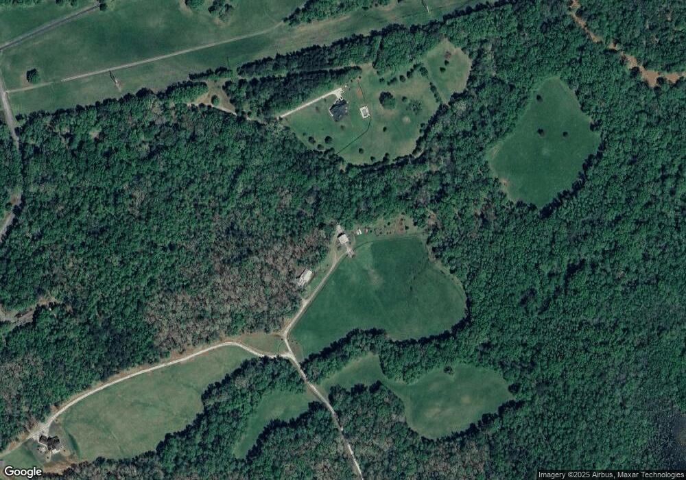
Map
Nearby Homes
- 9990 Jefferson River Rd
- 9898 Jefferson River Rd
- 9894 Jefferson River Rd
- 9992 Jefferson River Rd
- 9896 Jefferson River Rd
- 223 Sawdust Trail
- 7804 Jefferson River Rd
- 4419 New Kings Bridge Rd
- 165 Bexley Heath Dr
- 0 US Hwy 441 S Unit 20890220
- 201 Westminster Dr
- 97 Abby Ln
- 0 Abby Ln
- 2A Curry Falls Trail Rd Unit 2A
- 2B Curry Falls Trail Rd Unit 2B
- 0 Lavista Rd Unit 10380239
- 0 Lavista Rd Unit 1021467
- 0 Curry Farm Rd
- 0
- 4558 Jefferson River Rd
- 482 Timber Ridge Dr
- 555 Gunston Farm Rd
- 0 Jefferson River Rd NE Unit 4C 7019692
- 0 Jefferson River Rd NE Unit 4A
- 348 Timber Ridge Dr
- 185 Gunston Farm Rd
- 310 Timber Ridge Dr
- 562 Timber Ridge Dr
- 341 Timber Ridge Dr
- 337 Timber Ridge Dr
- 510 Timber Ridge Dr
- 730 Timber Ridge Dr
- 200 Timber Ridge Dr
- 589 Timber Ridge Dr
- 7443 Jefferson River Rd
- 7299 Jefferson River Rd
- 1276 Timber Ridge Dr
- 1335 Timber Ridge Dr
- 0 Timber Ridge Dr Unit 8441345
- 0 Timber Ridge Dr Unit 7136965