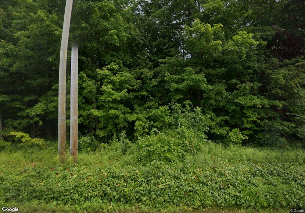
550 Hartford Turnpike Shrewsbury, MA 01545
Estimated Value: $636,437
--
Bed
--
Bath
--
Sq Ft
3
Acres
About This Home
This home is located at 550 Hartford Turnpike, Shrewsbury, MA 01545 and is currently estimated at $636,437. 550 Hartford Turnpike is a home located in Worcester County with nearby schools including Floral Street School, Sherwood Middle School, and Oak Middle School.
Ownership History
Date
Name
Owned For
Owner Type
Purchase Details
Closed on
Sep 18, 2025
Sold by
Smart Growth Design Llc
Bought by
Lachance Land Hldg Llc
Current Estimated Value
Home Financials for this Owner
Home Financials are based on the most recent Mortgage that was taken out on this home.
Original Mortgage
$472,500
Outstanding Balance
$472,500
Interest Rate
6.63%
Mortgage Type
New Conventional
Estimated Equity
$163,937
Purchase Details
Closed on
Sep 18, 2024
Sold by
Hartford Rt Of Shrewsbury and St Pierre
Bought by
Smart Growth Design Llc
Purchase Details
Closed on
Mar 5, 1984
Bought by
Hartford Rt Of Shrewsbury
Create a Home Valuation Report for This Property
The Home Valuation Report is an in-depth analysis detailing your home's value as well as a comparison with similar homes in the area
Home Values in the Area
Average Home Value in this Area
Purchase History
| Date | Buyer | Sale Price | Title Company |
|---|---|---|---|
| Lachance Land Hldg Llc | $650,000 | -- | |
| Smart Growth Design Llc | $600,000 | None Available | |
| Hartford Rt Of Shrewsbury | -- | -- |
Source: Public Records
Mortgage History
| Date | Status | Borrower | Loan Amount |
|---|---|---|---|
| Open | Lachance Land Hldg Llc | $472,500 |
Source: Public Records
Tax History Compared to Growth
Tax History
| Year | Tax Paid | Tax Assessment Tax Assessment Total Assessment is a certain percentage of the fair market value that is determined by local assessors to be the total taxable value of land and additions on the property. | Land | Improvement |
|---|---|---|---|---|
| 2025 | $69 | $570,000 | $570,000 | $0 |
| 2024 | $4,842 | $391,100 | $391,100 | $0 |
| 2023 | $5,131 | $391,100 | $391,100 | $0 |
| 2022 | $5,518 | $391,100 | $391,100 | $0 |
| 2021 | $5,159 | $391,100 | $391,100 | $0 |
| 2020 | $4,877 | $391,100 | $391,100 | $0 |
| 2019 | $4,809 | $382,600 | $382,600 | $0 |
| 2018 | $4,683 | $369,900 | $369,900 | $0 |
| 2017 | $4,746 | $369,900 | $369,900 | $0 |
| 2016 | $4,103 | $315,600 | $315,600 | $0 |
| 2015 | $4,200 | $318,200 | $318,200 | $0 |
Source: Public Records
Map
Nearby Homes
- 45 Stoney Hill Rd
- 127 Stoney Hill Rd
- 40 Adams Farm Rd
- 495 Grafton St
- 34 Clews St
- 468 Grafton St
- 165 Green St
- 22 Adams Rd
- 1 Purinton St
- 15 Windle Ave
- 7 Thoreau Cir
- Ivywood Plan at Winslow Point - The Building 1 Series
- Hayden Plan at Winslow Point - The Building 1 Series
- 562 South St
- 28 Cherry St
- 51 Cortland Grove Dr Unit 51
- 2 Winslow Ln Unit 2302
- 2 Winslow Ln Unit 406
- 603 South St
- 85 Commons Dr Unit 210
- 16 Cherry Hill Dr
- 14 Cherry Hill Dr
- 14 Cherry Hill Rd
- 12 Cherry Hill Dr
- 538 Hartford Turnpike
- 538 Hartford Turnpike Unit 2
- 538 Hartford Turnpike Unit 1
- 5 Stoney Hill Rd
- 10 Cherry Hill Rd
- 10 Cherry Hill Dr
- 8 Cherry Hill Dr
- 8 Cherry Hill Rd
- 6 Cherry Hill Dr
- 4 Cherry Hill Dr
- 0 Stoney Hill
- 0 Stoney Hill Rd
- 2 Cherry Hill Dr
- 2 Cherry Hill Rd
- 306 Cherry St
- 2 Pheasant Hill Dr