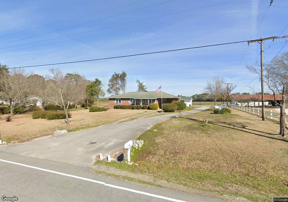
550 Koonce Fork Rd Richlands, NC 28574
Estimated Value: $230,000 - $272,000
3
Beds
2
Baths
1,475
Sq Ft
$168/Sq Ft
Est. Value
About This Home
This home is located at 550 Koonce Fork Rd, Richlands, NC 28574 and is currently estimated at $248,002, approximately $168 per square foot. 550 Koonce Fork Rd is a home located in Onslow County with nearby schools including Richlands Elementary School, Trexler Middle School, and Richlands High School.
Ownership History
Date
Name
Owned For
Owner Type
Purchase Details
Closed on
May 14, 2018
Sold by
Carter Julian J and Carter Julian J
Bought by
Carter Julian J
Current Estimated Value
Home Financials for this Owner
Home Financials are based on the most recent Mortgage that was taken out on this home.
Original Mortgage
$125,500
Outstanding Balance
$105,032
Interest Rate
3.25%
Mortgage Type
VA
Estimated Equity
$142,970
Purchase Details
Closed on
Aug 14, 2017
Sold by
Carter Rufus and Carter Joyce A
Bought by
Carter Julian J
Home Financials for this Owner
Home Financials are based on the most recent Mortgage that was taken out on this home.
Original Mortgage
$120,000
Interest Rate
3.96%
Mortgage Type
VA
Purchase Details
Closed on
Mar 29, 1973
Bought by
Carter Rufus and Carter Joyce
Create a Home Valuation Report for This Property
The Home Valuation Report is an in-depth analysis detailing your home's value as well as a comparison with similar homes in the area
Home Values in the Area
Average Home Value in this Area
Purchase History
| Date | Buyer | Sale Price | Title Company |
|---|---|---|---|
| Carter Julian J | -- | None Available | |
| Carter Julian J | $120,000 | None Available | |
| Carter Rufus | -- | -- |
Source: Public Records
Mortgage History
| Date | Status | Borrower | Loan Amount |
|---|---|---|---|
| Open | Carter Julian J | $125,500 | |
| Closed | Carter Julian J | $120,000 |
Source: Public Records
Tax History
| Year | Tax Paid | Tax Assessment Tax Assessment Total Assessment is a certain percentage of the fair market value that is determined by local assessors to be the total taxable value of land and additions on the property. | Land | Improvement |
|---|---|---|---|---|
| 2025 | $665 | $146,556 | $29,400 | $117,156 |
| 2024 | $665 | $146,556 | $29,400 | $117,156 |
| 2023 | $960 | $146,556 | $29,400 | $117,156 |
| 2022 | $960 | $146,556 | $29,400 | $117,156 |
| 2021 | $803 | $113,890 | $21,560 | $92,330 |
| 2020 | $803 | $113,890 | $21,560 | $92,330 |
| 2019 | $803 | $113,890 | $21,560 | $92,330 |
| 2018 | $803 | $113,890 | $21,560 | $92,330 |
| 2017 | $786 | $116,390 | $21,560 | $94,830 |
| 2016 | $786 | $116,390 | $0 | $0 |
| 2015 | $786 | $116,390 | $0 | $0 |
| 2014 | $786 | $116,390 | $0 | $0 |
Source: Public Records
Map
Nearby Homes
- 580 Koonce Fork Rd
- 149 Huffmantown Rd
- 190 Huffmantown Rd
- 978 Kinston Hwy
- 102 Buckhaven Dr
- 216 Luther Banks Rd
- 216 Trophy Ridge Dr
- 1070 Gregory Fork Rd
- 203 W Foy St
- 113 Woodwater Dr
- 112 W Foy St
- 135 Koonce Fork Rd
- 302 Pete Jones Dr
- 201 N Wilmington St
- 436 Huffmantown Rd
- 106 Elizabeth St
- 444 Huffmantown
- 334 Luther Banks Rd
- 201 E Hargett St
- 102 Gadson Ct
- 556 Koonce Fork Rd
- 540 Koonce Fork Rd
- 555 Koonce Fork Rd
- 562 Koonce Fork Rd
- 545 Koonce Fork Rd
- 559 Koonce Fork Rd
- 534 Koonce Fork Rd
- 539 Koonce Fork Rd
- 537 Koonce Fork Rd
- 528 Koonce Fork Rd
- 344 Ervintown Rd
- 117 Davasher Dr
- 577 Koonce Fork Rd
- 582 Koonce Fork Rd
- 111 Banks Bridge Rd
- 563 Koonce Fork Rd
- 115 Banks Bridge Rd
- 519 Koonce Fork Rd
- 565 Koonce Fork Rd
- 119 Banks Bridge Rd
Your Personal Tour Guide
Ask me questions while you tour the home.