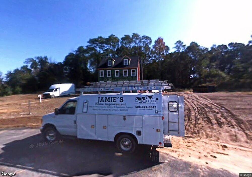
550 Mockingbird Ln Dighton, MA 02715
Estimated Value: $664,000 - $801,000
5
Beds
3
Baths
2,316
Sq Ft
$324/Sq Ft
Est. Value
About This Home
This home is located at 550 Mockingbird Ln, Dighton, MA 02715 and is currently estimated at $750,785, approximately $324 per square foot. 550 Mockingbird Ln is a home with nearby schools including Dighton-Rehoboth Regional High School.
Ownership History
Date
Name
Owned For
Owner Type
Purchase Details
Closed on
Nov 30, 2009
Sold by
Bldg Maroney
Bought by
Oconnell William G and Oconnell Ingrid A
Current Estimated Value
Home Financials for this Owner
Home Financials are based on the most recent Mortgage that was taken out on this home.
Original Mortgage
$338,661
Outstanding Balance
$221,121
Interest Rate
4.92%
Mortgage Type
Purchase Money Mortgage
Estimated Equity
$529,664
Create a Home Valuation Report for This Property
The Home Valuation Report is an in-depth analysis detailing your home's value as well as a comparison with similar homes in the area
Home Values in the Area
Average Home Value in this Area
Purchase History
| Date | Buyer | Sale Price | Title Company |
|---|---|---|---|
| Oconnell William G | $331,891 | -- |
Source: Public Records
Mortgage History
| Date | Status | Borrower | Loan Amount |
|---|---|---|---|
| Open | Oconnell William G | $338,661 |
Source: Public Records
Tax History Compared to Growth
Tax History
| Year | Tax Paid | Tax Assessment Tax Assessment Total Assessment is a certain percentage of the fair market value that is determined by local assessors to be the total taxable value of land and additions on the property. | Land | Improvement |
|---|---|---|---|---|
| 2025 | $8,563 | $681,800 | $138,400 | $543,400 |
| 2024 | $8,356 | $610,800 | $136,600 | $474,200 |
| 2023 | $7,739 | $555,200 | $136,600 | $418,600 |
| 2022 | $7,387 | $516,900 | $133,100 | $383,800 |
| 2021 | $7,000 | $472,000 | $120,500 | $351,500 |
| 2020 | $6,919 | $461,900 | $134,500 | $327,400 |
| 2019 | $6,829 | $455,600 | $134,500 | $321,100 |
| 2018 | $5,836 | $392,500 | $114,400 | $278,100 |
| 2017 | $5,352 | $358,200 | $132,700 | $225,500 |
| 2016 | $5,285 | $347,000 | $136,600 | $210,400 |
| 2015 | $5,177 | $349,800 | $140,500 | $209,300 |
| 2014 | $4,733 | $310,800 | $140,500 | $170,300 |
Source: Public Records
Map
Nearby Homes
- 1889 Elm St
- 2081 Manomet Ave
- 441 Marion Ave
- 966 Main St
- 6 Waterford Cir
- 418 Hart St
- 7 Maris Ln
- 35 Water St
- 0 Bayview Ave
- 2798 Elm St
- 0 Wellington St
- RR74 Club House Dr Unit RR74
- 73H Club House Dr Unit Lot 73H
- 35 Clubhouse Dr Unit RR35
- RR36 Club House Dr Unit Lot RR36
- RR33 Club House Dr Unit Lot RR33
- RR38 Club House Unit RR38
- G1 Club House Dr Unit G1
- RR37 Club House Dr Unit RR37
- R39 Club House Dr Unit Lot R39
- 540 Mockingbird Ln
- 549 Mockingbird Ln
- 1836 Elm St
- Lot 3 Mockingbird Ln
- Lot 7 Mockingbird Ln
- Lot 5 Mockingbird Ln
- Lot 1 Mockingbird Ln
- lot 1 Mockingbird Ln L:
- 545 Mockingbird Ln
- 513 Mockingbird Ln
- 383 Brook St
- 1890 Elm St
- 1841 Elm St
- 1825 Elm St
- 1853 Elm St
- 1863 Elm St
- 1788 Elm St Unit 1
- 1788 Elm St
- 1813 Elm St
- 1813 Elm St Unit 1
