550 N Elm St Fowler, MI 48835
Estimated Value: $251,000 - $273,000
3
Beds
2
Baths
1,536
Sq Ft
$169/Sq Ft
Est. Value
About This Home
This home is located at 550 N Elm St, Fowler, MI 48835 and is currently estimated at $260,167, approximately $169 per square foot. 550 N Elm St is a home located in Clinton County with nearby schools including Waldron Elementary/Middle School, Fowler High School, and Most Holy Trinity School.
Ownership History
Date
Name
Owned For
Owner Type
Purchase Details
Closed on
Jun 30, 2009
Sold by
Louis E & Monica M Thelen Living Trust and Thelen Steven L
Bought by
Luark Jason A and Luark Stephanie A
Current Estimated Value
Home Financials for this Owner
Home Financials are based on the most recent Mortgage that was taken out on this home.
Original Mortgage
$109,600
Outstanding Balance
$69,878
Interest Rate
4.86%
Mortgage Type
Purchase Money Mortgage
Estimated Equity
$190,289
Purchase Details
Closed on
Jun 26, 2009
Sold by
Thelen Louis E and Thelen Steven L
Bought by
Louis E & Monica M Thelen Living Trust
Home Financials for this Owner
Home Financials are based on the most recent Mortgage that was taken out on this home.
Original Mortgage
$109,600
Outstanding Balance
$69,878
Interest Rate
4.86%
Mortgage Type
Purchase Money Mortgage
Estimated Equity
$190,289
Create a Home Valuation Report for This Property
The Home Valuation Report is an in-depth analysis detailing your home's value as well as a comparison with similar homes in the area
Purchase History
| Date | Buyer | Sale Price | Title Company |
|---|---|---|---|
| Luark Jason A | $137,000 | None Available | |
| Louis E & Monica M Thelen Living Trust | -- | None Available |
Source: Public Records
Mortgage History
| Date | Status | Borrower | Loan Amount |
|---|---|---|---|
| Open | Luark Jason A | $109,600 |
Source: Public Records
Tax History
| Year | Tax Paid | Tax Assessment Tax Assessment Total Assessment is a certain percentage of the fair market value that is determined by local assessors to be the total taxable value of land and additions on the property. | Land | Improvement |
|---|---|---|---|---|
| 2025 | $2,114 | $116,100 | $31,500 | $84,600 |
| 2024 | $16 | $111,100 | $25,500 | $85,600 |
| 2023 | $1,478 | $100,800 | $0 | $0 |
| 2022 | $2,486 | $93,600 | $20,800 | $72,800 |
| 2021 | $2,422 | $87,600 | $20,000 | $67,600 |
| 2020 | $2,343 | $79,400 | $15,300 | $64,100 |
| 2019 | $1,972 | $75,200 | $13,000 | $62,200 |
| 2018 | $1,421 | $69,600 | $12,500 | $57,100 |
| 2017 | -- | $69,200 | $13,300 | $55,900 |
| 2016 | -- | $59,000 | $13,300 | $45,700 |
| 2015 | -- | $59,700 | $0 | $0 |
| 2011 | -- | $65,600 | $0 | $0 |
Source: Public Records
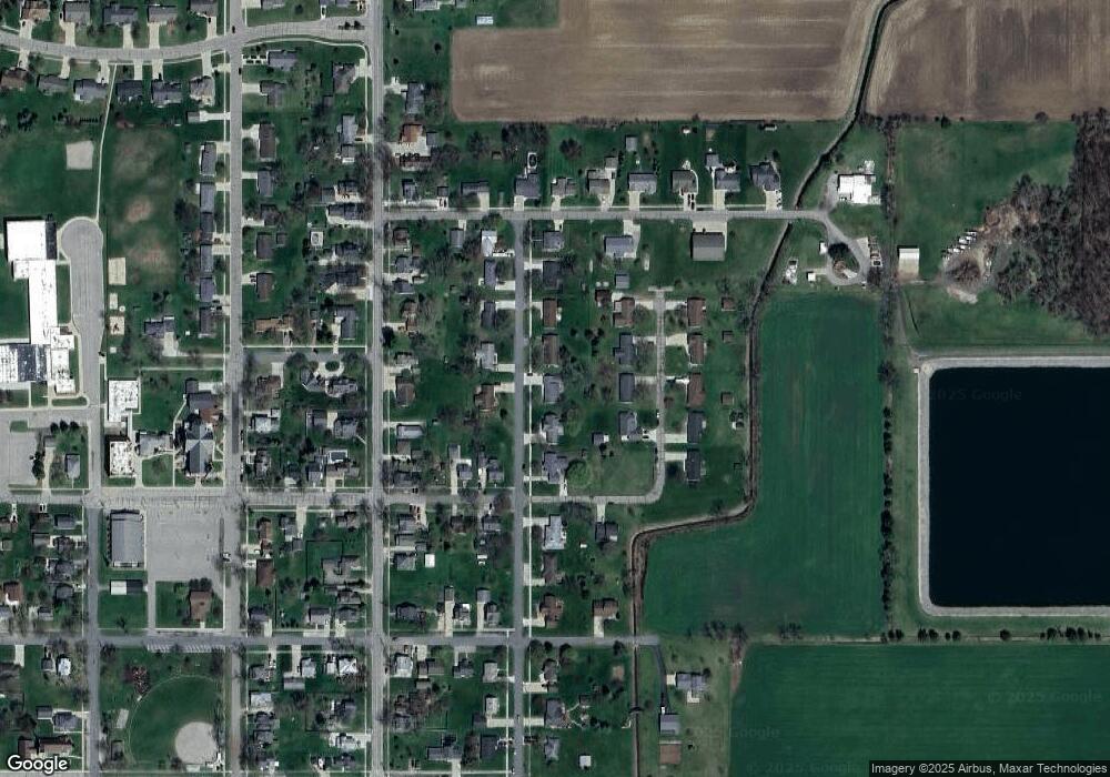
Map
Nearby Homes
- 11040 W Ionia St
- V/L W M21
- Lot 8 N Wright Rd
- 11138 W 2nd St
- 982 Norway Dr
- 154 S Yates St
- 9515 W Moss Rd
- 0 Yates St
- 0 S Grange Rd
- 5550 Paxton Rd
- 0 W Colony Unit 286993
- 0 W Colony Unit 292916
- 10400 E Pewamo Rd Unit 19
- 7900 Church Rd
- 7240 Empire Rd
- 8150 Idared Rd
- 8095 Mcintosh Rd
- 132 E Washington St
- 209 W Adelaide St
- 129 E Main St
Your Personal Tour Guide
Ask me questions while you tour the home.