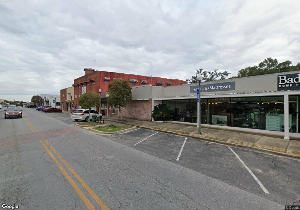
550 N Main St Crestview, FL 32536
Estimated Value: $203,271
Studio
--
Bath
1,575
Sq Ft
$129/Sq Ft
Est. Value
About This Home
This home is located at 550 N Main St, Crestview, FL 32536 and is currently estimated at $203,271, approximately $129 per square foot. 550 N Main St is a home located in Okaloosa County with nearby schools including Riverside Elementary School, Shoal River Middle School, and Crestview High School.
Ownership History
Date
Name
Owned For
Owner Type
Purchase Details
Closed on
Feb 25, 2022
Sold by
Hub City Properties Llc
Bought by
Maggies Way Llc
Current Estimated Value
Purchase Details
Closed on
Nov 20, 2015
Sold by
Troell A Richard and Troell Lisa Ann
Bought by
Hub City Properties Llc
Home Financials for this Owner
Home Financials are based on the most recent Mortgage that was taken out on this home.
Original Mortgage
$82,500
Interest Rate
3.87%
Mortgage Type
Future Advance Clause Open End Mortgage
Create a Home Valuation Report for This Property
The Home Valuation Report is an in-depth analysis detailing your home's value as well as a comparison with similar homes in the area
Home Values in the Area
Average Home Value in this Area
Purchase History
| Date | Buyer | Sale Price | Title Company |
|---|---|---|---|
| Maggies Way Llc | $200,000 | Americas Title Corp | |
| Hub City Properties Llc | $110,000 | The Main Street Land Title C |
Source: Public Records
Mortgage History
| Date | Status | Borrower | Loan Amount |
|---|---|---|---|
| Previous Owner | Hub City Properties Llc | $82,500 |
Source: Public Records
Tax History
| Year | Tax Paid | Tax Assessment Tax Assessment Total Assessment is a certain percentage of the fair market value that is determined by local assessors to be the total taxable value of land and additions on the property. | Land | Improvement |
|---|---|---|---|---|
| 2025 | $2,782 | $179,653 | $53,352 | $126,301 |
| 2024 | $2,750 | $157,236 | $43,376 | $113,860 |
| 2023 | $2,750 | $169,974 | $42,525 | $127,449 |
| 2022 | $2,247 | $150,545 | $30,321 | $120,224 |
| 2021 | $2,002 | $119,545 | $28,337 | $91,208 |
| 2020 | $2,104 | $133,664 | $25,979 | $107,685 |
| 2019 | $1,948 | $123,813 | $25,979 | $97,834 |
| 2018 | $1,850 | $122,265 | $0 | $0 |
| 2017 | $1,710 | $111,607 | $0 | $0 |
| 2016 | $1,420 | $81,978 | $0 | $0 |
| 2015 | $2,143 | $121,085 | $0 | $0 |
| 2014 | $1,969 | $117,505 | $0 | $0 |
Source: Public Records
Map
Nearby Homes
- 855 N Pearl St
- 383 N Booker St
- 116 N Savage St
- 276 E Elm Ave
- TBD E Juniper Ave
- 803 N Lloyd St
- 209 Cabana Way
- 3312 Highway 90
- 198 E 1st Ave
- 296 S Wilson St
- 302 E 2nd Ave
- 227 E 3rd Ave
- 824 W Walnut Ave
- 673 W Walnut Ave
- 324 Dixie St
- 450 S Savage St
- 658 W Griffith Ave
- 630 W Griffith Ave
- 102 Grimes Ave
- 625 E Chestnut Ave
- 544 N Main St Unit 1
- 544 N Main St Unit 2
- 544 N Main St
- 504 N Main St
- 196 W Pine Ave
- 554 Main St
- 468 N Main St
- 492 N Wilson St
- 114 Cedar Ave
- 432 N Main St
- .88 ACRE N Wilson St
- 250 W Pine Ave Unit ABCD
- 00 U S 90
- 000 U S 90
- 501 N Spring St
- TBD Lots 7 8 9 Spring St
- 482 N Wilson St
- 648 N Wilson St
- 000 N Wilson St
- TBD Wilson St
Your Personal Tour Guide
Ask me questions while you tour the home.