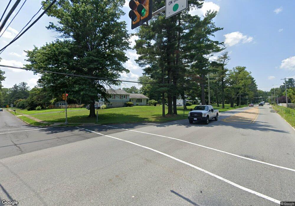
550 Norristown Rd Horsham, PA 19044
Estimated Value: $730,000 - $873,000
3
Beds
3
Baths
2,640
Sq Ft
$302/Sq Ft
Est. Value
About This Home
This home is located at 550 Norristown Rd, Horsham, PA 19044 and is currently estimated at $796,026, approximately $301 per square foot. 550 Norristown Rd is a home with nearby schools including Lower Gwynedd El School, Wissahickon Middle School, and Wissahickon Senior High School.
Ownership History
Date
Name
Owned For
Owner Type
Purchase Details
Closed on
Mar 19, 2004
Sold by
Miller Raymond H and Miller Mary L
Bought by
Miller Gary R
Current Estimated Value
Home Financials for this Owner
Home Financials are based on the most recent Mortgage that was taken out on this home.
Original Mortgage
$333,600
Interest Rate
5.56%
Create a Home Valuation Report for This Property
The Home Valuation Report is an in-depth analysis detailing your home's value as well as a comparison with similar homes in the area
Home Values in the Area
Average Home Value in this Area
Purchase History
| Date | Buyer | Sale Price | Title Company |
|---|---|---|---|
| Miller Gary R | $417,000 | -- |
Source: Public Records
Mortgage History
| Date | Status | Borrower | Loan Amount |
|---|---|---|---|
| Closed | Miller Gary R | $333,600 |
Source: Public Records
Tax History Compared to Growth
Tax History
| Year | Tax Paid | Tax Assessment Tax Assessment Total Assessment is a certain percentage of the fair market value that is determined by local assessors to be the total taxable value of land and additions on the property. | Land | Improvement |
|---|---|---|---|---|
| 2025 | $7,546 | $253,410 | $117,330 | $136,080 |
| 2024 | $7,546 | $253,410 | $117,330 | $136,080 |
| 2023 | $7,172 | $253,410 | $117,330 | $136,080 |
| 2022 | $6,907 | $253,410 | $117,330 | $136,080 |
| 2021 | $6,681 | $253,410 | $117,330 | $136,080 |
| 2020 | $6,503 | $253,410 | $117,330 | $136,080 |
| 2019 | $6,359 | $253,410 | $117,330 | $136,080 |
| 2018 | $1,286 | $253,410 | $117,330 | $136,080 |
| 2017 | $6,047 | $253,410 | $117,330 | $136,080 |
| 2016 | $5,949 | $253,410 | $117,330 | $136,080 |
| 2015 | $5,653 | $253,410 | $117,330 | $136,080 |
| 2014 | $5,653 | $253,410 | $117,330 | $136,080 |
Source: Public Records
Map
Nearby Homes
- 1 Woods Ln
- Lot 1 Beech Hollow Rd
- 744 Tennis Ave
- 829 Foxfield Rd
- 770 Johns Ln
- 2300 Navajo Path
- 904 Seminole Gardens
- 501 N Bethlehem Pike Unit 13B
- 501 N Bethlehem Pike Unit 12F
- 501 N Bethlehem Pike Unit 14P
- 0 Johns Ln Unit BROOKSIDE ELITE
- 0 Johns Ln Unit EMERSON ELITE
- 2000 Chippewa Ridge
- 1602 Seneca Run
- 1000 Quinard Ct
- 189 Fox Run Rd
- 309 Annasmead Rd Unit 43
- 1 Fox Pond
- 884 Tennis Ave
- 459 Edgewood Dr
- 600 Norristown Rd
- 500 Norristown Rd
- 504 Norristown Rd
- 604 Norristown Rd
- 504 Norristown Rd
- Lot1 Woods Ln
- 608 Norristown Rd
- 1036 Woods Ln
- Lot1 B Woods Ln
- 1024 Woods Ln
- 1100 Radcliff Ln
- 1096 Radcliff Ln
- 418 Norristown Rd
- 1019 Davis Rd
- 1020 Woods Ln
- 416 Norristown Rd
- 416 Norristown Rd
- 1034 Radcliff Ln
- 1017 Davis Rd
- 1066 Radcliff Ln
